DHI GRAS part of a new partnership to promote satellite solutions in the Arctic

DHI GRAS part of a new partnership to promote satellite solutions in the Arctic

17 DECEMBER 2020

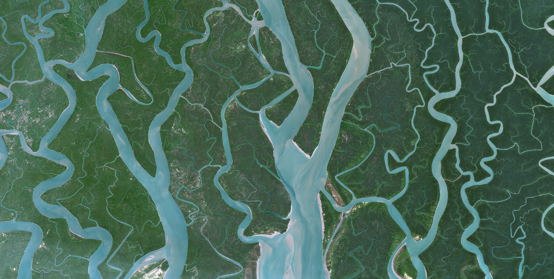
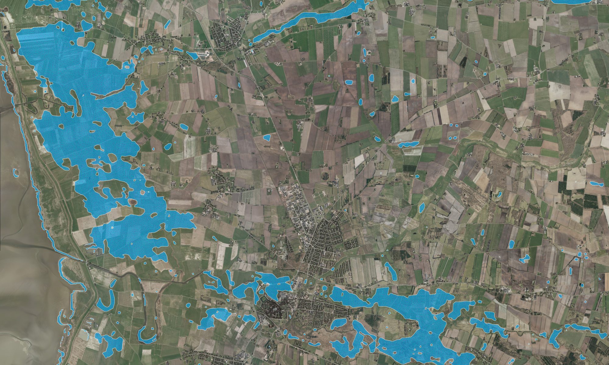
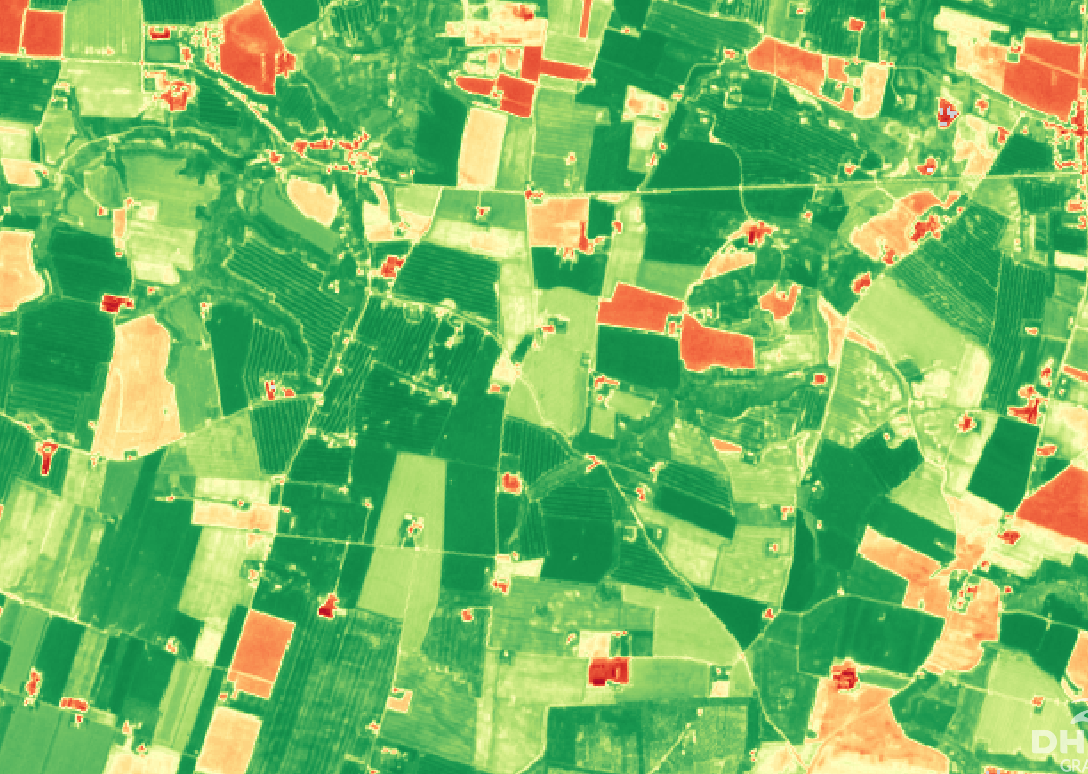
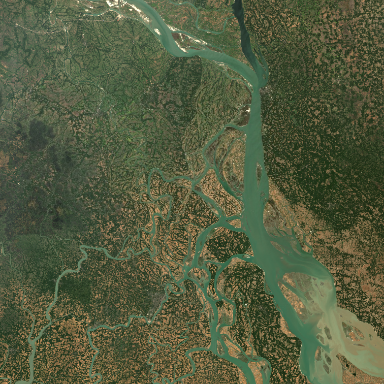
Promoting and developing novel satellite-based solutions and services to enhance maritime safety and environmental monitoring in the Arctic is an important part of our DNA, and our 20-year legacy. As part of our continuous and long-term commitment to enhance opportunities in the Arctic, making best use of satellite data, we are proud to be part of the newly established Danish Partnership for space in the Arctic ‘Kongeriget Danmarks Partnerskab for Rum i Arktis’.

Through this partnership - alongside 25 Danish, Faroese, and Greenlandic partners – we will build on our Arctic expertise by creating new avenues for space-based solutions and services in the Arctic, and bringing these services closer to the core stakeholders. This partnership underpins the long-term perspectives and potential of satellite data use in the Arctic, and it illustrates the reality of space-based solutions being the only option to consistently map and monitor the change and dynamics in the vast expanses of the Artic. With increasing commercial activity, the evident impacts of climate change and high geopolitical interest – this is more important than ever!

Within, and beyond, the framework of this partnership we are looking forward to continuing our committed journey in the Arctic, and we look forward to the opportunities and challenges ahead.

WindSight – improving the accuracy of wind resource assessments through EO solutions

WINDSIGHT - IMPROVING THE ACCURACY OF WIND RESOURCE ASSESSMENTS THROUGH EO SOLUTIONS:

1 december 2020

Frictional forces due to land properties (such as terrain height and the physical structure of vegetation (height, density, etc.)) influence the strength and direction of the wind at the surface. Therefore, reliable, and timely data and information on such properties is critical, to accurately assess the availability of wind resources. However, assessments of wind energy resources is a highly complex and time consuming process – ultimately relying on consistent, accurate and timely models and input data. Yet, in many cases, especially in forested sites, surface data on roughness and forest height is inaccessible or simply not available and this may impact the ability of wind modelers to accurately assess wind resources.

Satellites provides new opportunities for characterizing surface properties and estimating surface roughness

The launch of many new satellite missions that routinely monitor land surfaces, combined with the latest advances in machine learning technology, has underpinned new ways to accurately and regularly map and monitor surface properties and surface roughness, thus addressing the existing data gap. 

In this blog we will describe how we at DHI, together with the wind industry, has developed a new portfolio of surface roughness products, based on the latest satellite data and machine learning technology, and tested them for the wind community.  

The high resolution land cover product is automated to ensure consistent, reliable and timely global delivery
The forest height product can be delivered globally and replace most needs for LIDAR campaigns

From explorative research to a mature and robust solution

In 2020, the 3 year long Innovation Fund Denmark project ‘Innowind’ by VESTAS, Vattenfall, EMD International A/S, the Technical University of Denmark (DTU) and DHI GRAS concluded.

This project examined the effect of using satellite-based input layers for flow modeling at the meso- and microscale and trialed these data layers at a selection of global sites, where ground truth observations were available and wind turbines are planned or in operation. Forested sites were particularly in focus, as they have the strongest impact on wind flow and represent 75% of new land-based wind energy developments. The chain of models for resource assessment was adapted to utilize novel satellite-based input layers.

Introducing WindSight

InnoWind progressed the assessment of wind energy resources by working with the EU/ESA Copernicus satellite data and products within aerodynamic flow models. Copernicus Global and pan-European products, describing vegetation properties such as forest type and density, was used in combination with digital elevation models to derive the surface drag force. This new approach could eliminate indirect and subjective assessments of surface properties and reduce the uncertainty modelled wind resources. Further, it provides a pathway to more accurate, automated and consistent assessments at different sites.

As a result of three years’ development efforts, a new satellite-based product portfolio entitled ‘WindSight’ was developed, aiming to improve the accuracy of wind resource assessments. 

The high resolution forest density product can be delivered globally and replace most needs for LIDAR campaigns
The high resolution land trend product provides a powerful tool to uncover historic trends and dynamics and predict future forest cover change
The very high resolution elevation products are available globally and provides a cost-efficient alternative to LIDAR based elevation models.

5 different products in one tailored data package

DHI WindSight includes 5 different high-quality and high-resolution data products on land cover, key forest characteristics, historical and future changes, topography and surface roughness – tailored for wind sites anywhere in the World.

    1. Land Cover: The land cover product is generated in near real time using best in class satellite imagery to provide up-to-date, reliable and accurate information about land cover types, in grid sizes up to 10 meters
    2. Forest products: Based on current or historical image analysis of high- satellite imagery, the forest products provide detailed insight on current and historical forest height and forest density in grid sizes of 20 meters.
    3. Historical and future changes: Based on time-series analysis of high-resolution satellite imagery, the land change product provides information about past, current and future forest cover and site conditions.
    4. Very high-resolution (VHR) elevation layers: The VHR elevation and topography data layers are provided in grid sizes down to 1 meter, comparable in quality to more expensive LIDAR based elevation models.
    5. Surface roughness: Using state-of-the-art models, surface roughness data is generated through conversion of the forest density, land cover and forest height data products. These advanced roughness length layers are compatible as input for a wide range of softwares and modelling methods including windPRO, WaSP and CDF tools

How do we get the data out there? - still learning what the modelling community wants

We have now tested WindSight for almost 20 sites. The feedback we get from the modelling community is that the improved surface data layers from WindSight seem to decrease the cost of wind energy development by increasing the precision of assessment of wind resources and lowering uncertainty in the planning phase.

We thereby think WindSight will challenge current industry practice by a new approach where surface properties are derived directly from satellite-based map layers. This eliminates indirect and subjective assessment through field visits or interpretations of optical imagery (e.g. Google Earth).

This is all very good and a big step forward in providing more accurate base layers for wind modeling. But what does the wind modelling community think? We have talked to some companies but certainly not all. In order to get this technology further adopted by the modelling community we still struggle to understand what the global community needs when it comes to wind model input data. Some of the questions we need answers to are:

    • Are LIDAR campaigns always required in forest areas and can WindSight replace LIDAR campaigns?
    • Do wind modelers develop the surface roughness layers or forest height data from the LIDAR data or from other data types?
    • How often do wind modellers need LIDAR data on forest heights and surface roughness?
    • How frequent and fast would wind modelers mostly like to access the data?

To help us shape a product that best fits your needs and requirements, we hope that you will answer our short survey by clicking the button below. 

The high resolution surface roughness map has been tested in several sites globally and shows significant improvements in wind flow modelling especially in forested sites
Author: Torsten Bondo (TBON@dhigroup.com)

EOatDHI part of the DHI GROUP

gras@dhigroup.com
+45 4516 9100

Agern Alle 5,
2970 Hørsholm,
Denmark

CVR: 36466871

Did you know that satellites provide a cost-efficient and effective tool to monitor water quality?

A Gazelle observed from space – DHI GRAS awarded business growth award from Børsen

A Gazelle observed from space – DHI GRAS awarded business growth award from Børsen

23 OCTOBER 2020

We are proud to announce that DHI GRAS has received Børsen’s Gazelle prize 2020, in recognition of our continuous growth and development.

Each year, since 1995, Børsen has identified Denmark’s growth elite, and over time the gazelle has become part of the Danish language as a synonym for growth businesses. In short, a Gazelle is a business which has ’achieved a continuous growth in revenue for the last four financial years, and which has, in total, more than doubled the revenue in the period’.

First and foremost, the Gazelle prize reflects the dedicated efforts and hard work of our growing team, whose commitment to innovation and excellence defines our achievements of success. It is through their curiosity, creativity, and willingness to challenge status quo that we continuously transcend the limits of space data, by creating new products and services that creates real and positive impact on the ground.

However, our sustained growth is also a testimony to the maturity and value of the space sector and earth observation, which from its infancy, in the early days of DHI GRAS, 20 years ago, has developed from a niche to a mainstream technology. This transformation is not least facilitated through the deployment of increasingly more satellites in recent years, which has made earth observation data more accessible, affordable, and more usable than ever before. This foundation will only grow bigger, and so will the relevance and opportunities provided by the space sector and downstream service providers, such as DHI GRAS.

As a new Gazelle, DHI GRAS is experiencing a surge in our activities. New innovative products are created, new partnerships have been formed and new customers gained. We are excited about the future of DHI GRAS and have already set our target towards next year’s Gazelle award. We are ready to continue to drive change and innovation in earth observation!

Winning the Gazelle price is a tangible evidence of the growth and success of DHI GRAS - and we are extremely delighted to receive this award. It’s a testimony to the fact that the work we do creates real value and positive impact for our customers and clients. However, it goes without saying, that no company can grow in the long run without energized and passionate employees who believes in the mission and understand how to achieve it. So, while this award is an indicator of our financial growth, it’s a manifestation of the collective efforts of our fantastic team and I am very excited to share this award with them.
Rasmus Borgstrøm
Managing Director

Our beautiful planet as seen from space – how satellites help monitor earth’s vital signs

Our beautiful planet as seen from space - how satellites help monitor earth's vital signs

15 SEPTEMBER 2020

From natural disasters to a global pandemic, 2020 has been marked in history as a year of global extremes.

Let’s take a moment to distance ourselves from negative news and showcase the beauty and diversity of our planet, as seen from space.

‘Day-and-night, the entirety of our planet is surveyed by an ever-increasing number of Earth observation satellites that capture the astonishing beauty and dynamics of our planet. In DHI GRAS we get to appreciate this beauty daily, and today we want to share our world with you.

A satellite image is worth a thousand words. While the images below show the magnificence of our planet, they also contain critical data that can be used to synoptically map and monitor it's pulse.

A growing variety of sensor types and capabilities, as well as novel analytics tools and data processing techniques, have propelled satellite-based Earth observation into a new era.

The images below contains modified Copernicus Sentinel data [2020] Image credits European Space Agency - ESA

Earth observation – the new frontier in coastal resilience planning

Earth observation - the new frontier in coastal resilience planning

06 AUGUST 2020

Healthy oceans and well-managed coastlines are key in ensuring that island and coastal communities are resilient to climate change impacts.

For agile and spatially-distributed response, data about changes, trends and environmental status in coastal areas is critical. However, comprehensive assessments of coastal zones are costly, complex and cumbersome to carry out.

Now you can take advantage of the latest satellite technology and machine learning algorithms to meet your monitoring needs – at a low cost.

To support coastal resilience planning, we provide:

✔️Up-to-date data on coastline positions & assessments of erosion/accretion over time (Click here to learn more about our coastline mapping solution)

✔️Mapping & monitoring of the dynamics of submerged aquatic vegetation (Click here to learn more about our submerged aquatic vegetation solution)

✔️Mapping of land cover/land use in high spatiotemporal resolution (Click here to learn more about our land cover mapping solution)

✔️Near real-time mapping of flood extent & frequency (Click here to learn more about Flood Metrics)

✔️Near real-time monitoring of water quality & suspended sediment (Click here to learn more about our water quality solution)

✔️Up-to-date bathymetry in shallow waters in resolutions from 2-30 m (Click here to learn more about our satellite-derived bathymetry solution)

✔️The latest Very High Resolution (VHR) satellite imagery covering your project area (Click here to learn more about satellite imagery and acquisition prices)

EOatDHI part of the DHI GROUP

gras@dhigroup.com
+45 4516 9100

Agern Alle 5,
2970 Hørsholm,
Denmark

CVR: 36466871

Releasing Flood Metrics – High-quality and cost-efficient information for your flood monitoring needs

Flood Metrics - Introducing our new all-in-one interface for our satellite-based flood monitoring products:

20 July 2020

Flooding’s are one of the most common and devastating types of natural disasters – causing significant social, economic and environmental consequences. The impacts of these events are often exacerbated by lacking data and information to support informed emergency response and flood protection measures.

New satellite data, novel image processing methods and state-of-art machine learning algorithms have propelled satellite-based flood mapping into a new era, providing a time-critical resource to address this data gap, as a fast, efficient and accurate tool for mapping water on terrain and flooded areas.

Our novel image processing methods, advanced machine learning algorithms and automated processing workflows of best in class satellite imagery has fueled a new generation of low-cost operational flood monitoring products to provide timely, accurate and reliable data on flooding events.

Our new Flood Metrics portal provides an all-in-one interface to this state-of-the-art product line, allowing users to search, explore and receive instant price ranges for 3 different products (Flood extent, Digital Elevation Models and Flood frequency).

Visit floodmetrics.dhigroup.com/home for more information or click the button below to access Flood Metrics directly.

EOatDHI part of the DHI GROUP

gras@dhigroup.com
+45 4516 9100

Agern Alle 5,
2970 Hørsholm,
Denmark

CVR: 36466871

Releasing WindSight: Our new satellite-based data product suite to improve wind resource assessments

WindSight - Our new satellite-based data products to improve wind resource assessments:

16 JUNE 2020

Accurate estimations of wind energy resources are highly complex and time consuming - ultimately relying on consistent, accurate and timely input data. Yet, in many cases such data is inaccessible or simply not available and this may impact the ability of wind modelers to accurately assess wind resources.

As a result of three years’ development efforts alongside VESTAS, Vattenfall, EMD International A/S and the Technical University of Denmark (DTU), we are excited to unveil a new generation of satellite-based products to adress this data gap and underpin and improve the accuracy of wind resource assessments. Our new WindSight data package is a new generation of detailed, accurate, reliable and timely satellite-based data information products to improve, and complement, existing data used in wind models.

The services and products of the WindSight package were developed by DHI GRAS through Innowind: an Innovation Fund Denmark partnership from 2017-2020 with VESTAS, Vattenfall, EMD and DTU that aimed to improve the accuracy and coverage of map layers that are used as input to state-of-the-art flow models.

WindSight includes 5 different high-quality and high-resolution data products on land cover, key forest characteristics, historical and future changes, topography and surface roughness - tailored for wind sites anywhere in the World.

WindSight includes 5 different high-quality and high-resolution data products on land cover, key forest characteristics, historical and future changes, topography and surface roughness. The core of the product suite includes the novel forest products which provide detailed inside on current and historical forest height and forest density, in grid sizes of 20 meters. Together with the improved 10 m. land cover product, these provide the backbone of the surface roughness product that provides accurate insight on roughness length - directly compatible as input for a wide range of software and modelling methods including WindPRO, WaSP and CFD tools.

If you want to know more about WindSight, visit windsight.dhigroup.com/ and sign up to join our launch webinar on Thursday September 3 from 10:00 to 11:00 CET here.

EOatDHI part of the DHI GROUP

gras@dhigroup.com
+45 4516 9100

Agern Alle 5,
2970 Hørsholm,
Denmark

CVR: 36466871

Novel satellite-based solutions to underpin irrigation management

Monitoring evapotranspiration from space

14 July 2020

Water scarcity challenges, extreme drought and increasing competition for water are frequently featured in news headlines – a testimony to, and constant reminder of, the urgency of addressing global water issues. This urgency is further recalled by the United Nations through the adoption of the sustainable development framework in 2015, which includes a dedicated goal (SDG # 6) on water issues.

Tools to underpin optimisation of water use productivity are thus instrumental in order to secure sustainable water resource management and ultimately achieve SDG 6. DHI’s satellite-based methodology to derive reliable and timely evapotranspiration estimations at field level provides a vital instrument to support informed decision making of critical water resources. Our novel tool delivers essential information to support water use efficiency within several domains, including irrigation management, by providing an indication of areas where crops experience water stress, as well as water licensing schemes by providing a cost-effective and efficient means to do water accounting.

As a primary outcome of the development efforts conducted through the European Space Agency funded project Sen-ET, we are further evolving our evapotranspiration and crop water needs products into robust applications for water resource management. In a new EU funded project ‘NextLand’ we are exploring new innovative and operational services to strengthen the entire value chain of the agricultural and forestry sector. Through ET4FAO, funded by the @European Space Agency, we are demonstrating the use of our evapotranspiration tool to provide a robust and operational monitoring solution of agricultural water use at continental, national and local levels.

Concurrent to the implementation of Nextland and ET4FAO, we are exploring a number of commercial partnerships with major information providers to the agricultural industry as well as leading irrigation equipment producers.

EOatDHI part of the DHI GROUP

gras@dhigroup.com
+45 4516 9100

Agern Alle 5,
2970 Hørsholm,
Denmark

CVR: 36466871

DHI GRAS to lead efforts to develop global level EO tools and data to strengthen water resource management

DHI GRAS to lead efforts to develop global level EO tools and data to strengthen water resource management

29 APRIL 2020

We are delighted to announce that DHI GRAS has been contracted by the European Space Agency (ESA), to lead a consortium consisting of GeoVille GmbH (Austria), GISAT (Czech Republic), GRID-Arendal (Norway) and the technical university of Denmark (DTU), in a large new application project: “WorldWater - Surface Water Dynamics”.

Water is essential for life on Earth and a critical natural resource that underpins all social and economic activity. During the last century, water consumption has increased twice as fast as the world’s population, and today water scarcity affects more than 40 percent of people globally – a disturbing figure which is expected to rise if we do not change our habits and respond to climate change and future global warming.

The dedicated goal on water in the 2030 agenda for sustainable development has brought a spotlight on water policy at global level, and in national planning, to avoid an accelerating ‘water crisis’ towards 2030. However, a ‘water crisis’ is ultimately a management crisis, that can be solved through the application of sound water management policies and initiatives. The need for proper and timely information on water (non-) availability is a critical requirement for water management activities. In large, remote and inaccessible regions, in-situ monitoring of inland waters is sparse, and hydrologic monitoring can significantly benefit from information extracted from satellite earth observation (EO).

Through the lens of Sustainable Development Goal (SDG) 6 and specific use case studies, the WorldWater project will demonstrate how global coverage EO data, can be used to systematically and accurately measure inland surface water resources. WorldWater will complement existing EO initiatives and projects (e.g. Global Surface Water Explore and the Copernicus global land services) by further developing EO tools and products to effectively use the most up to date, open and free satellite data, primarily from the Sentinel missions, for improved monitoring of the world’s inland water resources in both extent and volume.

WorldWater is, therefore, a crucial project aiming to address the critical needs of authorities, at all levels, to adapt and formulate water policies, and report on water resources, in a timely manner and based on valid scientific information. More specifically, WorldWater will provide essential tools and information to strengthen evidence-based planning and management to support authorities in addressing the global ‘water crisis’.