Tools
Our collection of online applications providing satellite data and insights
Our Online Tools:
DHI GRAS's services have supported many industries and countries, and we want you to see what satellite data can do for your organization.
Below you'll find a collection of interactive viewers showcasing our various data products. The portals enable you to directly purchase your desired data, and the viewers show interactive examples of real-life satellite data application
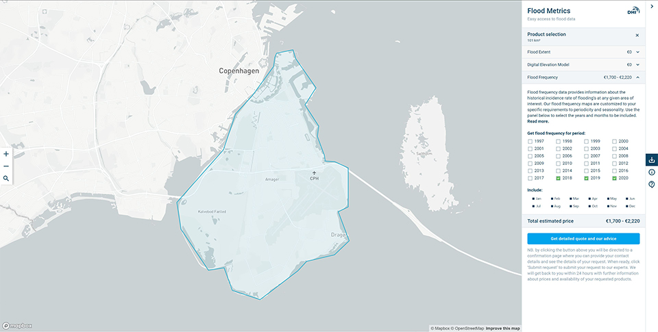
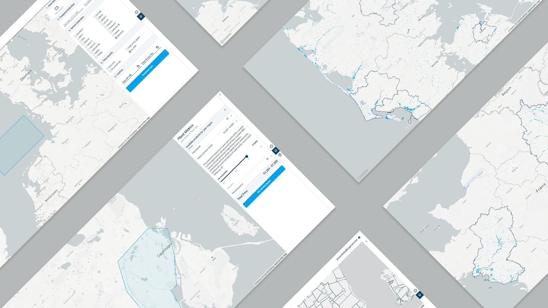
Flood Metrics allows you to search, request and purchase our novel satellite-based flood products and Digital Elevation Models (DEM).
Altimetry
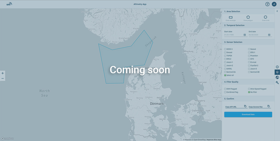
Tool facilitating easy use of the API access to altimetry data prepared for use in MetOcean studies and for validation of and assimilation in hydro-dynamical models.
The VeriCAP analytics toolbox provides a sleek and custom tailored web viewer for easy presentation and reporting of check by monitoring through out VeriCAP solution.
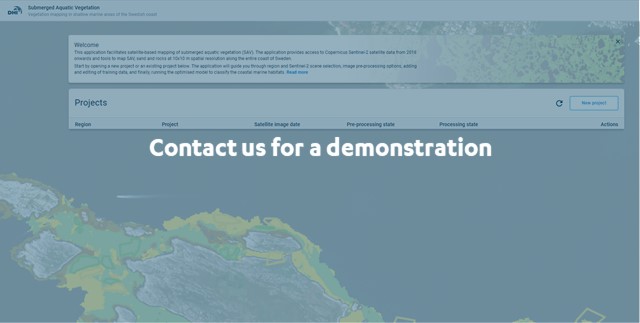
Submerged Aquatic Vegetation
The submerged aquatic vegetation (SAV) online tool provides a cloud based environment for on demand mapping of SAV at scale, using the latest satellite data and advanced machine learning algorithms.
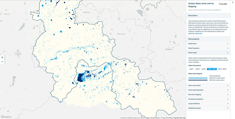
Data on surface water, snow cover and river and lake ice dynamics products generated for the Ishim and Nura river basins in Kazakhstan.
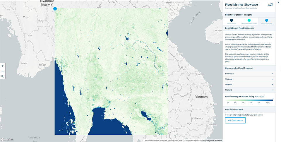
On this site you can visualize and explore examples of the data products offered through Flood Metrics.
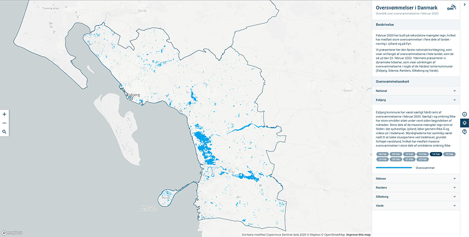
Provides insight in the affected areas of the Danish floods during the Spring of 2020.
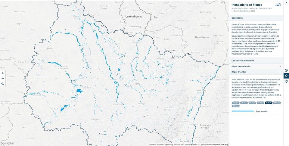
Provides insight in the affected areas of the French floods during the Spring of 2020.
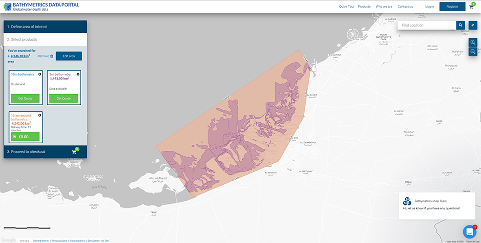
The Bathymetrics Data Portal enables you to search, purchase and automatically download the best available water depths information for your area of interest.
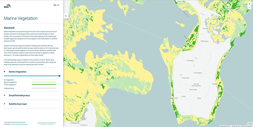
Here we present a first-ever nationwide mapping of the submerged coastal vegetation (eelgrass and macroalgae) in Denmark based on satellite data from 2018.
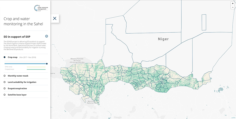
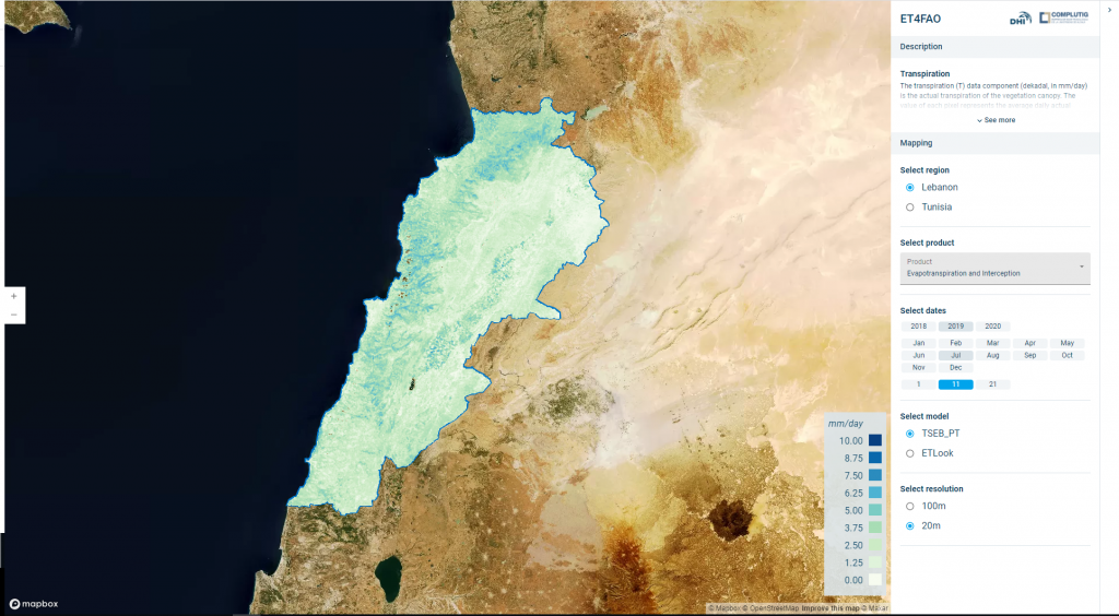
The ET4FAO project is demonstrating the utility of satellite-based evapotranspiration maps from field level to national scale.
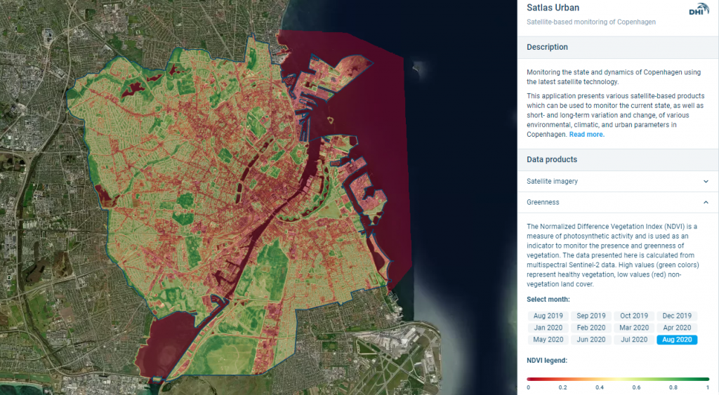
Satlas urban demonstrates the application of satellite derived datasets to monitor physical and environmental parameters in urban areas.
Portal
Enables you to search, purchase and automatically download the best available water depths information for your area of interest in three simple steps
Data
Water related earth observation all around the world.
Portal
Flood data for 5 Danish regions after the flood events in March 2020.
Viewer
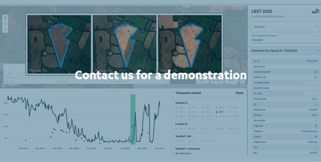
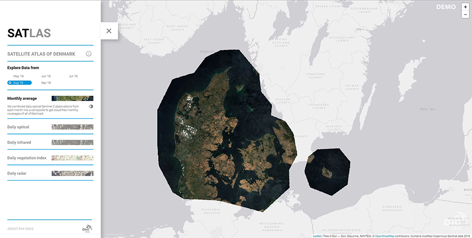
Daily Danish satellite data in Optical, Infrared and Normalized Vegetation Index.
Viewer
The first-ever nationwide mapping of the submerged coastal vegetation (eelgrass and macroalgae) in Denmark based on satellite data from 2018.
Quote generator
Viewer to provide insights in satellite observed flood data.
19 Viewers
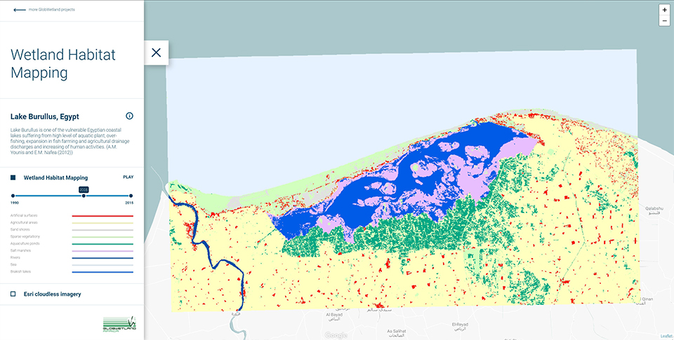
Assisting African authorities to make the best use of satellite-based information on wetland extent and condition for better measuring the ecological state of wetlands.
Data viewer
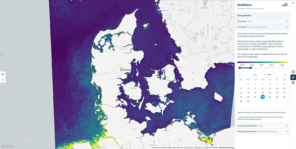
Near-daily data on the status of Danmark's waters, with focuss on Chlorophyll and Total Suspended Matter levels.
National composite
The entire 2018 archive of Sentinel 2 images has been combined into a composite to get a cloud-free annual coverage of Italy.
EOatDHI part of the DHI GROUP
gras@dhigroup.com
+45 4516 9100
Agern Alle 5,
2970 Hørsholm,
Denmark
CVR: 36466871

