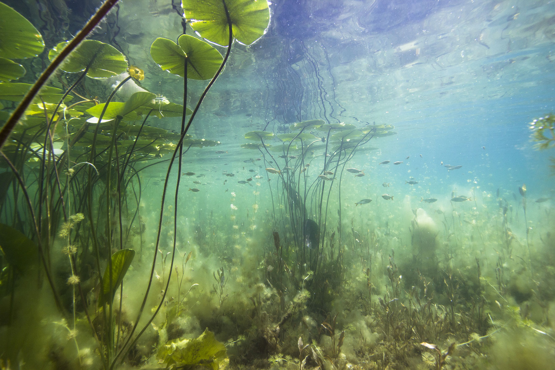
Assessing water quality and its variability in space and time to be able . . .

Water Quality
Assessing water quality and its variability in space and time
Why is it important?
Having access to near real-time information about the conditions of water quality and its distribution is essential to proactively manage risks and improve responses to water incidents, such as algal blooms, red tides or sediment plumes.
Remote-sensing is the only practical and economical method to detect the quality of marine environments as well as remote and large inland waters where frequent in situ sampling is impossible. Satellite-image archives enable change detection of previously unmeasured or un-monitored water bodies.
How does it work?
At DHI GRAS we process satellite imagery with state-of-the-art algorithms to produce accurate and seamless maps on water quality, such as chlorophyll concentrations or suspended matter content.
These maps enable assessments of the current and historic state of the water quality and its variability in space and time, which is key for impact assessments, early warnings, environmental monitoring as well as water resource management.
What you get!
Detailed and customised mapping of the water quality in your water environment with very fast turn-around time
Insights into historical water quality conditions and comparison with present information
Seamless integration of information from Earth Observation and in situ monitoring into your decision support system
Typical customers?
Contractors to survey the impact of construction work in marine environments
Authorities to complement or redesign traditional water quality monitoring for their monitoring obligations, e.g. for the Water Framework Directive or support early warnings of occurrences of algae blooms, red tides and sediment plumes
Aquaculture farmers to monitor water condition and its variability in space and time or support site selection decisions
Specifications
All data can be aggregated according to customer specifications, such as seasonal means, monthly means etc.
In general, satellites provide information on the uppermost layer of the water body
Please contact us for more information
Price list
Contact us for a quote
EOatDHI part of the DHI GROUP
gras@dhigroup.com
+45 4516 9100
Agern Alle 5,
2970 Hørsholm,
Denmark
CVR: 36466871
