Land cover mapping represent perhaps the most common and useful application of satellite . . . .
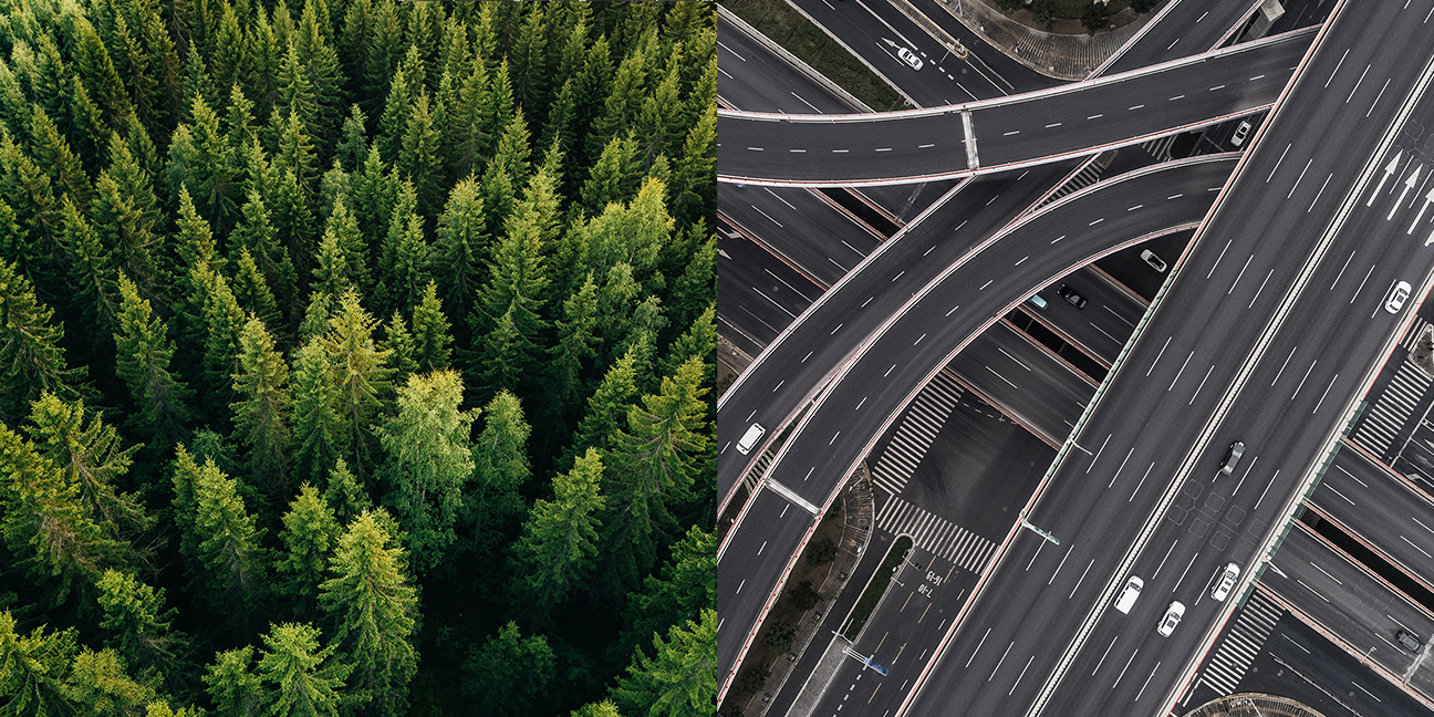
Land Cover
A graphical representation of the land surface
Why is it important?
Land cover mapping represent perhaps the most common and useful applications of satellite remote sensing.
Land cover mapping is used within a wide range of applications including natural resource management, urban planning, hydrological modeling and exploration of oil, gas, and minerals.
The access to historical data makes it possible to detect land cover and land cover changes back in time, and the continued supply of new image data allows monitoring and detection of changes in land cover in the observed period of time. Up-to-date land cover maps and change detection maps are often used in environmental impact assessments.
How does it work?
A satellite image contains information that can readily be analyzed and interpreted visually.
Nevertheless, it is in some cases necessary to convert the satellite image to a thematic map of different land cover or land use types.
This will make it possible to work quantitatively with the characteristics of the area to analyse and understand the land cover and surface better.
A land cover representation allows to perform calculations on i.e. the area of each class or analyze distances to roads or settlements. Comparing historical assessments of land cover with recent land cover allows for investigating landscape changes.
Land cover and land cover change maps are often used as inputs to hydrological models or for environmental impact assessments.
What you get!
An up-to-date graphical representation of the surface
A systematic assessment of land cover with custom tailored classes
Various resolution and accuracies are possible depending on needs
Typical customers?
Hydrologists use land cover as input to regional hydrological models, soil erosion models or flood models
Environmental managers use land cover as background for other thematic layers (e.g. administrative units, location of towns, environmental sensitive areas etc.) as part of Environmental Impact Assessments
Agronomists/forest managers use landcover to understand and update agricultural statistics on i.e. crop types, fallow periods, deforestation, and forest regrowth
Specifications
The basic principle behind land cover mapping is the ability to distinguish different surface covers based on their spectral signatures
Typical land cover classes we map are: vegetation, built-up area, water bodies, agricultural areas and forest areas
The actual classes to be mapped depends on the usage of the land cover maps
Our approach is to customize the land cover maps with regards to budget, actual classes and detail level
Price list
Typically land cover maps are produced in 10-30 m resolution with approximately 10 different classes, but can be produced in much finer details down to 30 cm resolution
The cost for land cover maps typically starts at a few thousand euros, but actual price depends on detail level and actual land cover classes
Contact us for a specific quote