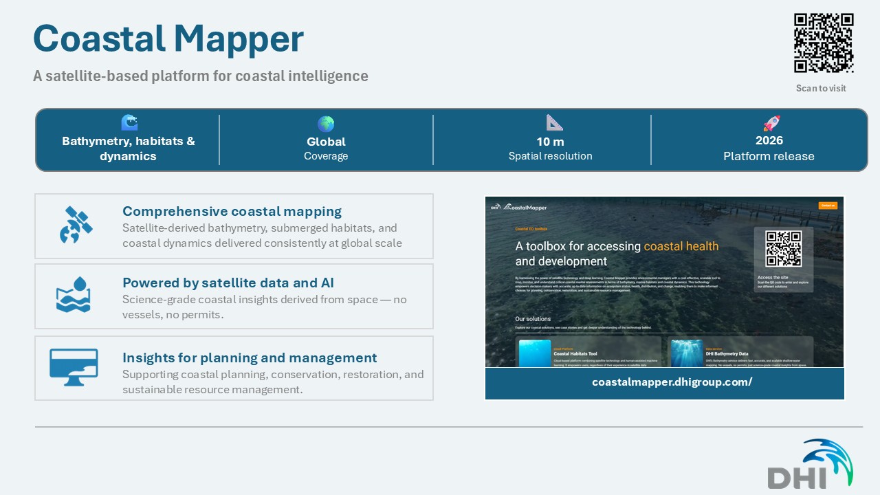
Launching Coastal Mapper – integrated satellite‑based coastal mapping services
18 May 2026
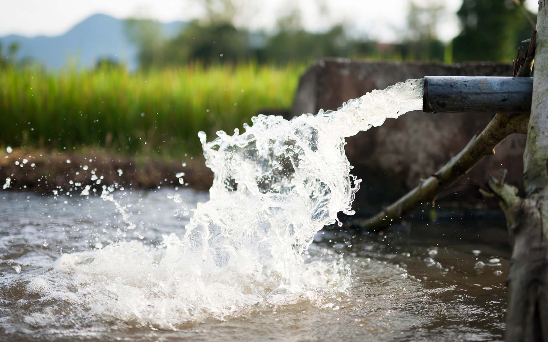
Coastal authorities and planners around the world are under growing pressure to act quickly on erosion, flooding, and ecosystem degradation. Yet the information required to support these decisions is often fragmented across datasets, disciplines, and update cycles.
To help address this challenge, DHI has launched Coastal Mapper – a new portfolio of satellite-based coastal mapping services that brings together bathymetry, coastal dynamics, and aquatic habitat information into a coherent, decision-ready coastal overview.
Addressing a common coastal data challenge
Recent storm surges and coastal flooding events, including along the Danish coastline, have highlighted how difficult it can be to make confident decisions when key coastal information is outdated, inconsistent, or analysed in isolation. Similar challenges are seen globally:
-
-
- In low-lying and urbanised coasts, outdated or coarse bathymetric information limits reliable flood and exposure assessments.
- Along erosive shorelines, coastal dynamics evolve faster than traditional monitoring cycles can capture.
- In many regions, aquatic habitats – such as seagrass, reefs, and wetlands – are mapped inconsistently, despite their critical role in coastal protection and restoration planning.
-
Coastal Mapper is designed to respond directly to these challenges by providing integrated coastal intelligence derived consistently from satellite data.
Three complementary coastal mapping services
Coastal Mapper brings together DHI’s expertise in Earth observation, coastal processes, and applied decision support through three core service areas:
Bathymetry
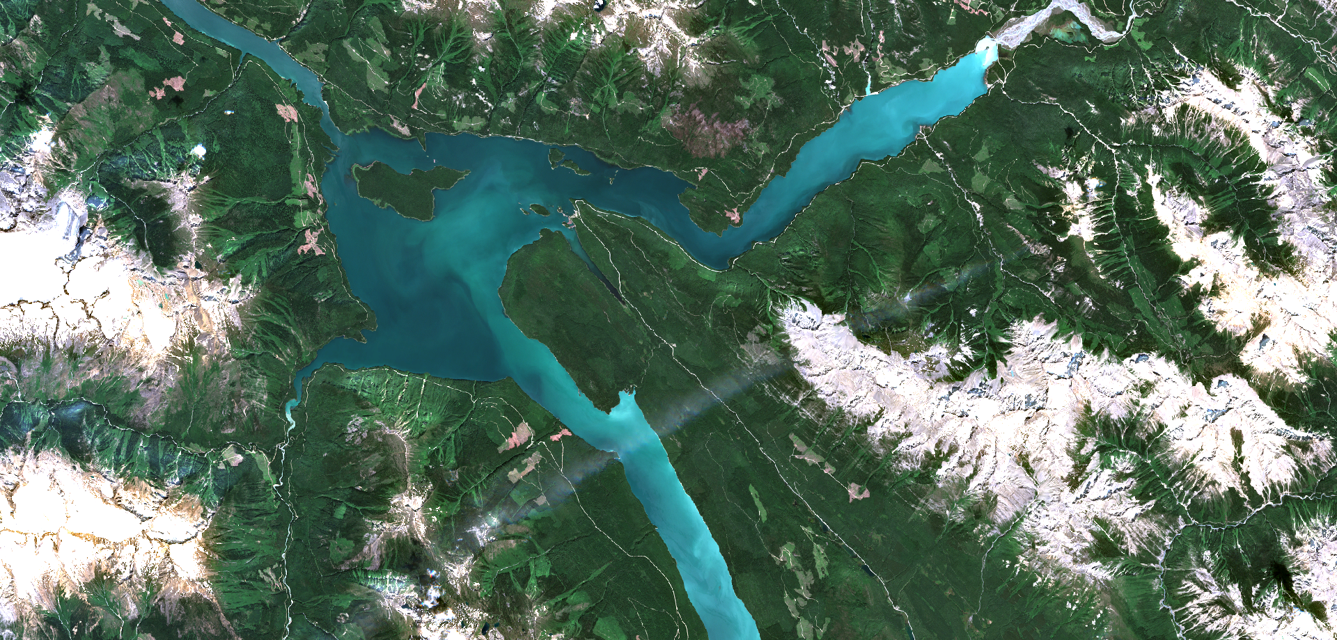
Satellite-derived coastal bathymetry providing spatially consistent depth information in shallow and nearshore waters. These services support flood risk assessments, exposure analysis, and coastal planning where traditional survey data may be sparse or outdated.
Coastal dynamics
Mapping and monitoring of shoreline position, erosion and accretion patterns, intertidal dynamics, and coastal change over time – enabling improved understanding of how coastlines respond to natural processes and human interventions.
Aquatic habitats
High-resolution mapping of submerged and coastal habitats such as seagrass, reefs, wetlands, and mangroves, including information on spatial extent, variability, and change. These insights support conservation, restoration, and nature-based solutions.
Together, these services provide a coherent picture of how coastal morphology, dynamics, and ecosystems interact, supporting more informed and transparent decision-making.
From satellite data to decision-ready coastal insight
Rather than delivering isolated datasets, Coastal Mapper focuses on translating satellite-derived information into usable coastal intelligence for planning, prioritisation, and communication. Services are designed to support a wide range of applications, including:
-
-
- Coastal risk and adaptation planning
- Nature-based solutions and ecosystem restoration
- Coastal zone management and spatial planning
- Monitoring and reporting at local, national, and regional scales
-
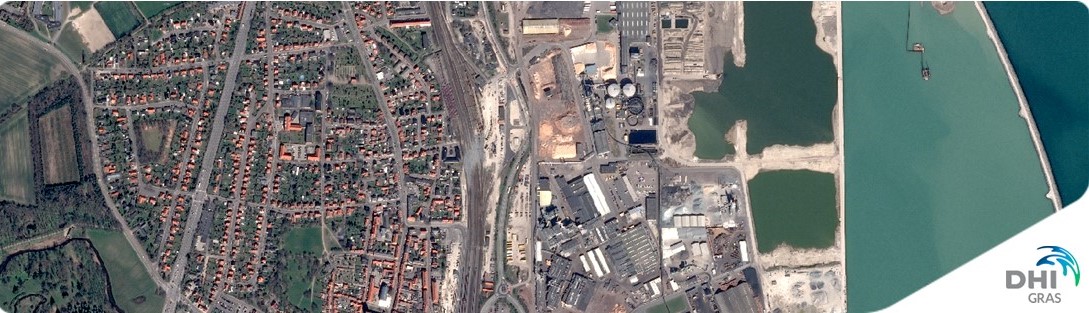
Coastal Mapper builds on DHI’s long-standing experience delivering operational satellite-based solutions across diverse geographies – from Arctic coastal navigation support in Greenland to national-scale habitat mapping and shoreline classification projects in Europe, Asia, and North America.
Explore Coastal Mapper
Coastal Mapper is available as a set of flexible mapping and analysis services that can be adapted to local coastal challenges and decision contexts.
Learn more about Coastal Mapper, visit us at coastalmapper.dhigroup.com