NANOK – Nautical Navigation Operational Knowledge
Large scale mapping of submerged rocks, intertidal zones and accurate delineation of coastlines across the Arctic region.

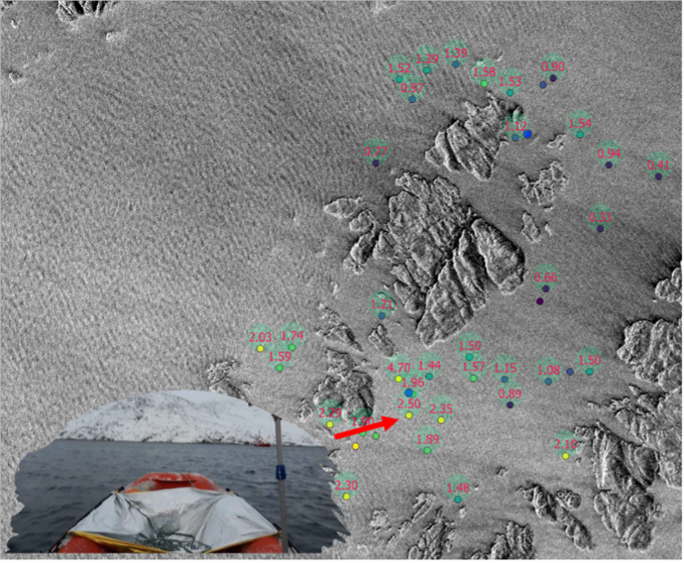
Exploring how Danish companies within the marine, security and defense sectors can contribute with solutions increasing the visibility of small maritime objects in radar satellite images.
Feasibility live tests of equipment and tech solutions under Arctic conditions, securing Arctic-fit solutions.
Bridging scientific and industry knowledge and experience, safeguarding scientific and industry excellence and requirements.
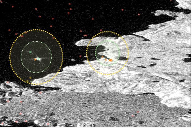

Large scale mapping of submerged rocks, intertidal zones and accurate delineation of coastlines across the Arctic region.
Delivering earth observation enriched high-quality metocean data to enhance fuel efficiency in the shipping industry. . . .