
Surface Water Monitoring
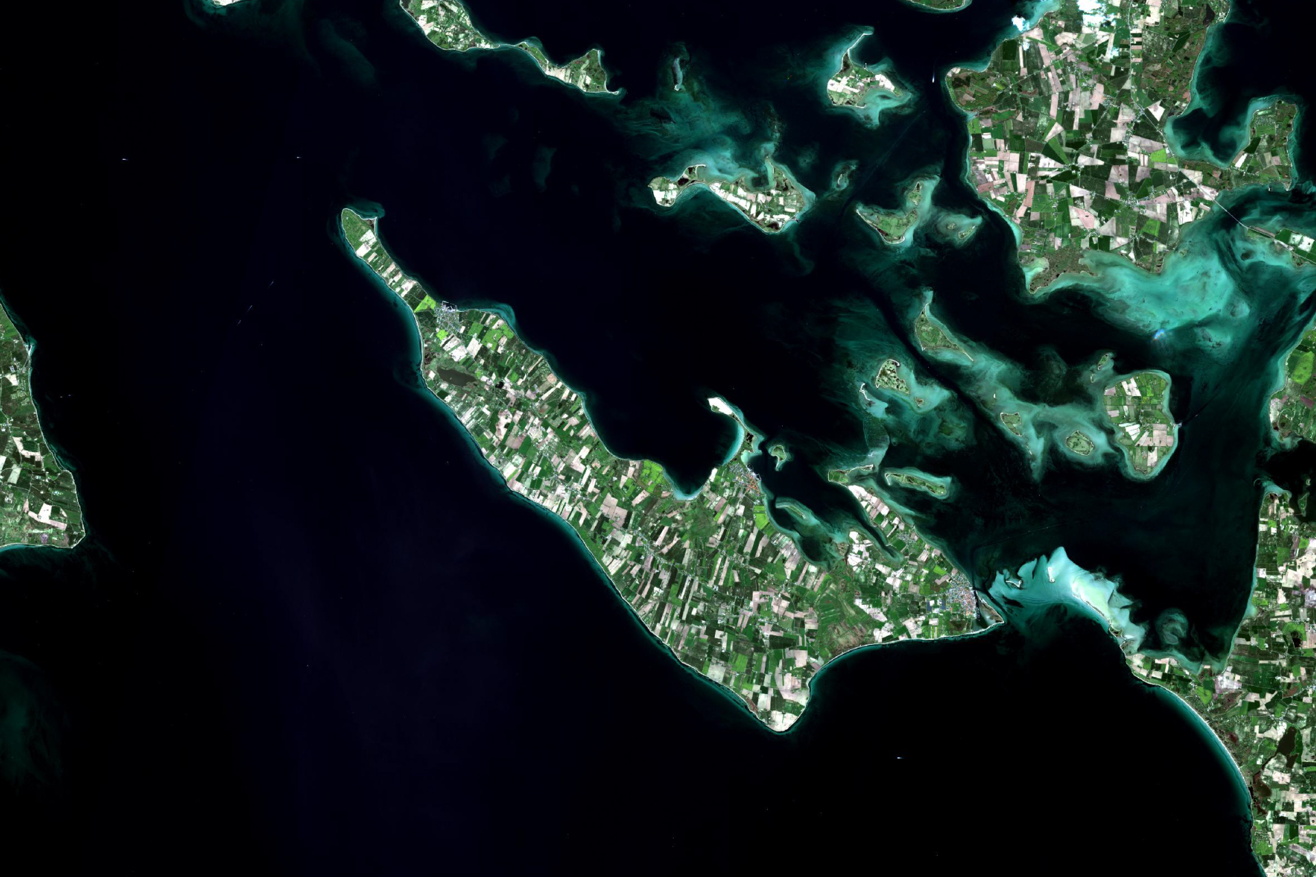
Using satellites to monitor surface water resources to support national water authorities and
Using satellites to monitor surface water resources to support national water authorities and

Locating impervious surfaces for better management of water runoff to prevent flooding, erosion
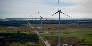
WindSight is all about providing the right input data to lower the error


WindSight is all about providing the right input data to lower the error
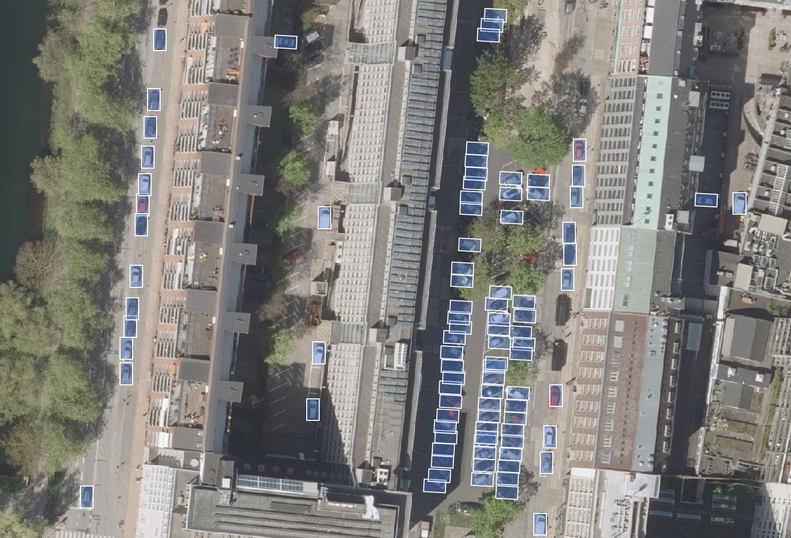
Application of Deep Learning to analyse satellite imagery with improved accuracy . .
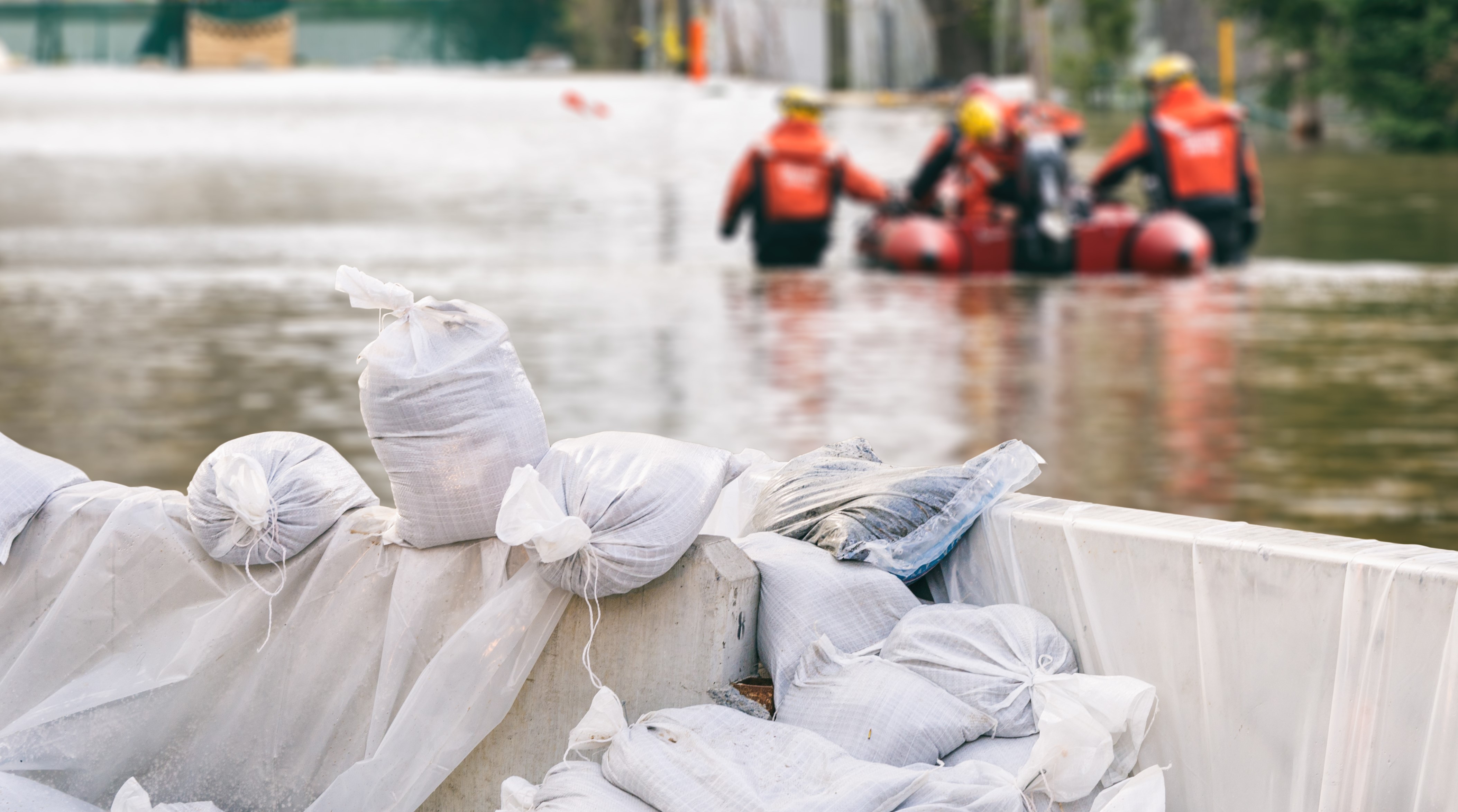
Worldwide high resolution flood risk and hazard mapping using historical and near real
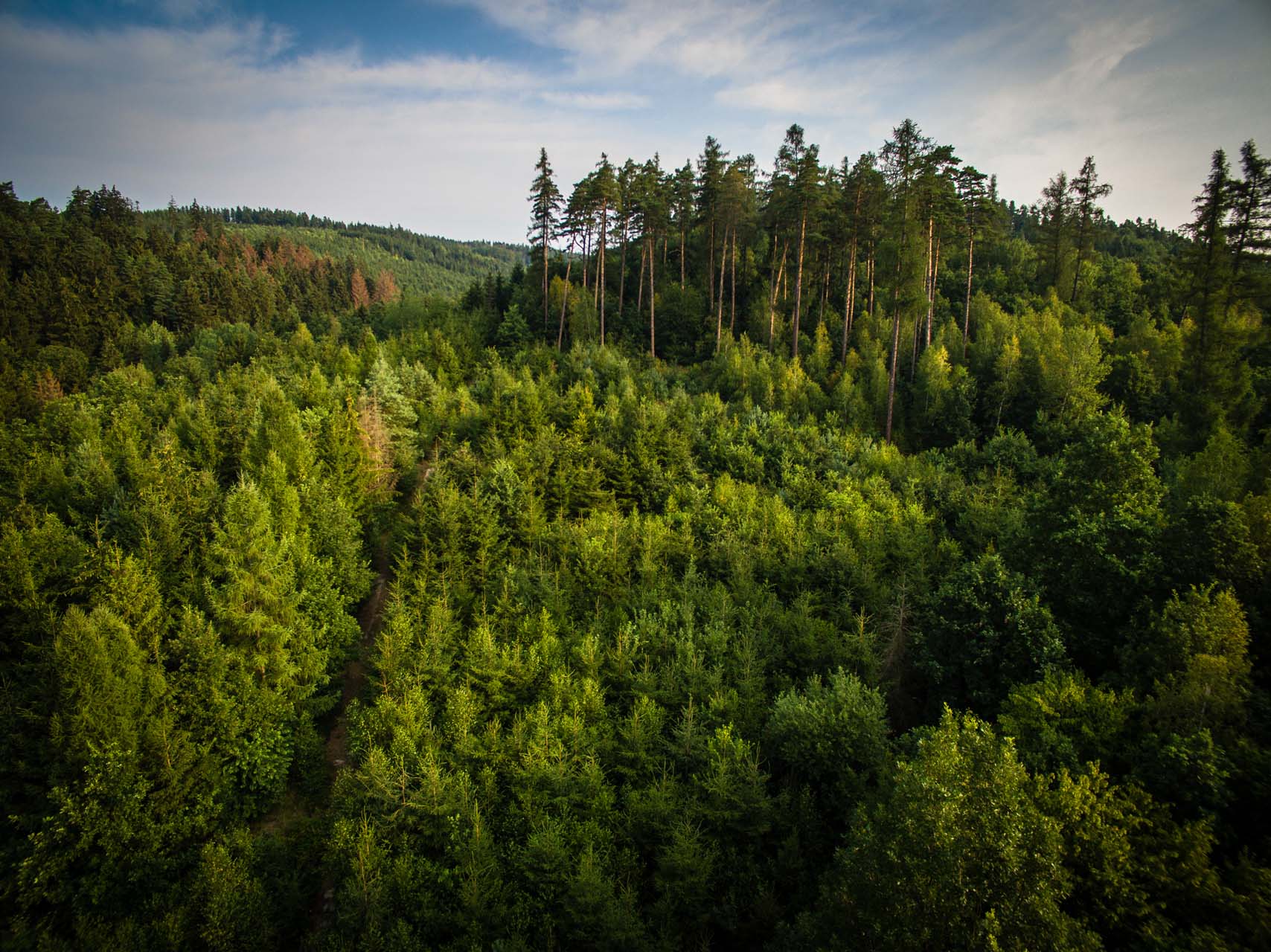
Each year millions of hectares of forests around the world are being degraded
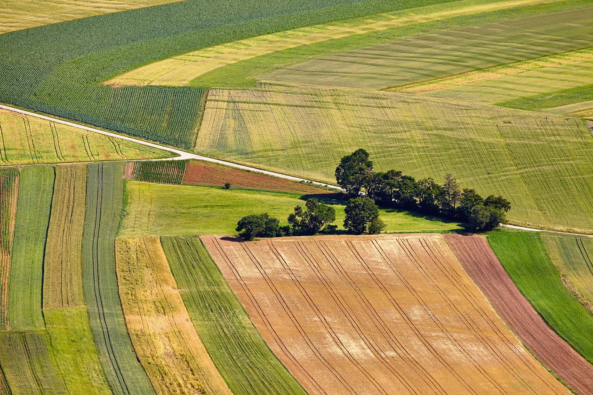
Crop inventory, acreage and growth monitoring is needed for government and national purposes
Satellite-based map layers to document resource assessment is highly valuable source of information
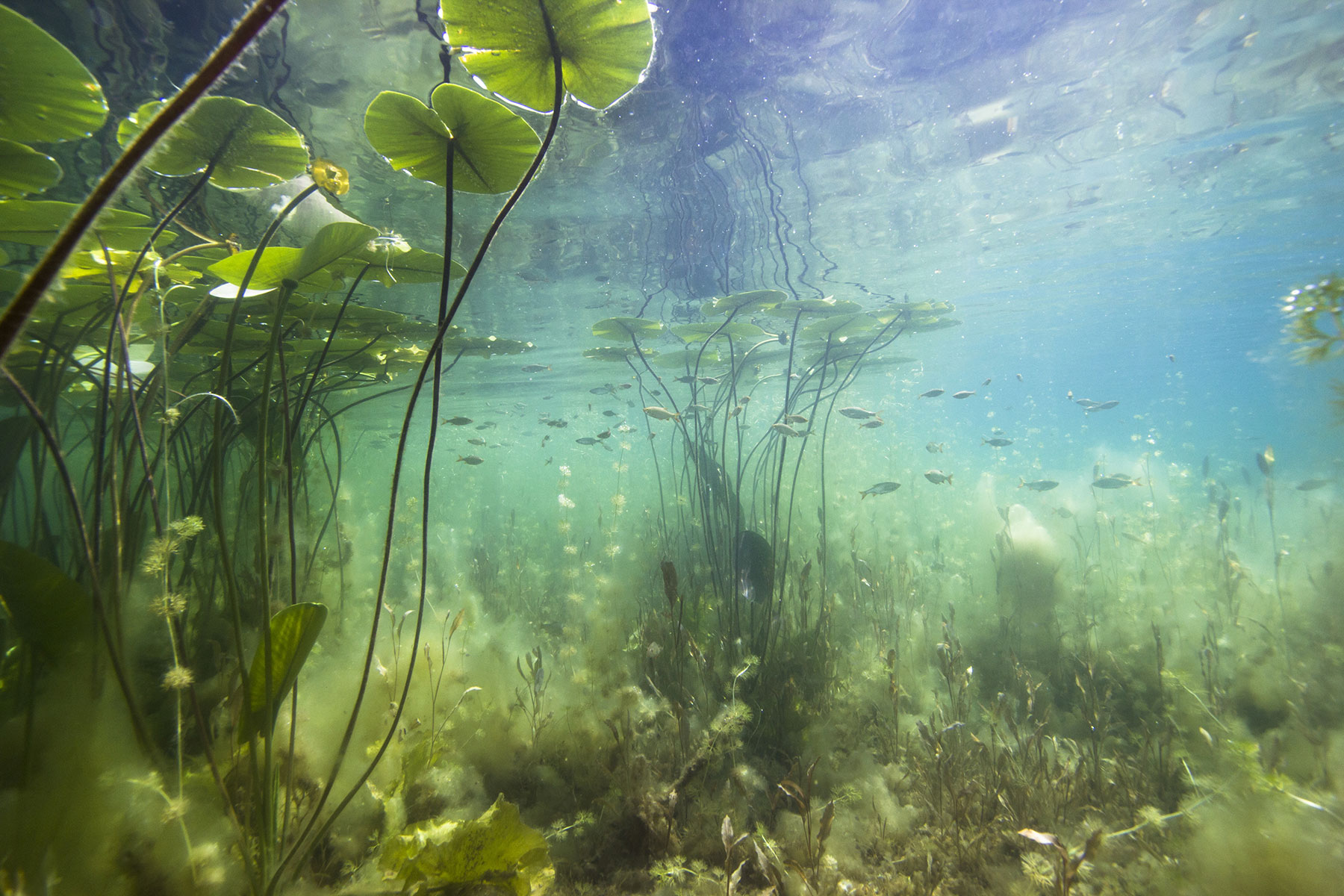
Mapping and measuring water depths from space to monitor constantly changing coastal environments
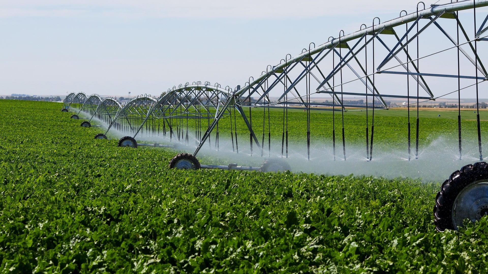
Crop water use derived from Earth Observation data to facilitate increase in water-use
Using satellites to monitor surface water resources to support national water authorities and
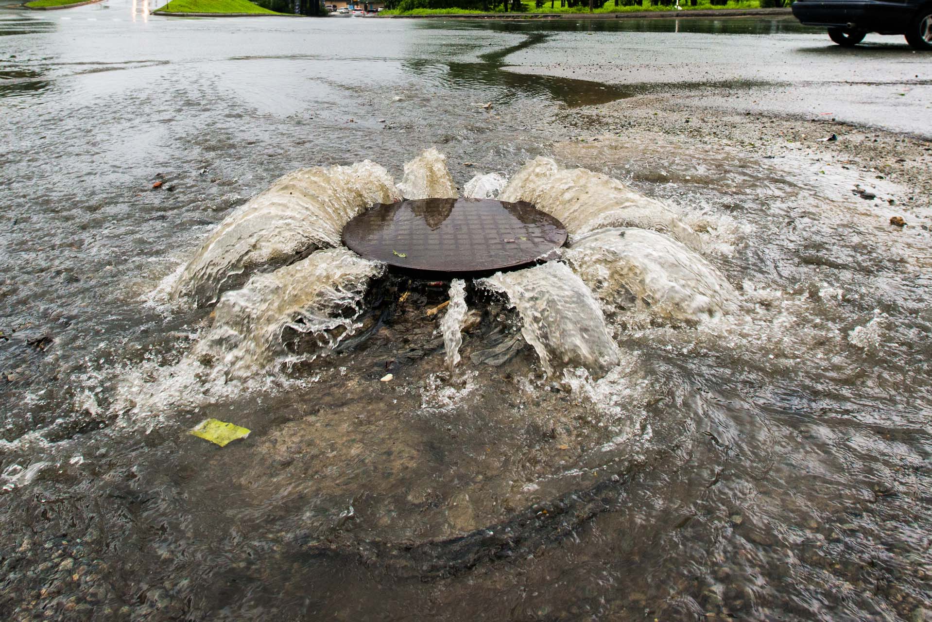
Locating impervious surfaces for better management of water runoff to prevent flooding, erosion

Providing customized training sessions to strengthen Earth Observation (EO) capabilities to help make
Easy access and visualization of data is as important as the actual analysis

Land cover mapping represent perhaps the most common and useful application of satellite

Monitoring sediment load and distribution during dredging and material handling in aquatic environments
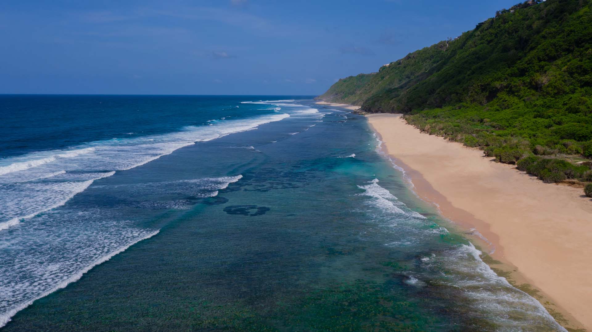
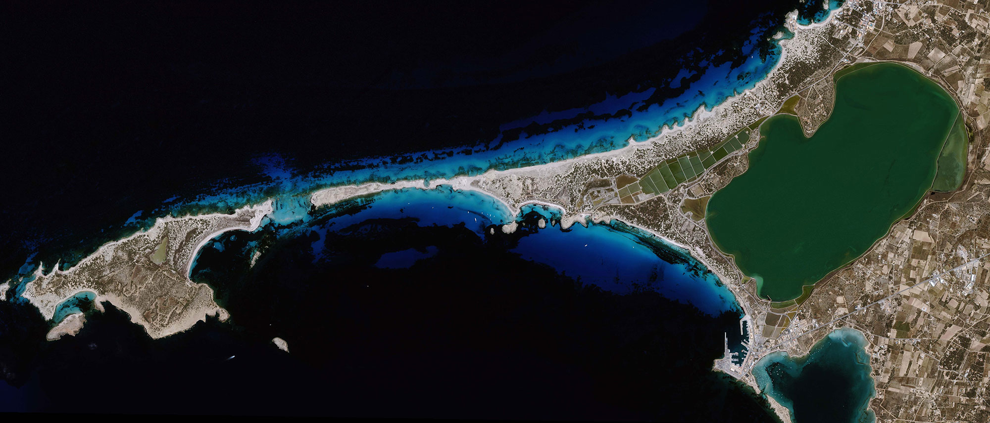
Mapping and monitoring coastal dynamics from space based on historical and recent satellite
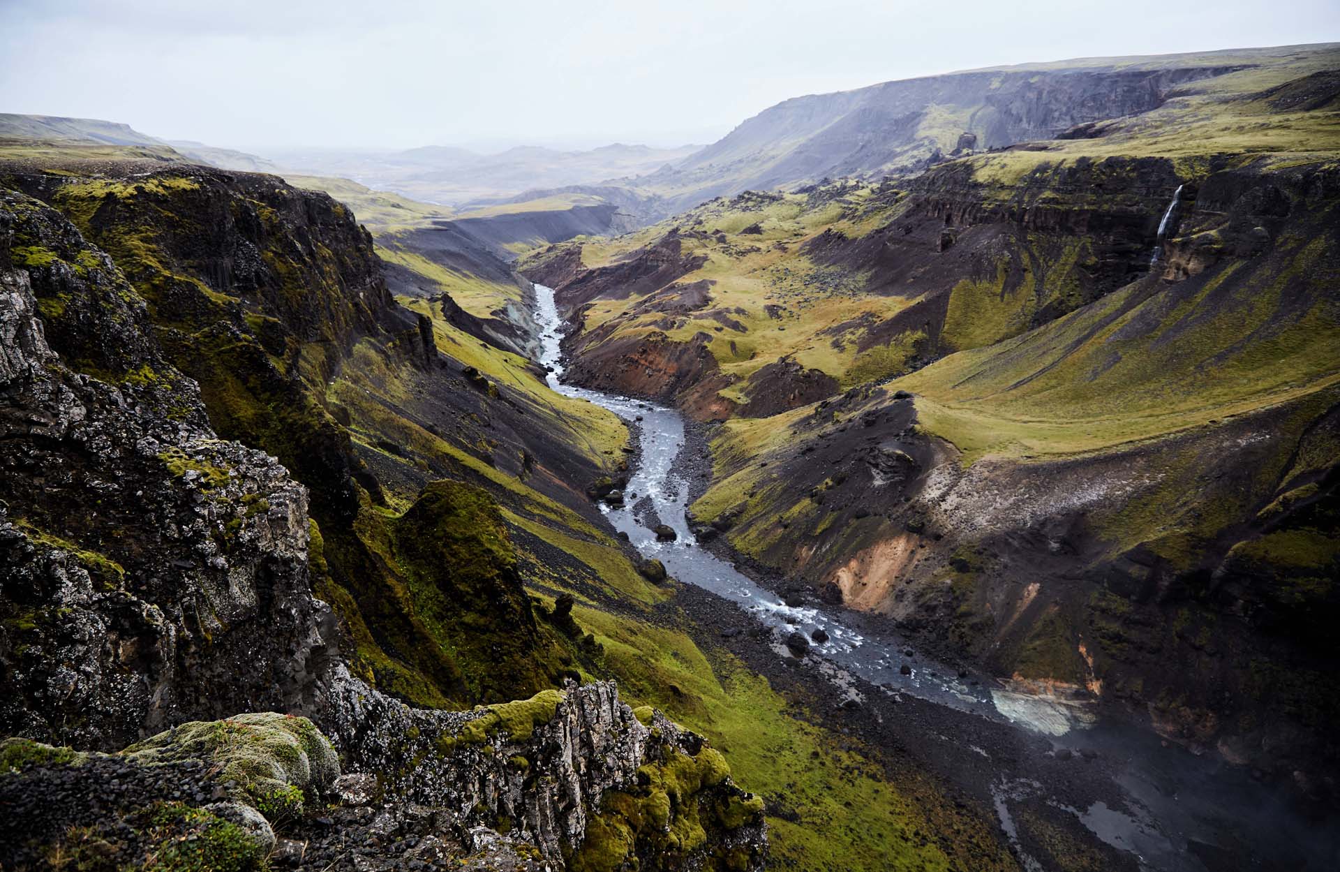
Detailed terrain heights with Earth Observation (EO) data enabling you to understand terrain