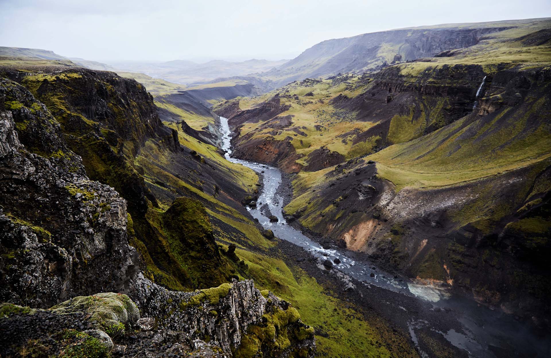
Detailed terrain heights with Earth Observation (EO) data enabling you to understand terrain . . . .

Digital Elevation Model
Detailed terrain heights with Earth Observation data
Why is it important?
A DEM enables you to understand all aspects of the terrain and is an essential input in many geospatial analyses such as topography mapping, hydrological modelling, airspace planning, infrastructure site planning’s and environmental change applications.
An elevation model derived from satellites will overcome challenges related to the insufficient detail level in public available DEM’s such as SRTM, as well as being a more cost-efficient alternative to LiDAR and land surveyor based DEM’s.
How does it work?
A Digital Elevation Model (DEM) is a digital representation of the earth’s terrain heights.
We provide DEM’s created from stereoscopic satellite imagery, which is a highly cost-efficient alternative to traditional land and aerial based surveying approaches. A DEM can be used to derive topographic contours and compute elevation slope, aspect and other topography characteristics used in many geospatial analyseis.
A DEM can be delivered as both a digital surface model (DSM) which includes surface features such as vegetation and man-made structures, as well as a bare-earth representation without above ground objects (DTM) – both options ranging from 50 cm to 30 m in spatial resolution
What you get!
Updated and tailormade Digital Elevation Model (DTM/DSM), delivered in any ready-to-use GIS format
Possible additional data layers such as contour lines, hydrological enhancements, satellite imagery
Our independent and qualified advice on selecting the right solution suited to your project requirements
Typical customers?
Hydrological modelers work with DEM’s for flood modelling
Aerial operators (e.g. UAV and airplane pilots) need accurate terrain heights to safely plan their flight
Wind resource modelers need accurate terrain heights to estimate onshore wind resources
Specifications
Delivery time: Some products are ready to go, others need a bit more processing time
To further enhance the accuracies of the DEM, a few ground control points (GCP) is very often beneficial
We will assist with experience and guidance
Price list
Typical pricing:
1m DEM: 60-90 EUR/sqkm
4m DEM: 30-50 EUR/sqkm
Minimum order size: 100 sqkm
EOatDHI part of the DHI GROUP
gras@dhigroup.com
+45 4516 9100
Agern Alle 5,
2970 Hørsholm,
Denmark
CVR: 36466871
