Each year millions of hectares of forests around the world are being degraded . . . . .
Forest Monitoring
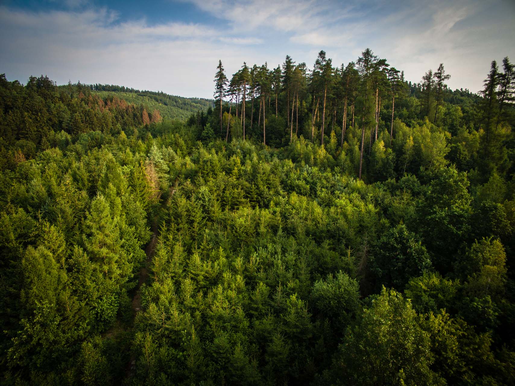
Earth Observation is your gateway to effective forest monitoring
Why is it important?
Forest monitoring with satellite data provide the consistent coverage needed to estimate forest cover area and forest cover changes over large areas.
This information is critical for decision makers and practitioners to take timely actions to protect forests and to promote sustainable forest monitoring and management as each year millions of hectares of forests around the world are being lost or degraded due to deforestation and wildfires.
How can it help?
Accurate forest and land cover maps are needed to assist land use planning initiatives and support sustainable forest resource management. They are a necessity for understanding the impact of human land use and land cover change on hydrological processes and climate change.
Earth observation can provide near real time alert information on forest disturbance which can help mitigate and assess damage from natural events (e.g. forest fires and storm damage) and forest encroachment due to unlicensed mining and agricultural activities.
What you get!
GIS maps to effectively share information about forest cover and land use
Ability to visualize and analyze the location and pace of deforestation
Better understanding of linkages between deforestation and issues such as e.g. forest fires and watershed hydrology
Typical customers?
Specifications
Typically 10 meter resolution
Data can be obtained from anywhere on Earth
Cover large areas instantaneously to complement field data
Go 40 years back in time to estimate long-term forest changes
Monitoring information can be provided on a weekly basis
All weather capacity mapping through clouds and at night with Synthetic Aperture Radar (SAR) data
Data available in a ready to use format for easy incorporation into existing GIS systems and databases
Price list
Contact us for a quote