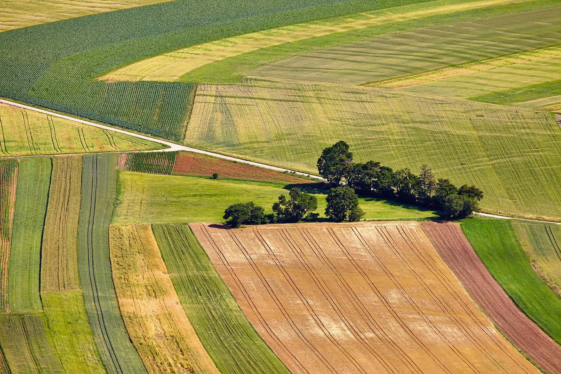
Crop mapping inventory, acreage and growth monitoring is needed for government and national purposes . . .

Crop Mapping Inventory
Crop mapping inventory, acreage and growth monitoring
Why is it important?
Crop mapping inventory is needed for government and national purposes but is also equally important for agri-businesses, farmers and as an input to support subsidies and certification systems.
Valuable information on crop status and growth development can be provided throughout the growing season to monitor crop progress and identify any signs of damage or stress.
How does it work?
Crop mapping refers to the inventory assessments of what is grown on the fields as well as the operational assessment of crop growth during a growing season.
What you get!
Up to date crop area and statistics of the major crop types
In-season operational assessment of crop health and status
Valuable information on crop type and acreage statistics can be provided on annual and semi-annual basis
Typical customers?
Agronomist can use crop inventory as input to models for the further assessment of harvest and yield prediction, soil productivity, or land use intensity
Agencies use crop inventories to monitor and plan growing seasons and for EU regulations on subsidies for crops
Agricultural companies such as fertilizer companies and seed producers can use crop information to better manage supply chains and improve sales
Specifications
Crop classification is benefitting from the recent surge in SAR and optical data availability, coupled with the development of advanced machine-learning classification algorithms.
SAR data provides information relating to structural characteristics of crops, including size, density, orientation and surface roughness, while optical imagery provides data related to leaf pigmentation, cell structure and moisture content.
We use a data fusion approach to crop classification as it offers the highest potential for accurate mapping. We have provided crop type mapping with average accuracies up to 95%.
The main output attribute of the classification will be the predicted crop class for each field parcel in the control zone. As an additional source of information that can help to evaluate class confidence, we will include crop class probability values.
Price list
The production of custom tailored crop inventory is between 1.5 and 2.5 Euro/km2.
For operational crop monitoring please contact us.
EOatDHI part of the DHI GROUP
gras@dhigroup.com
+45 4516 9100
Agern Alle 5,
2970 Hørsholm,
Denmark
CVR: 36466871
