Satellites provide us with a unique overview of our planet. About 5000 satellites are orbiting above us and about 700 of these specifically record earth observation data. As satellites continuously orbit the earth, they enable us to track physical trends, changes, and developments over long periods of time – and in great details. Satellites enable us to derive digital twins or our planet, and document all the change and dynamics on the surface – and this can be used for a wide range of applications.
We use the term spatial resolution to describe the level of detail seen in the images. Generally speaking, a higher spatial resolution enables us to see finer details on the surface. Very High Resolution (VHR) satellite images have a spatial resolution below 2 meters, and the best VHR sensors capture our planet in a 30 centimeter spatial resolution.
Temporal resolution is used to describe how often we are able to acquire a new image from the satellite over the same area. Some satellites will capture images of specific locations each day, some once a week – and some can be tasked specifically to take an image over a given area on a specific time on a specific day. The footprint of a satellite indicates the area of the earth covered by a single image. For some satellites, the footprint is several hundreds of square kilometers, and for some it is only a few square kilometers.
Venice, Italy, July 2018: Copernicus Sentinel 2 image (10 m resolution)
Artist's rendition of the WorldView-3 spacecraft in orbit (image credit: Maxar/DigitalGlobe)
What can we see and detect with VHR imagery?
The image below is taken from Maxar/DigitalGlobe’s Worldview-3, a very high resolution satellite. The spatial resolution is 30 cm, meaning each pixel in the image corresponds to a real world area of 30 cm x 30 cm.
These type of images can be used to identify archaeological markings or make use of the multi spectral bands in combination with artificial intelligence and machine learning to identify the species of trees and provide information about their overall health or estimate the potential yield of an entire orchard. High resolution images are available from commercial providers such as Maxar/DigitalGlobe, Airbus and Planet.
Satellites were once restricted to intelligence agencies and selected researchers.
Today, the developments within the space industry are driving the prices down, enabling the use of satellite images for almost everybody.
Available globally, at all times and at all scales
All places around the globe are equally accessible. Whether you need images of a suburb in Sydney or a forest in Siberia, these can be easily acquired by an imaging satellite.
The wide variety of satellites means you can get the perfect images for your location, time frame and budget.
Easy to get, easy to use
Most providers will let you choose the areas and dates that you need online.
The images come in well-known formats such as GeoTiff or NetCDF, and can be loaded into your favourite GIS program.
Frequently Asked Questions (FAQ) about VHR imagery?
Is VHR satellite imagery expensive? Compared to traditional field surveys and aerial imagery, VHR satellite imagery offers a competitively priced alternative. This is particularly true when larger areas are required to be monitored, where the capacity of satellites to capture hundreds of kilometers in a single image provide significant cost savings.
We offer archived 50 cm imagery from 10 €/km2 and new data acquisitions from 17 €/km2
Is VHR imagery available anywhere in the world? Yes, imagery can be provided for any location on earth.
I need imagery over an area at a specific date and time, is that possible? Yes, satellites acquire images across the planet in regular intervals (some daily, some weekly, …) however they can also be tasked to acquire imagery over a specific AOI at a specific date and time in the future.
Is cloud free conditions required for the satellites to acquire useable imagery? For optical imagery, cloud free conditions are required, however we also provide radar based alternatives (VHR SAR data) which is able to penetrate clouds and provide data regardless of weather conditions.
Can I get access to free sample data? Yes, we can provide free sample data for you to explore and test the data yourself. Fill in the form below and specify your request and we will get back to you as soon as possible.
How do I order imagery? Fill in the form below and specify your area of interest and data needs and we will get back to you as soon as possible with a quote and our advice on preferred data sources that best fits your needs and requirements.
Can you provide me with advise on what data to use? Our vast experience allows us to offer our customers independent and firm advice on which satellite images that would best fit the specific application area.
Through our distribution agreements with almost all commercial satellite operators we make sure the latest news and details are available to our customers.
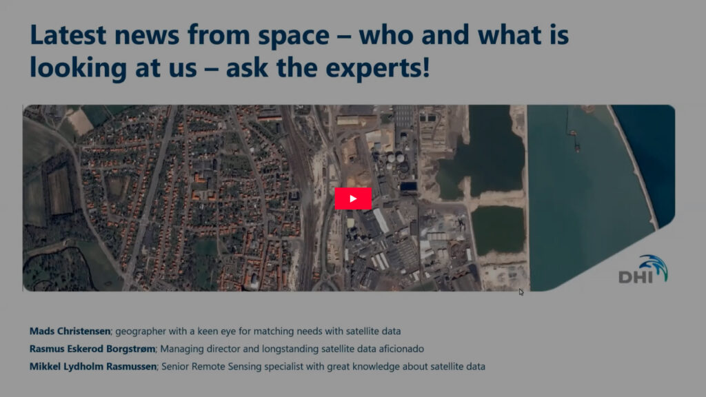
Recording from QA webinar on VHR satellite data - 11 February, 2021
Want to know more about VHR satellite data? Need a quote for imagery? Want to see what’s available for your area? Fill out this form and we’ll get back to you as soon as possible.