
WorldWater – Surface Water Dynamics
Delivering Earth Observation solutions to empower national authorities to monitor inland water resources . . .
Delivering Earth Observation solutions to empower national authorities to monitor inland water resources . . .

Satellite-based evapotranspiration for improved crop water efficiency in Uganda. Using Artificial Intelligence to assess evapotranspiration, saving up to 30% in irrigation consumption

Helping African authorities make the best use of satellite-based information for wetland monitoring

Fulfilling the needs of wind energy industries for improved land-based wind farm planning
Piloting novel geointelligence solutions to quantify and qualify material stocks in urban environments, at scale.

Exploring new avenues to enhance radar satellite-based object detection for Search-and-Rescue operations in the Arctic.

MOOD Decom will deliver high-quality EO-enriched metocean information to support decommissioning activities.

Large scale mapping of submerged rocks, intertidal zones and accurate delineation of coastlines across the Arctic region.

Provision of detailed satellite imagery and digital elevation models covering 85.000 sqkm of

Demonstrating the utility of Sentinel-based evapotranspiration maps for consistent crop water use monitoring, from field to national scales.

Mapping submerged aquatic vegetation in the shallow water areas og the Swedish coast using Copernicus Sentinel-2 imagery.

Delivering novel satellite derived information services on snow and ice dynamics to the Kazakh Space Agency.
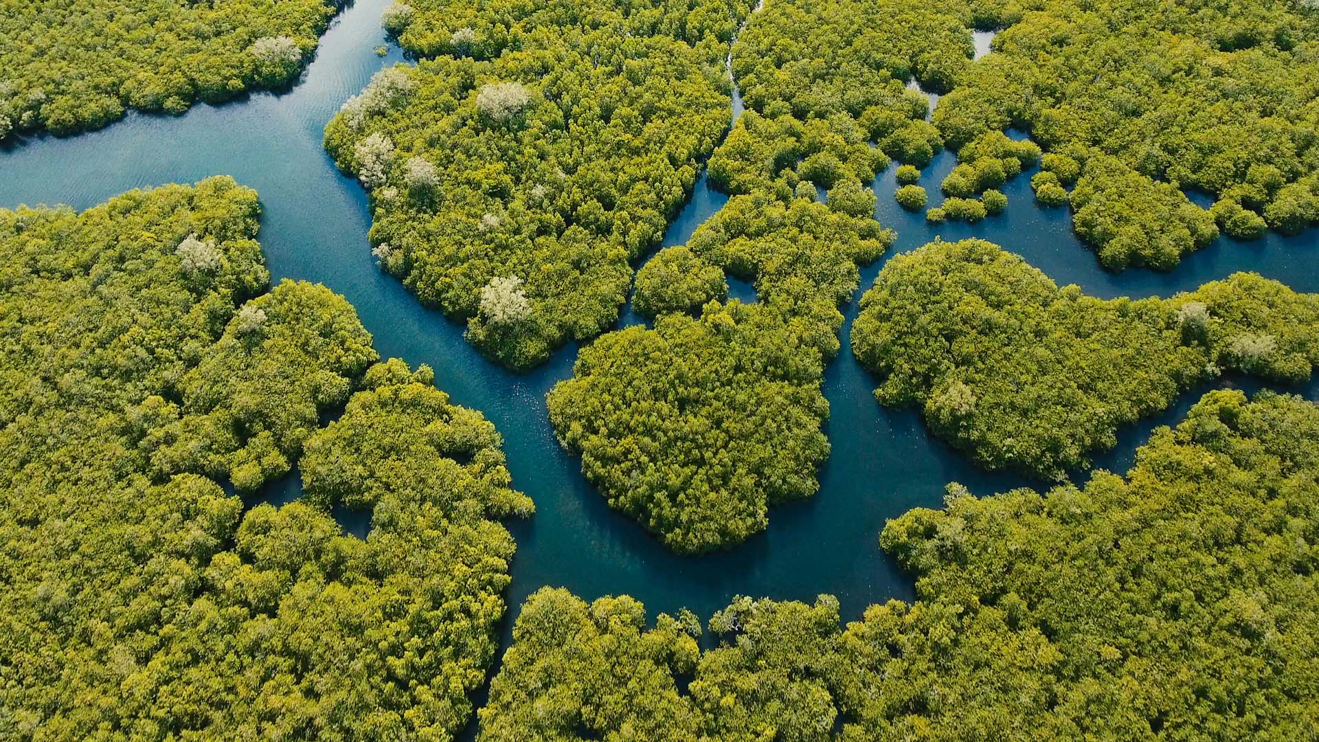
Delivering Earth Observation solutions to empower national authorities to monitor inland water resources . . .

Delivering earth observation enriched high-quality metocean data to enhance fuel efficiency in the shipping industry. . . .

Providing technical support to apply Earth Observation based approaches for synoptic monitoring of changes and dynamics within the coastal zone. . .

Supporting the development of coastal measurements in Copernicus from the Sentinel satellites . . . .

Determining the extent of satellite data from Sentinel 1 and 2 for automating

Monitoring chlorophyll and submerged aquatic vegetation in Danish coastal waters with remote sensing

Using remote sensing to map and characterize the coastal zone within the planned

Exploring service provision opportunities and evaluating payload maturity for HAPS platforms . .
Satellite-based evapotranspiration for improved crop water efficiency in Uganda. Using Artificial Intelligence to assess evapotranspiration, saving up to 30% in irrigation consumption

Providing accurate maps of the coastal zone for safe navigation of ships with

Entire geodata web solutions into one package. From data acquisition to intuitive applications

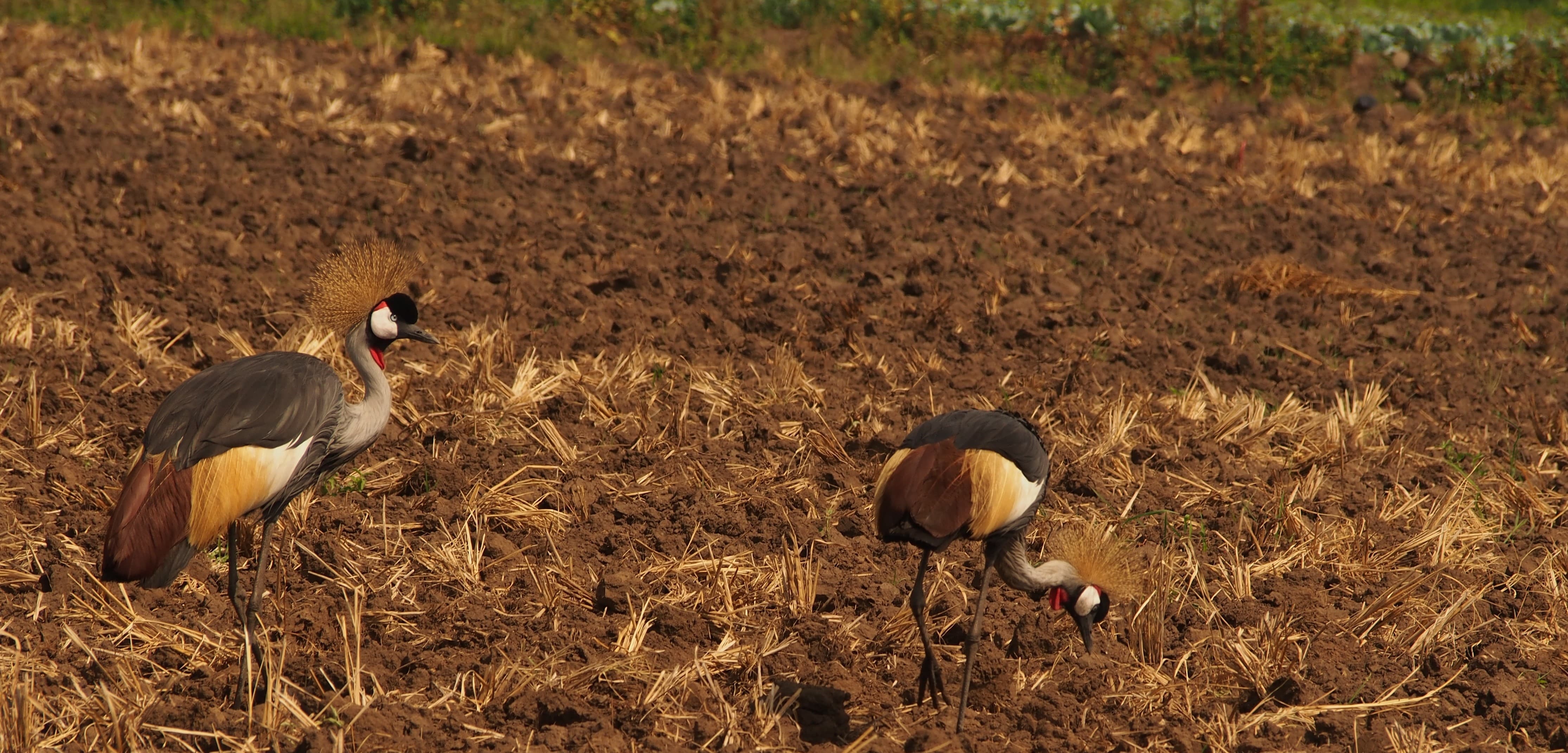
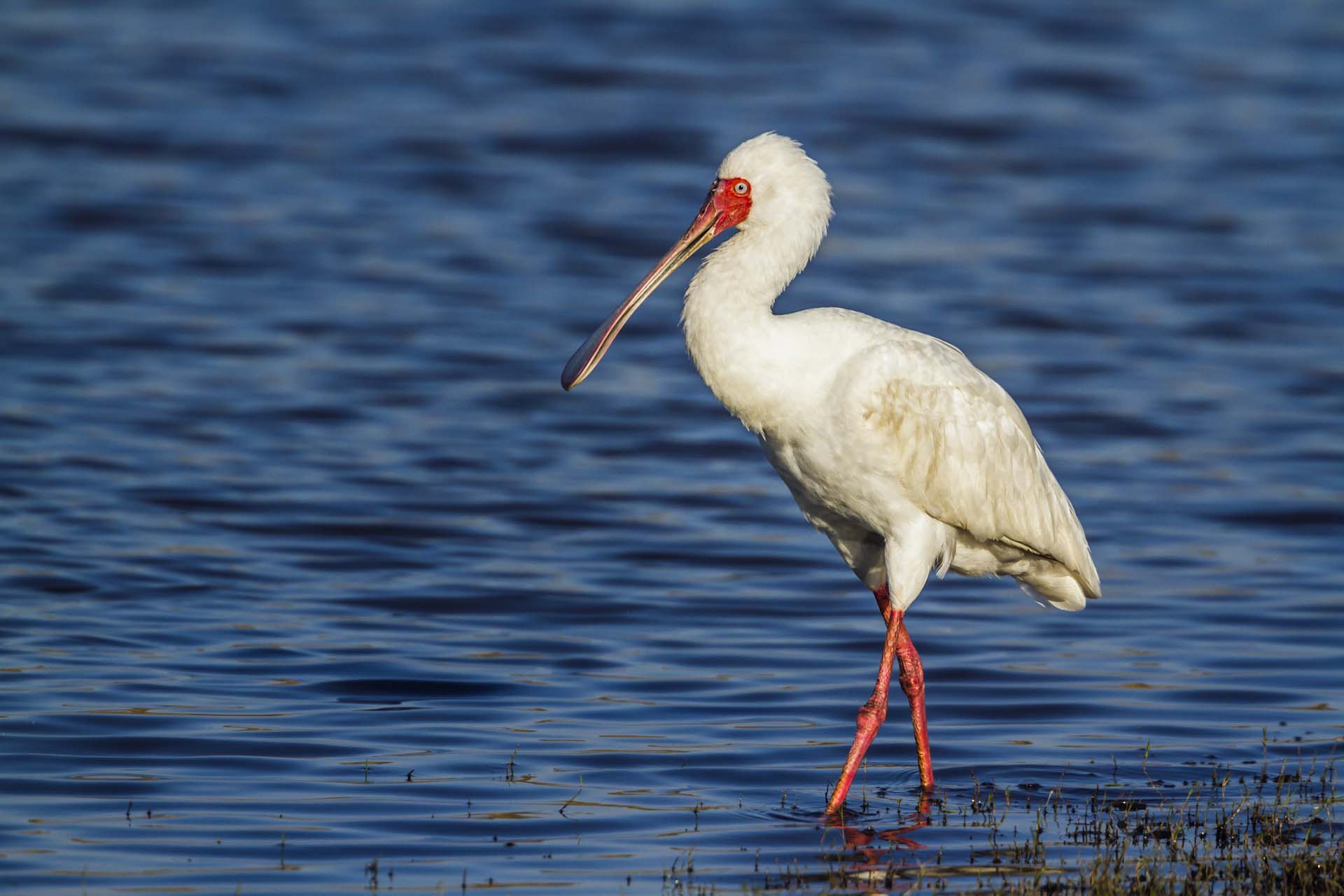
Tracking of national wetland inventory in Uganda. Wetland monitoring provides important insights for

Mapping coastline and coastal zone development and dynamics based on historic and recent

Nonitoring the right data and information is crucial for governments in flood and

Provision of detailed satellite imagery and digital elevation models covering 85.000 sqkm of

Geographical Information System (GIS) consultancy. Helping the technical staff at EEA with dedicated

Earth Observation provides the data for the SDG monitoring framework. Allowing people all

Sea and coast monitoring for the sustainable use of marine resources. Providing a

Satellite-based monitoring of submerged coastal vegetation allows the Danish government to control their

Satellite-based monitoring for national screening of agricultural fields parameters to support the Danish

Screening and mapping of potential development sites to pursue the integration of renewable
Demonstrating the benefits and utility of EO services for water resources monitoring in

Enhances awareness and uptake of EO to support worldwide agricultural monitoring and management

Fulfilling the needs of wind energy industries for improved land-based wind farm planning

Helping African authorities make the best use of satellite-based information for wetland monitoring

Assisting indigenous people in Latin America with monitoring changes in forest areas based


