Digital Ortho Photos of Ice free Greenland from existing Satellite imagery 2020

Why is it important?

Topographic maps of Greenland are generally outdated, and the positional accuracy often inadequate, in the open land outside the main settlement areas.

This means that critical decisions relevant for public administration and environmental regulation are often based on inadequate data and information, thus impeding the ability of authorities to make informed and data driven decisions rooted in the best possible data.

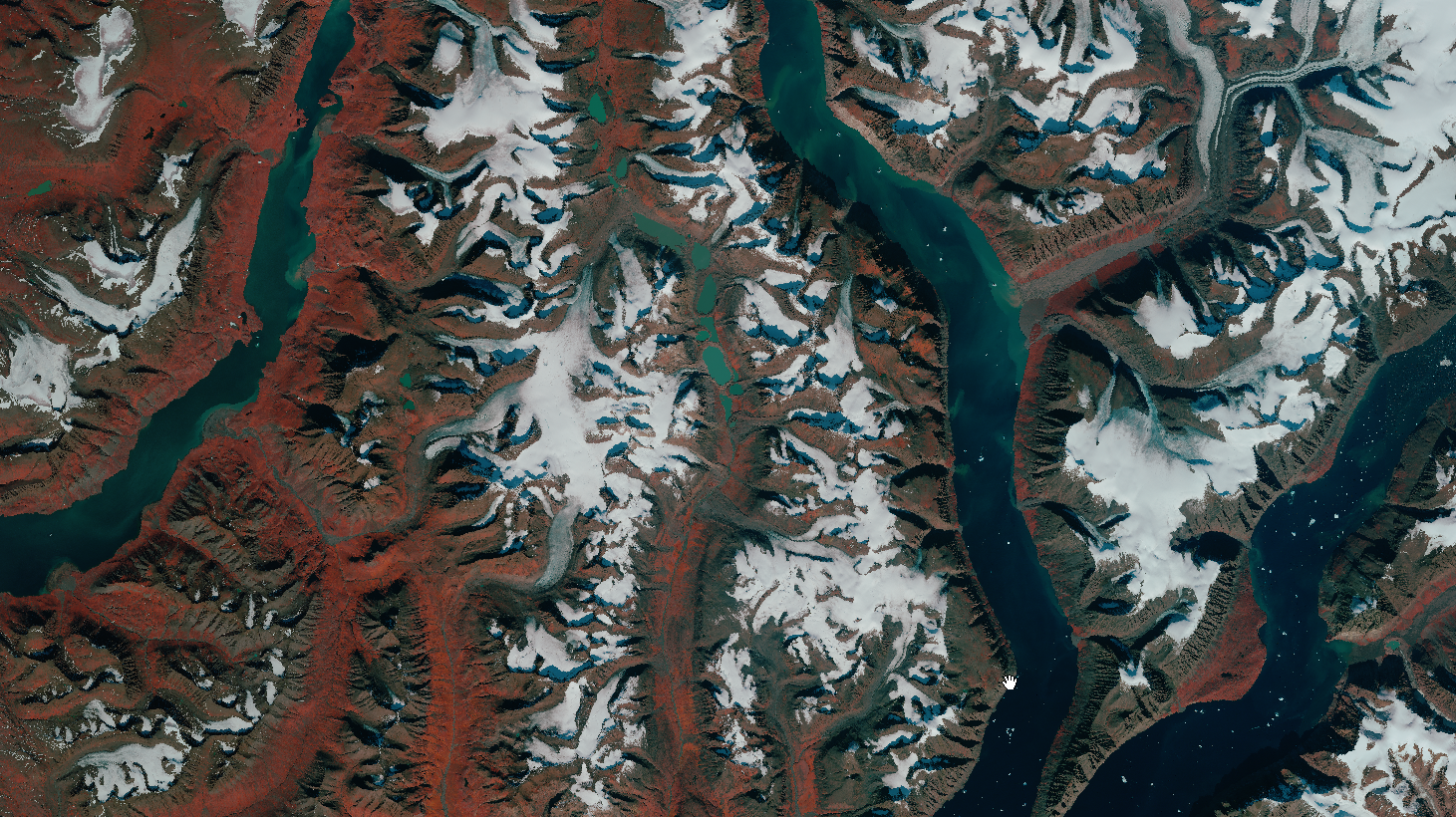
The new up to date orthophoto mosaics based on the latest satellite imagery from the Airbus Spot 6/7 satellites will contribute to address this gap by providing a fresh view of the ice-free areas of Greenland.

Project highlights:

Provision of very high resolution satellite imagery covering 225.000 km2 of Greenland

Advanced large scale data processing to produce seamless cloud-free, orthorectified and color optimized image mosaics covering the entire 225.000 km2.

Independent advice and support on satellite data selection and processing, drawing upon more than 20 years’ experience

In more detail..

Since 2015, DHI GRAS has supported the Danish Agency for Data Supply and Efficiency (SDFE), in close cooperation with Greenland’s Government, in their mission to provide updated topographic maps of the ice-free areas of Greenland.

The current topographic maps of Greenland are based on data collected in the 1930s and 1970-80s and they are inaccurate both in terms of elevation, distance and geolocation. However, Greenland is a large country and combined with the extreme conditions, dark polar winters and frequent cloud cover makes it difficult and costly to map at scale through traditional means.

Through previous pilot projects (undertaken in collaboration with Airbus on behalf of SDFE), we have provided ready-to-use orthomosaics and detailed Digital Elevation Models (DEM) for an area covering 85.000 sqkm of Greenland, successfully demonstrating the viability and potential of satellite imagery as a solution to the existing data gap.

In this project (in collaboration with Airbus) we will deliver updated satellite ortho image mosaics for the majority of the ice-free areas of Greenland – covering an extent of more than 225.000 km2.

These new data, providing a fresh view of Greenland, will underpin efforts to update existing topographic maps, thus contribute to support informed decision making and make it easier and more secure to navigate in the vast Greenlandic nature.

In partnership with

Danish Agency for Data Supply and Efficiency:

The Danish Agency for Data Supply and Effeciency (SDFE) provides high-quality data to the public and private sectors, enabling them to make important community decisions on the best possible basis.

SDFE is an agency that spans broadly across public administration and is part of the Danish Ministry of Climate, Energy and Utilities.

Related items

EOatDHI part of the DHI GROUP

gras@dhigroup.com
+45 4516 9100

Agern Alle 5,
2970 Hørsholm,
Denmark

CVR: 36466871

2020 – The year in review as seen from space

2020 - The year in review as seen from space

21 DECEMBER 2020

As 2020 comes to an end, we reflect on a turbulent year where the world was turned upside down by the covid-19 pandemic, and we take this opportunity to express our deepest sympathy to all those affected. Despite the pandemic, satellites have continued their journey in space - untouched by the travel restrictions and social distancing on the ground - providing critical data and information to underpin key functions in both the public and private sector domains.

Like previous years, 2020 has seen an explosive growth and surge in the use and application of satellite data, and the covid pandemic has in many ways underlined the value of continuing to look to space for data to supplement or replace traditional data sources. This value of space data has been further emphasized for us this year, when we – as the first Danish company specializing in satellite data - won the ‘Gazelle’ business growth award by Børsen (The Danish equivalent of Financial Times). With this award, we end the year 2020 - where we also celebrated our 20-year anniversary - on an upbeat note.

Among our main achievements in 2020, we have:

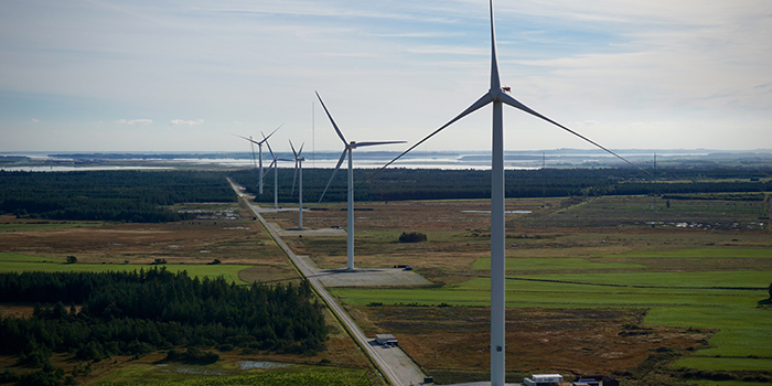
  • launched a product suite ‘WindSight’ , building on the results of Innowind (an Innovation Fund Denmark partnership from 2017-2020 with VESTAS, Vattenfall, EMD and DTU), which includes 5 new high-quality and high-resolution data products to improve, and complement, existing data used in wind models;
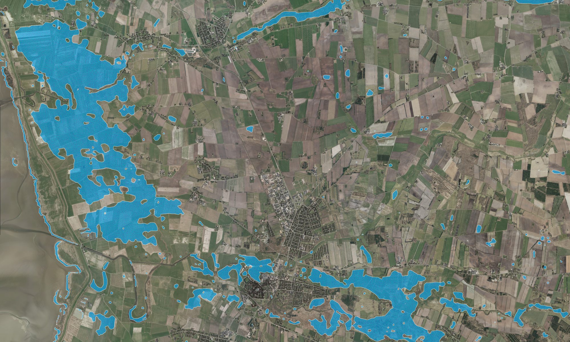
  • launched Flood Metrics, a brand-new all-in-one interface for our state-of-the-art flood monitoring products, providing an easy and transparent platform to search, explore and request our operational flood products;
  • developed and delivered the world’s first high resolution mapping of global wetlands, using new automated methods and Sentinel satellite data. The product has since been integrated into the UN Environment Program sdg661.app, as a key component to support the monitoring of the earth's freshwater-related ecosystems;
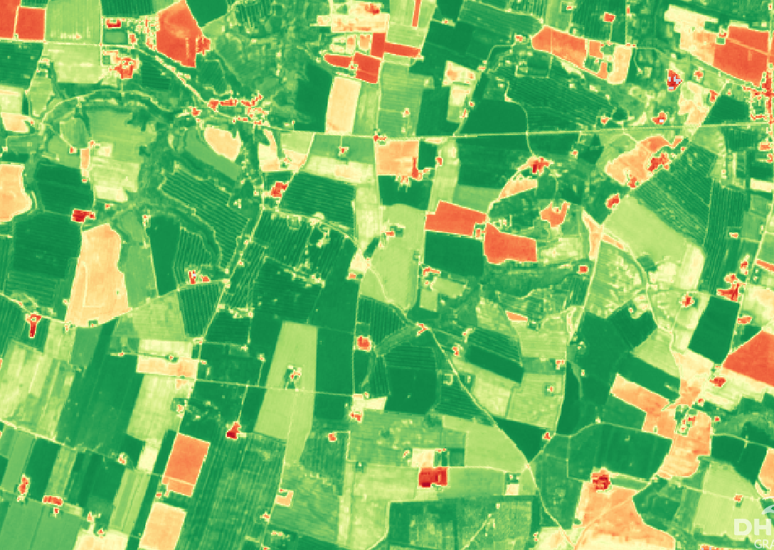
  • continued operationalization and further development of the first nationwide operational agricultural monitoring service, specifically tailored to the monitoring needs of the EU’s CAP policy. The system was successfully implemented by the Danish Agricultural Agency (LBST) last year and 2020 marked the second year where the system has been used to underpin CAP monitoring in Denmark.
  • continued to explore new avenues of coupled EO and deep learning approaches for systematic and scalable change detection solutions and updating of national, regional and global data sets.
We thank all our clients, partners and collaborators for another great year in DHI GRAS and we look forward to continue our journey in 2021, where we will continue to push the boundaries of earth observation solutions to satisfy a growing global market.

A Gazelle observed from space – DHI GRAS awarded business growth award from Børsen

A Gazelle observed from space – DHI GRAS awarded business growth award from Børsen

23 OCTOBER 2020

We are proud to announce that DHI GRAS has received Børsen’s Gazelle prize 2020, in recognition of our continuous growth and development.

Each year, since 1995, Børsen has identified Denmark’s growth elite, and over time the gazelle has become part of the Danish language as a synonym for growth businesses. In short, a Gazelle is a business which has ’achieved a continuous growth in revenue for the last four financial years, and which has, in total, more than doubled the revenue in the period’.

First and foremost, the Gazelle prize reflects the dedicated efforts and hard work of our growing team, whose commitment to innovation and excellence defines our achievements of success. It is through their curiosity, creativity, and willingness to challenge status quo that we continuously transcend the limits of space data, by creating new products and services that creates real and positive impact on the ground.

However, our sustained growth is also a testimony to the maturity and value of the space sector and earth observation, which from its infancy, in the early days of DHI GRAS, 20 years ago, has developed from a niche to a mainstream technology. This transformation is not least facilitated through the deployment of increasingly more satellites in recent years, which has made earth observation data more accessible, affordable, and more usable than ever before. This foundation will only grow bigger, and so will the relevance and opportunities provided by the space sector and downstream service providers, such as DHI GRAS.

As a new Gazelle, DHI GRAS is experiencing a surge in our activities. New innovative products are created, new partnerships have been formed and new customers gained. We are excited about the future of DHI GRAS and have already set our target towards next year’s Gazelle award. We are ready to continue to drive change and innovation in earth observation!

Winning the Gazelle price is a tangible evidence of the growth and success of DHI GRAS - and we are extremely delighted to receive this award. It’s a testimony to the fact that the work we do creates real value and positive impact for our customers and clients. However, it goes without saying, that no company can grow in the long run without energized and passionate employees who believes in the mission and understand how to achieve it. So, while this award is an indicator of our financial growth, it’s a manifestation of the collective efforts of our fantastic team and I am very excited to share this award with them.
Rasmus Borgstrøm
Managing Director

Our beautiful planet as seen from space – how satellites help monitor earth’s vital signs

Our beautiful planet as seen from space - how satellites help monitor earth's vital signs

15 SEPTEMBER 2020

From natural disasters to a global pandemic, 2020 has been marked in history as a year of global extremes.

Let’s take a moment to distance ourselves from negative news and showcase the beauty and diversity of our planet, as seen from space.

‘Day-and-night, the entirety of our planet is surveyed by an ever-increasing number of Earth observation satellites that capture the astonishing beauty and dynamics of our planet. In DHI GRAS we get to appreciate this beauty daily, and today we want to share our world with you.

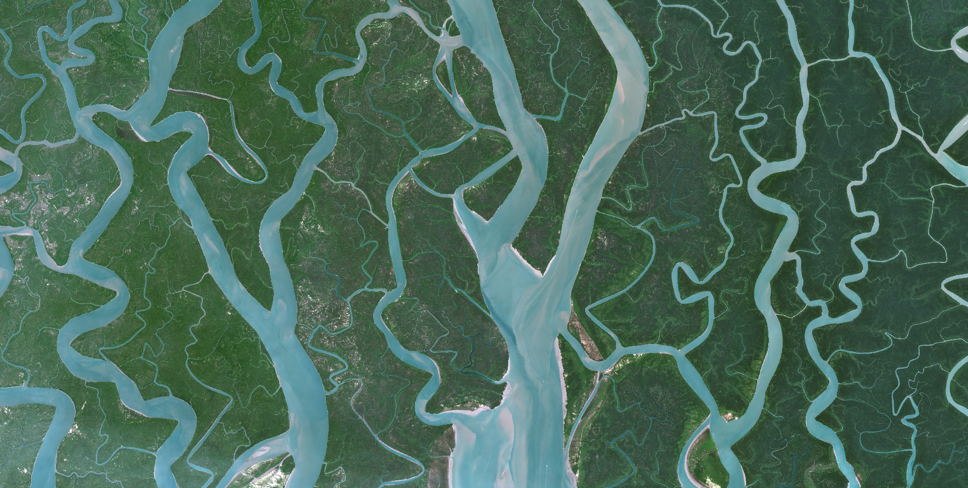
A satellite image is worth a thousand words. While the images below show the magnificence of our planet, they also contain critical data that can be used to synoptically map and monitor it's pulse.

A growing variety of sensor types and capabilities, as well as novel analytics tools and data processing techniques, have propelled satellite-based Earth observation into a new era.

The images below contains modified Copernicus Sentinel data [2020] Image credits European Space Agency - ESA

Earth observation – the new frontier in coastal resilience planning

Earth observation - the new frontier in coastal resilience planning

06 AUGUST 2020

Healthy oceans and well-managed coastlines are key in ensuring that island and coastal communities are resilient to climate change impacts.

For agile and spatially-distributed response, data about changes, trends and environmental status in coastal areas is critical. However, comprehensive assessments of coastal zones are costly, complex and cumbersome to carry out.

Now you can take advantage of the latest satellite technology and machine learning algorithms to meet your monitoring needs – at a low cost.

To support coastal resilience planning, we provide:

✔️Up-to-date data on coastline positions & assessments of erosion/accretion over time (Click here to learn more about our coastline mapping solution)

✔️Mapping & monitoring of the dynamics of submerged aquatic vegetation (Click here to learn more about our submerged aquatic vegetation solution)

✔️Mapping of land cover/land use in high spatiotemporal resolution (Click here to learn more about our land cover mapping solution)

✔️Near real-time mapping of flood extent & frequency (Click here to learn more about Flood Metrics)

✔️Near real-time monitoring of water quality & suspended sediment (Click here to learn more about our water quality solution)

✔️Up-to-date bathymetry in shallow waters in resolutions from 2-30 m (Click here to learn more about our satellite-derived bathymetry solution)

✔️The latest Very High Resolution (VHR) satellite imagery covering your project area (Click here to learn more about satellite imagery and acquisition prices)

EOatDHI part of the DHI GROUP

gras@dhigroup.com
+45 4516 9100

Agern Alle 5,
2970 Hørsholm,
Denmark

CVR: 36466871
Releasing Flood Metrics – High-quality and cost-efficient information for your flood monitoring needs

Flood Metrics - Introducing our new all-in-one interface for our satellite-based flood monitoring products:

20 July 2020

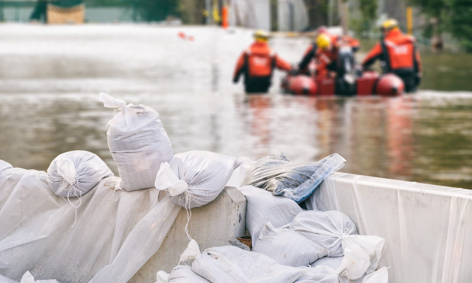
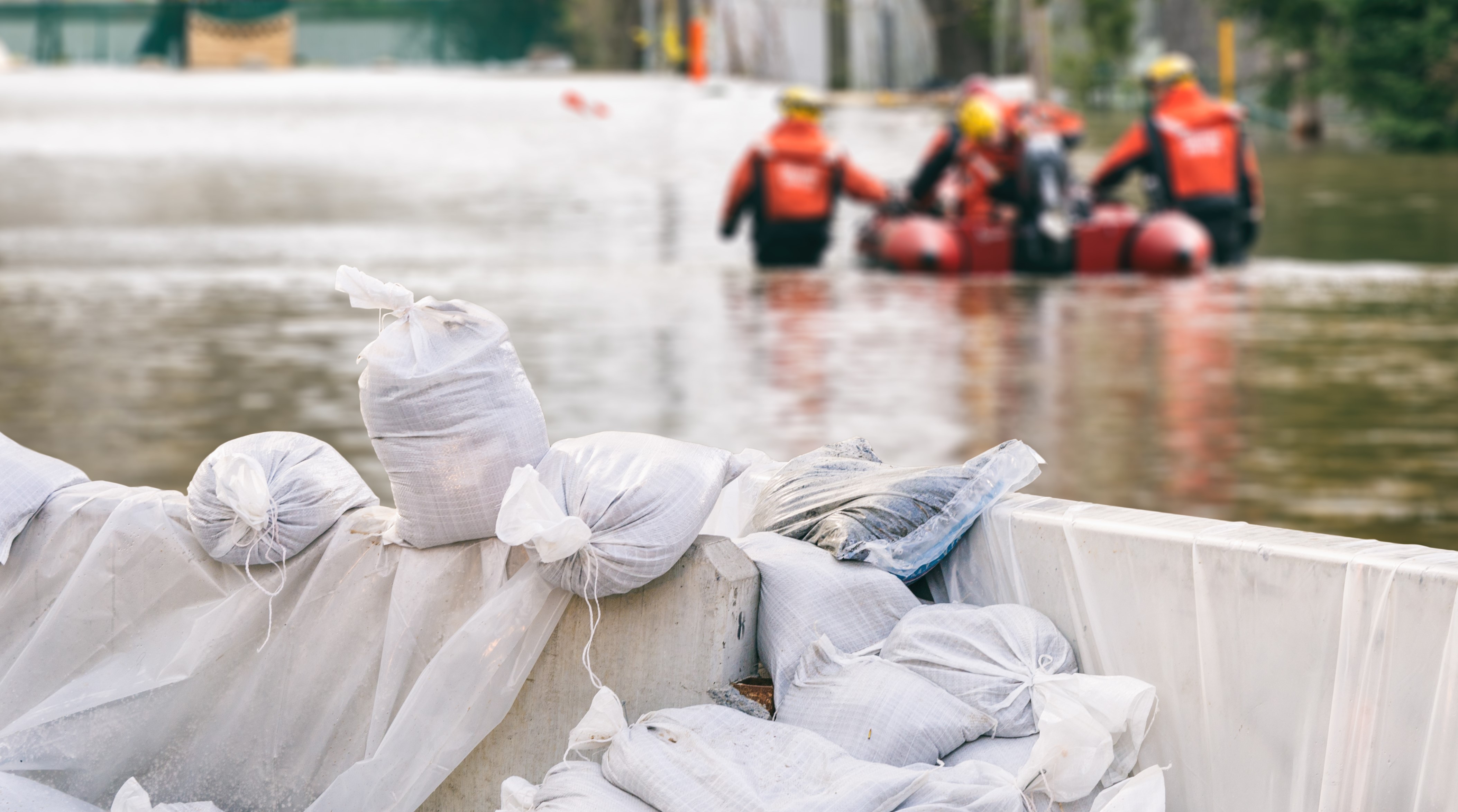
Flooding’s are one of the most common and devastating types of natural disasters – causing significant social, economic and environmental consequences. The impacts of these events are often exacerbated by lacking data and information to support informed emergency response and flood protection measures.

New satellite data, novel image processing methods and state-of-art machine learning algorithms have propelled satellite-based flood mapping into a new era, providing a time-critical resource to address this data gap, as a fast, efficient and accurate tool for mapping water on terrain and flooded areas.

Our novel image processing methods, advanced machine learning algorithms and automated processing workflows of best in class satellite imagery has fueled a new generation of low-cost operational flood monitoring products to provide timely, accurate and reliable data on flooding events.

Our new Flood Metrics portal provides an all-in-one interface to this state-of-the-art product line, allowing users to search, explore and receive instant price ranges for 3 different products (Flood extent, Digital Elevation Models and Flood frequency).

Visit floodmetrics.dhigroup.com/home for more information or click the button below to access Flood Metrics directly.

EOatDHI part of the DHI GROUP

gras@dhigroup.com
+45 4516 9100

Agern Alle 5,
2970 Hørsholm,
Denmark

CVR: 36466871

WindSight – input for wind resource assessments

Why is it important?

Accurate estimations of wind energy resources are highly complex and time consuming - ultimately relying on consistent, accurate and timely input data. Yet, in many cases such data is inaccessible or simply not available and this may impact the ability of wind modelers to accurately assess wind resources.

How can it help?

The WindSight data package provides a new generation of satellite-based information products to improve wind resource assessments.

WindSight includes 5 different high-quality and high-resolution data products on land cover, key forest characteristics, historical and future changes, topography and surface roughness. The core of the product suite includes the novel forest products which provide detailed inside on current and historical forest height and forest density, in grid sizes of 20 meters. Together with an improved 10 meter land cover product, these provide the backbone of the surface roughness product that provides accurate insight on roughness length - directly compatible as input for a wide range of software and modelling methods including WindPRO, WaSP and CFD tools.

What you get!

5 different high-quality and high-resolution data products – tailored for wind sites anywhere in the World.

Analysis ready data compatible with WindPRO, WAsP, CFD tools and standard GIS software.

Accurate, timely and low cost information on forest height and forest density, replacing the needs for most LIDAR campaigns.

Typical customers?

Wind energy developers use the data products for preliminary screening of wind site suitability for planning and prospecting. 

Wind modellers use the advanced surface roughness data products in flow models, for improved accuracy of wind resource assessments. Testing at 10+ global wind energy sites has shown an improved accuracy of the modelled Annual Energy Production (AEP).

Specifications

Typically 10 meter resolution

Data can be obtained for any onshore wind site in the world

Cover large areas instantaneously to complement field data

Go 40 years back in time to estimate long-term forest changes

Monitoring information can be provided on a weekly basis

Data available in a ready to use format for easy incorporation into existing GIS systems and databases

Price list

Contact us for a quote

Visit us at our WindSight product page:

EOatDHI part of the DHI GROUP

gras@dhigroup.com
+45 4516 9100

Agern Alle 5,
2970 Hørsholm,
Denmark

CVR: 36466871

Novel satellite-based solutions to underpin irrigation management

Monitoring evapotranspiration from space

14 July 2020

Water scarcity challenges, extreme drought and increasing competition for water are frequently featured in news headlines – a testimony to, and constant reminder of, the urgency of addressing global water issues. This urgency is further recalled by the United Nations through the adoption of the sustainable development framework in 2015, which includes a dedicated goal (SDG # 6) on water issues.

Tools to underpin optimisation of water use productivity are thus instrumental in order to secure sustainable water resource management and ultimately achieve SDG 6. DHI’s satellite-based methodology to derive reliable and timely evapotranspiration estimations at field level provides a vital instrument to support informed decision making of critical water resources. Our novel tool delivers essential information to support water use efficiency within several domains, including irrigation management, by providing an indication of areas where crops experience water stress, as well as water licensing schemes by providing a cost-effective and efficient means to do water accounting.

As a primary outcome of the development efforts conducted through the European Space Agency funded project Sen-ET, we are further evolving our evapotranspiration and crop water needs products into robust applications for water resource management. In a new EU funded project ‘NextLand’ we are exploring new innovative and operational services to strengthen the entire value chain of the agricultural and forestry sector. Through ET4FAO, funded by the @European Space Agency, we are demonstrating the use of our evapotranspiration tool to provide a robust and operational monitoring solution of agricultural water use at continental, national and local levels.

Concurrent to the implementation of Nextland and ET4FAO, we are exploring a number of commercial partnerships with major information providers to the agricultural industry as well as leading irrigation equipment producers.

EOatDHI part of the DHI GROUP

gras@dhigroup.com
+45 4516 9100

Agern Alle 5,
2970 Hørsholm,
Denmark

CVR: 36466871

Flood Risk and Hazard Mapping

flood risk and hazard mapping

Why is it important?

Flood risk and hazard mapping is important for efficient flood risk management. The flood maps are used to prevent flood damages, for land use planning and rescue operations.

How can it help?

With satellite imagery it is possible to map the extent of an area that has been subject to either a flood or hazard, and assess the damage, getting a full overview of where aid is needed the most.

What you get!

Assess the amount of flooding in near real time by triggering satellites to map flooded areas. The flood hazard map can be acquired a few hours after flooding has occurred and delivered in less than 24-48 hours globally (different solutions apply)

Prevent or limit floods from happening again by mapping historical flood hazards to understand the risks and take mitigating actions based on time series of satellite imagery​

Using high-quality Digital Terrain Models suitable for assessing flood depth coupled with enhancement of Digital Elevation Models through advanced image analysis (feature extraction)

flood risk and hazard mapping

Typical customers?

Urban planners to manage and understand the flood risks in urban planning zones

Civil security agencies to asses the potential severity and frequency of flood losses in emergency situations

NGOs and governments to map, plan and analyse flood risk problems from local to national scales

Specifications

Satellites and our services are global

Get these type of maps daily depending on the overpass schedule of the different satellites

Get information about historical floodings depending on availability of archived imagery

The raw satellite image is typically available within hours after the image acquisition (time needed for analysis and production of maps can vary from a few hours to days depending on size of area)

Price list

Let us know in advance where and when you expect a flooding to occur and contact us for a quote!

Visit us at our flood data portal:

EOatDHI part of the DHI GROUP

gras@dhigroup.com
+45 4516 9100

Agern Alle 5,
2970 Hørsholm,
Denmark

CVR: 36466871

Satellite-derived bathymetry for nautical navigation

Satellite-derived bathymetry

The challenge:

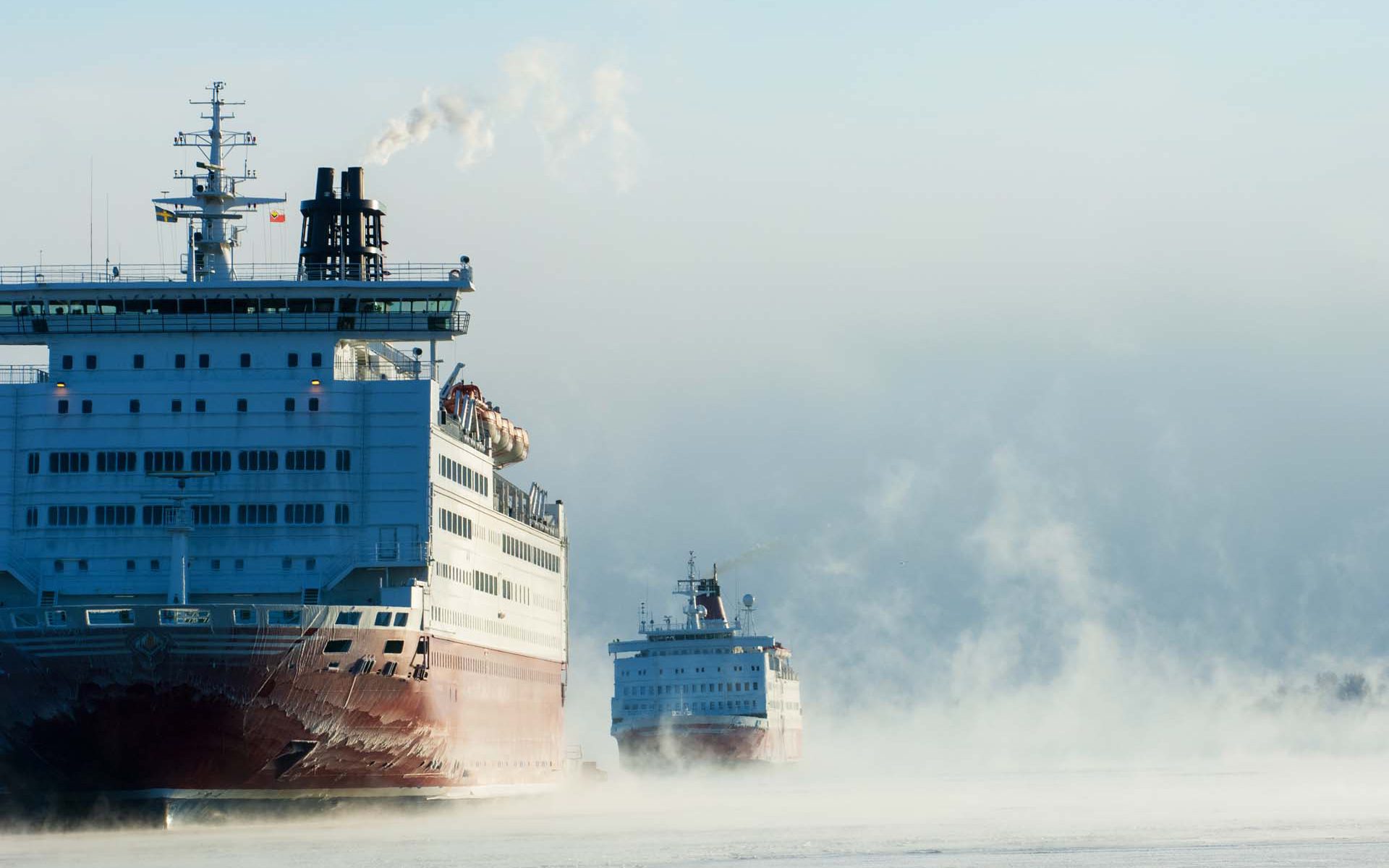
Greenland Pilot Service provides navigational safety services in the Arctic region and their strategy is to contribute to a safe development of the cruise industry in polar regions.

They embark experienced and licensed Polar Code Compliant Pilots on board the cruise vessels. The Pilots contribute with local knowledge and experience, to strengthen the bridge team, ensuring a safe and effective operation.

The 24/7 manned operations center in Nuuk carries out all mandatory Risk Assessments, and continuously updates the pilots with daily information on weather and ice.

To be able to operate safely and ensure best practice, they needed updated information about coastlines and submerged hazards in the poorly charted shallow coastal area around Skjoldungen, Greenland.

Project highlights:

Updated and accurate mapping of coastlines including at high and low tide

Location and size of submerged hazards mapped with clear depiction of small and large submerged hazards

Updated spatial information ensuring safe transport of vessels, ideal for large and remote areas

Project Manager,
Thomas Bøggild

With the help of satellite-derived bathymetry from DHI GRAS we were able to make a proper navigational risk assessment enabling our clients to safely access the remote and poorly charted waters around Skjoldungen. DHI GRAS did a great job in helping us understand the value of the data and delivery was fast and on time

In more detail..

We were commissioned by the client to provide them with accurately mapped coastlines at both low and high tide, as well as identify submerged hazards, such as reefs, rocks and sand banks.

Sentinel images provided the raw data, which were then analysed and validated. The information derived from satellites is much more accurate than existing nautical charts in the Arctic and allowed Greenland Pilot Services to safely enter the waters around Skjoldungen.

A pilotage company specialised in assisting masters and navigators in their operations in Polar regions.

They carry out mandatory risk assessments and contingency planning according to relevant laws and regulations as well as voyage planning while ensuring compliance with the Polar Code.

EOatDHI part of the DHI GROUP

gras@dhigroup.com
+45 4516 9100

Agern Alle 5,
2970 Hørsholm,
Denmark

CVR: 36466871