WindSight is all about providing the right input data to lower the error of the wind resource estimations. . . . . .

WindSight
First class input data for wind models to ensure optimal wind resource estimations
Why is it important?
Accurate estimations of wind energy resources are highly complex and time consuming - ultimately relying on consistent, accurate and timely input data. Yet, in many cases such data is inaccessible or simply not available and this may impact the ability of wind modelers to accurately assess wind resources.
How can it help?
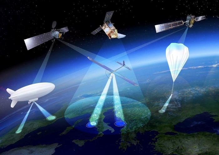
The WindSight data package provides a new generation of satellite-based information products to improve wind resource assessments.
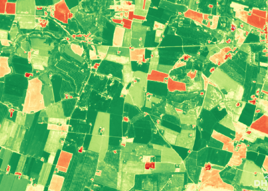
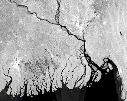
WindSight includes 5 different high-quality and high-resolution data products on land cover, key forest characteristics, historical and future changes, topography and surface roughness. The core of the product suite includes the novel forest products which provide detailed inside on current and historical forest height and forest density, in grid sizes of 20 meters. Together with an improved 10 meter land cover product, these provide the backbone of the surface roughness product that provides accurate insight on roughness length - directly compatible as input for a wide range of software and modelling methods including WindPRO, WaSP and CFD tools.
What you get!
5 different high-quality and high-resolution data products – tailored for wind sites anywhere in the World.
Analysis ready data compatible with WindPRO, WAsP, CFD tools and standard GIS software.
Accurate, timely and low cost information on forest height and forest density, replacing the needs for most LIDAR campaigns.
Typical customers?
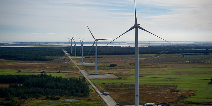
Wind energy developers use the data products for preliminary screening of wind site suitability for planning and prospecting.
Wind modellers use the advanced surface roughness data products in flow models, for improved accuracy of wind resource assessments. Testing at 10+ global wind energy sites has shown an improved accuracy of the modelled Annual Energy Production (AEP).
Specifications
Typically 10 meter resolution
Data can be obtained for any onshore wind site in the world
Cover large areas instantaneously to complement field data
Go 40 years back in time to estimate long-term forest changes
Monitoring information can be provided on a weekly basis
Data available in a ready to use format for easy incorporation into existing GIS systems and databases
Price list
Contact us for a quote
EOatDHI part of the DHI GROUP
gras@dhigroup.com
+45 4516 9100
Agern Alle 5,
2970 Hørsholm,
Denmark
CVR: 36466871