Crop water use derived from Earth Observation data to facilitate increase in water-use . . . . .
Crop Water Monitoring
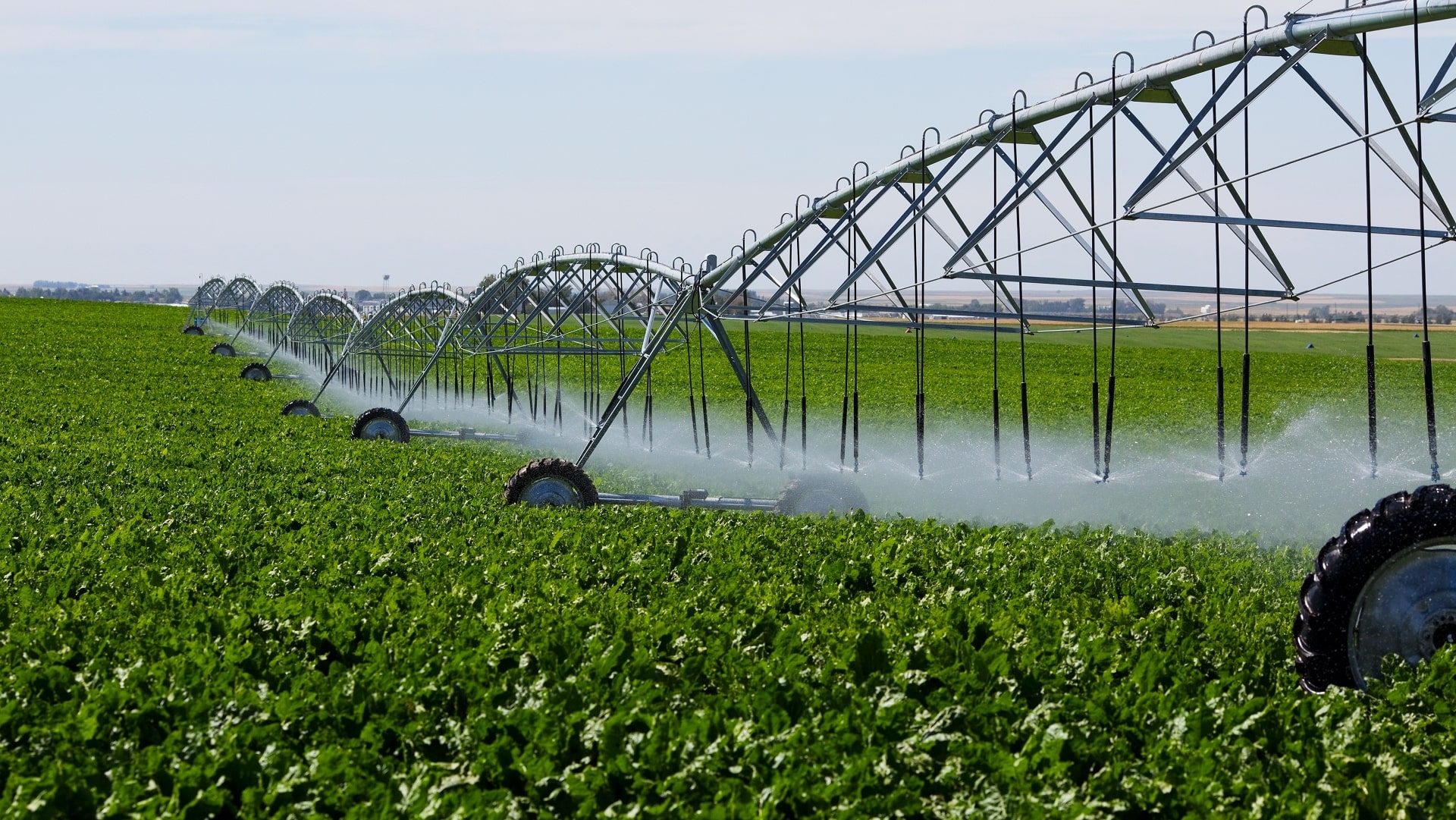
Crop water use derived from Earth Observation data to facilitate increase in water-use efficiency (crop per drop)
Why is it important?
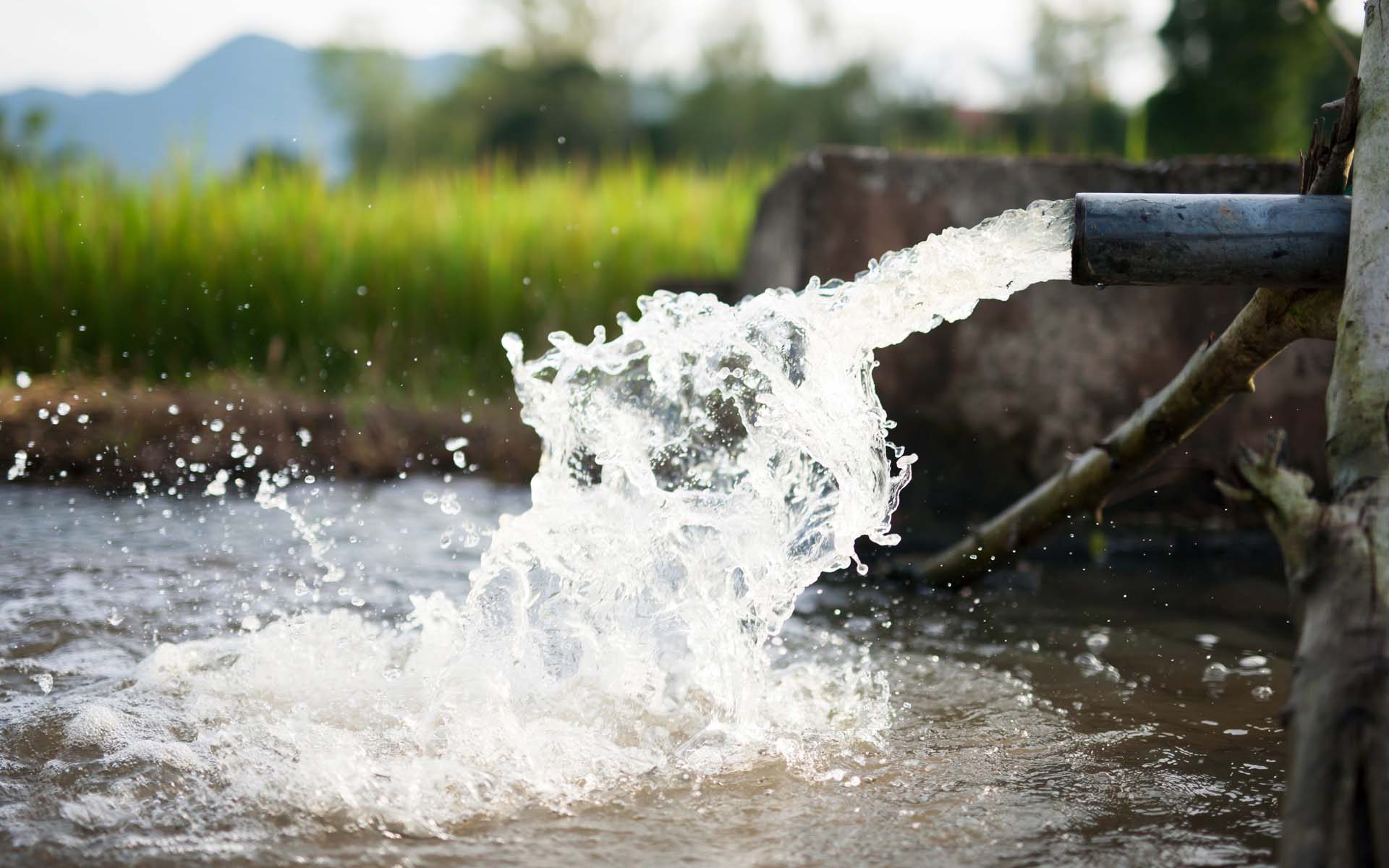
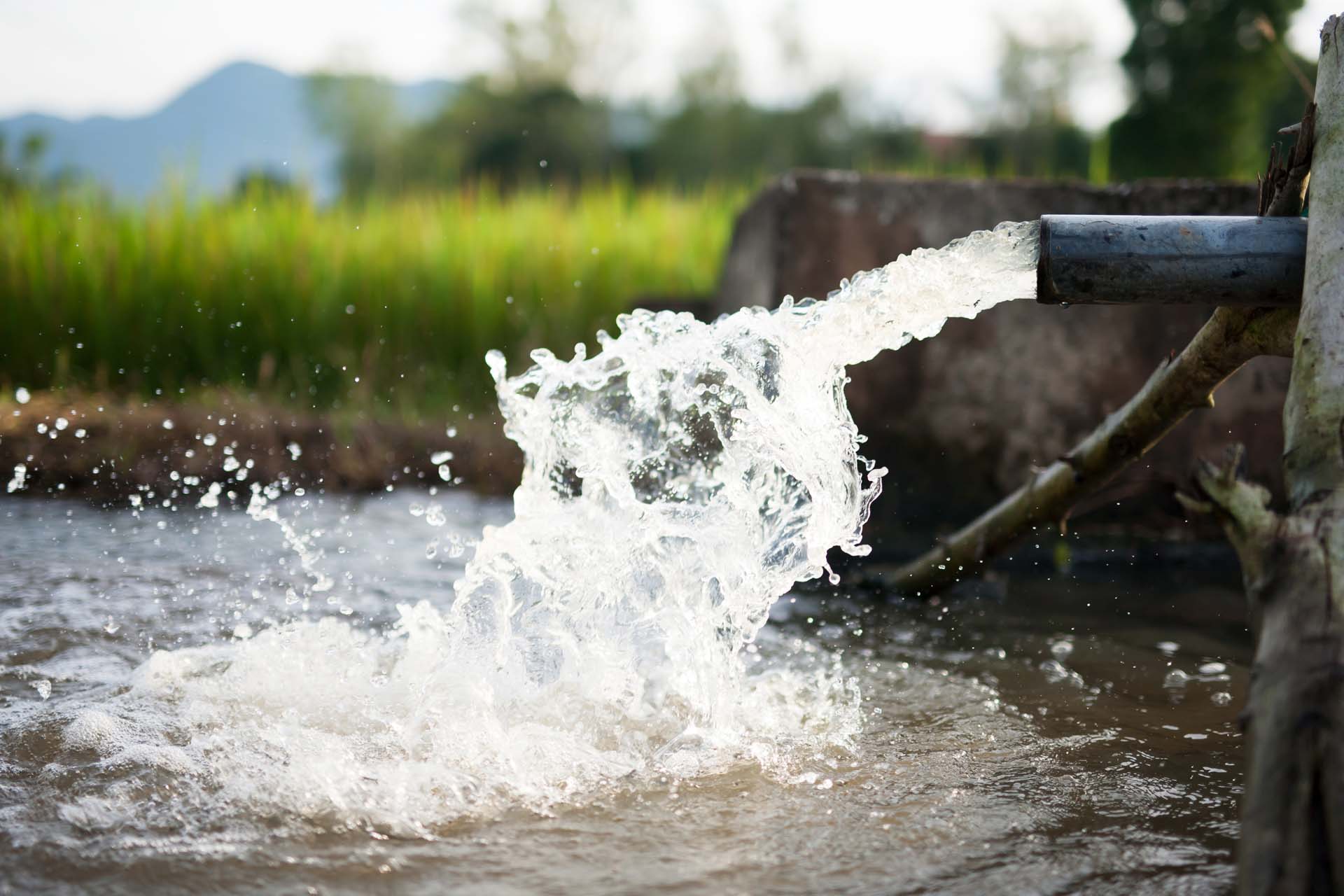
The growing population and associated increase in food production, together with shifting weather patterns due to climate change, are putting increased pressure on fresh water resources. In many regions of the world, a large majority of fresh water withdrawals are used in agriculture and in particular for crop irrigation. Improving agricultural water use efficiency is therefore essential for a sustainable future.
Efficient management of fresh water resources is gaining prominence in national and international legislation. For example, the European Union’s Water Directive requires market pricing for agricultural water use, while the United Nation’s Sustainable Development Goals are driving efficiency improvements. Therefore, increasing crop water-use efficiency makes economic sense and could be a legislative requirement.
How does it work?
Information on the actual transpiration of the vegetation and the evaporation from soil surfaces can be derived from Earth Observation data.
Providing this kind of information can improve water use efficiency in agriculture because monitoring of crop water content and soil moisture is made possible helping to improve irrigation management and assessing crop water stress.
All products can be provided at regional and field scales with up to daily time steps. Accuracy can be improved by incorporating local information, e.g. meteorological observations or crop and soil maps, provided by the user.
What you get!
Advice on crop water stress, water withdrawal or irrigation efficiency based on the actual crop evapotranspiration
Soil moisture and vegetation water content maps
Information can be provided at regional or field scale at up to daily timescale (depending on the cloud cover)
Typical customers?
Irrigation district managers can use this information to improve water allocation and short-to-medium term planning
Farmers can benefit from timely water-stress data to prevent wasteful over-irrigation and to improve crop quality through deficit irrigation at critical times of the growing cycle
Regional authorities can ensure that water users are abiding by the relevant legislation, e.g. related to amount of fresh water withdrawals or water use restrictions
Specifications
Actual soil evaporation and crop transpiration derived with combined thermal and optical data
Soil moisture and vegetation water content derived using radar, thermal and optical data
Higher level products such as crop water stress, water withdrawals, irrigation efficiency, and water productivity
Maps can be produced at regional and field scales, with up to daily time step
Price list
Contact us for a quote
EOatDHI part of the DHI GROUP
gras@dhigroup.com
+45 4516 9100
Agern Alle 5,
2970 Hørsholm,
Denmark
CVR: 36466871