A Gazelle observed from space – DHI GRAS awarded business growth award from Børsen

A Gazelle observed from space – DHI GRAS awarded business growth award from Børsen

23 OCTOBER 2020

We are proud to announce that DHI GRAS has received Børsen’s Gazelle prize 2020, in recognition of our continuous growth and development.

Each year, since 1995, Børsen has identified Denmark’s growth elite, and over time the gazelle has become part of the Danish language as a synonym for growth businesses. In short, a Gazelle is a business which has ’achieved a continuous growth in revenue for the last four financial years, and which has, in total, more than doubled the revenue in the period’.

First and foremost, the Gazelle prize reflects the dedicated efforts and hard work of our growing team, whose commitment to innovation and excellence defines our achievements of success. It is through their curiosity, creativity, and willingness to challenge status quo that we continuously transcend the limits of space data, by creating new products and services that creates real and positive impact on the ground.

However, our sustained growth is also a testimony to the maturity and value of the space sector and earth observation, which from its infancy, in the early days of DHI GRAS, 20 years ago, has developed from a niche to a mainstream technology. This transformation is not least facilitated through the deployment of increasingly more satellites in recent years, which has made earth observation data more accessible, affordable, and more usable than ever before. This foundation will only grow bigger, and so will the relevance and opportunities provided by the space sector and downstream service providers, such as DHI GRAS.

As a new Gazelle, DHI GRAS is experiencing a surge in our activities. New innovative products are created, new partnerships have been formed and new customers gained. We are excited about the future of DHI GRAS and have already set our target towards next year’s Gazelle award. We are ready to continue to drive change and innovation in earth observation!

Winning the Gazelle price is a tangible evidence of the growth and success of DHI GRAS - and we are extremely delighted to receive this award. It’s a testimony to the fact that the work we do creates real value and positive impact for our customers and clients. However, it goes without saying, that no company can grow in the long run without energized and passionate employees who believes in the mission and understand how to achieve it. So, while this award is an indicator of our financial growth, it’s a manifestation of the collective efforts of our fantastic team and I am very excited to share this award with them.
Rasmus Borgstrøm
Managing Director

Our beautiful planet as seen from space – how satellites help monitor earth’s vital signs

Our beautiful planet as seen from space - how satellites help monitor earth's vital signs

15 SEPTEMBER 2020

From natural disasters to a global pandemic, 2020 has been marked in history as a year of global extremes.

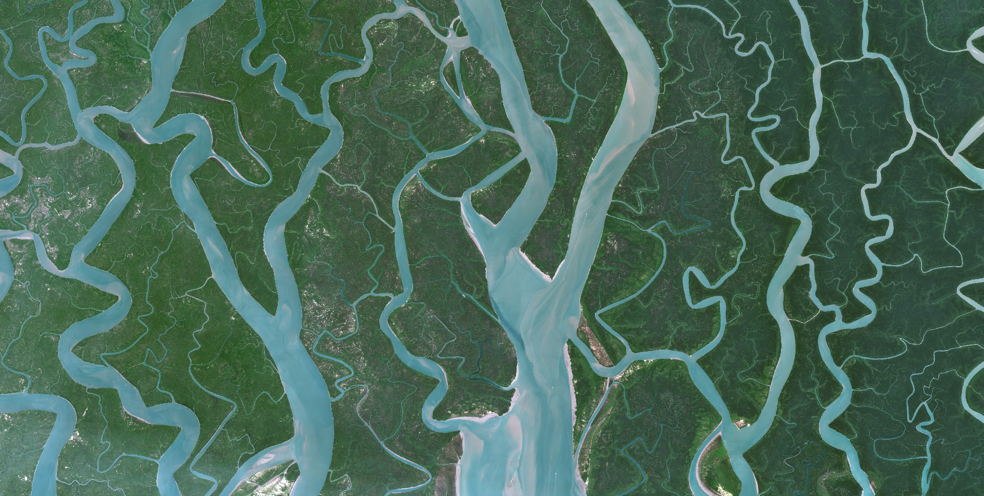
Let’s take a moment to distance ourselves from negative news and showcase the beauty and diversity of our planet, as seen from space.

‘Day-and-night, the entirety of our planet is surveyed by an ever-increasing number of Earth observation satellites that capture the astonishing beauty and dynamics of our planet. In DHI GRAS we get to appreciate this beauty daily, and today we want to share our world with you.

A satellite image is worth a thousand words. While the images below show the magnificence of our planet, they also contain critical data that can be used to synoptically map and monitor it's pulse.

A growing variety of sensor types and capabilities, as well as novel analytics tools and data processing techniques, have propelled satellite-based Earth observation into a new era.

The images below contains modified Copernicus Sentinel data [2020] Image credits European Space Agency - ESA

Earth observation – the new frontier in coastal resilience planning

Earth observation - the new frontier in coastal resilience planning

06 AUGUST 2020

Healthy oceans and well-managed coastlines are key in ensuring that island and coastal communities are resilient to climate change impacts.

For agile and spatially-distributed response, data about changes, trends and environmental status in coastal areas is critical. However, comprehensive assessments of coastal zones are costly, complex and cumbersome to carry out.

Now you can take advantage of the latest satellite technology and machine learning algorithms to meet your monitoring needs – at a low cost.

To support coastal resilience planning, we provide:

✔️Up-to-date data on coastline positions & assessments of erosion/accretion over time (Click here to learn more about our coastline mapping solution)

✔️Mapping & monitoring of the dynamics of submerged aquatic vegetation (Click here to learn more about our submerged aquatic vegetation solution)

✔️Mapping of land cover/land use in high spatiotemporal resolution (Click here to learn more about our land cover mapping solution)

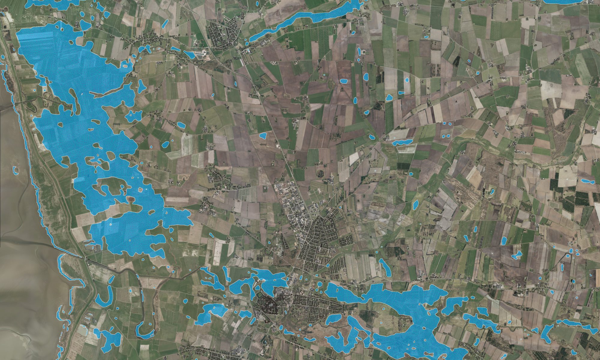
✔️Near real-time mapping of flood extent & frequency (Click here to learn more about Flood Metrics)

✔️Near real-time monitoring of water quality & suspended sediment (Click here to learn more about our water quality solution)

✔️Up-to-date bathymetry in shallow waters in resolutions from 2-30 m (Click here to learn more about our satellite-derived bathymetry solution)

✔️The latest Very High Resolution (VHR) satellite imagery covering your project area (Click here to learn more about satellite imagery and acquisition prices)

EOatDHI part of the DHI GROUP

gras@dhigroup.com
+45 4516 9100

Agern Alle 5,
2970 Hørsholm,
Denmark

CVR: 36466871