Using satellites to monitor surface water resources to support national water authorities and

Surface Water Monitoring
Using satellites to monitor surface water resources
Why is it important?
Monitoring surface water can support national water authorities and river basin commissions with vital data on basin hydrology and infrastructural development projects (e.g. planning dam construction or irrigation schemes). It is also crucial knowledge for irrigation and livestock watering and monitoring water-related ecosystems.
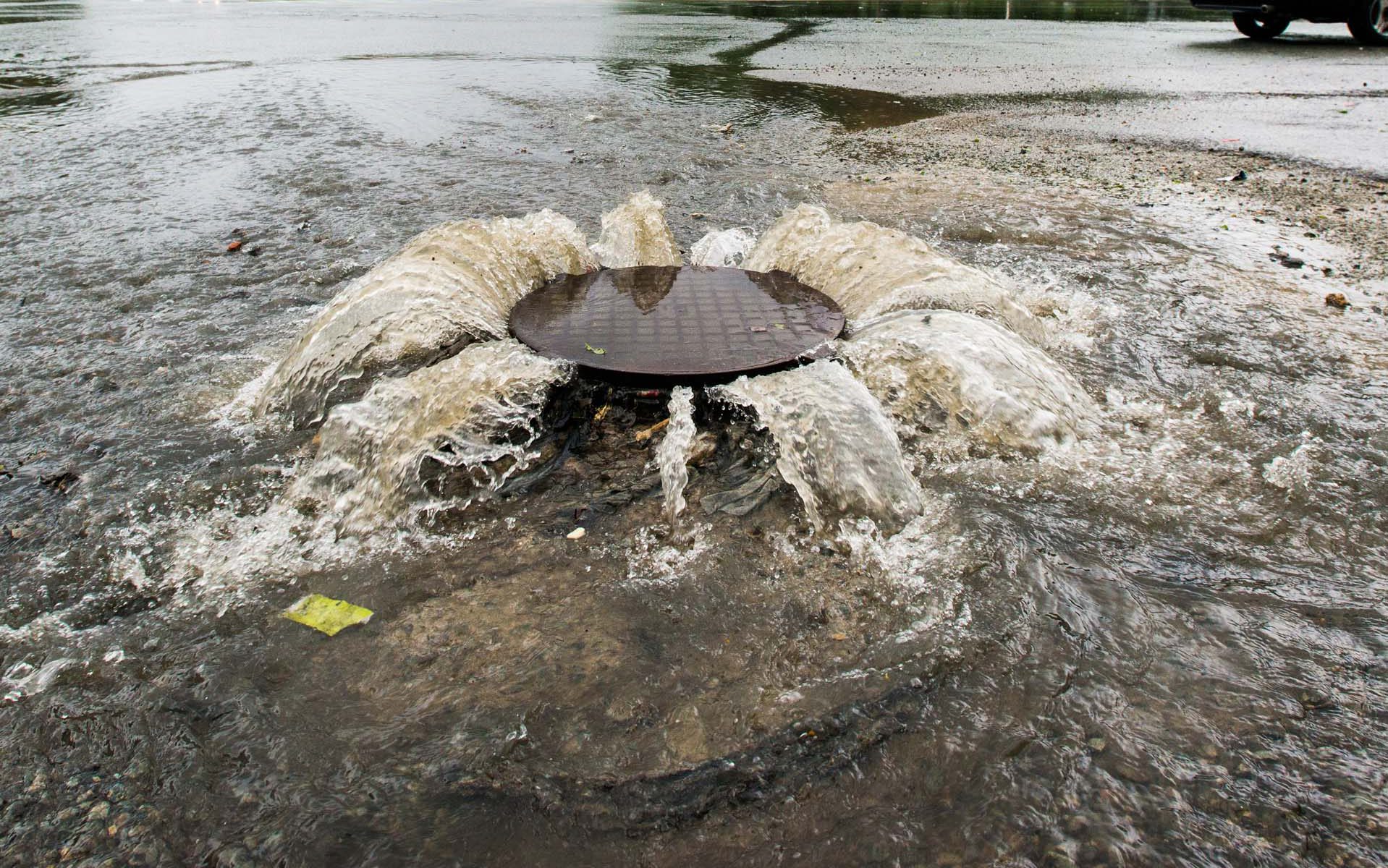
Historic and near real time flood mapping information helps to identify and evaluate flood hazards and to better plan for how to address the challenges from extreme climatic events.
How does it work?
Satellite derived information supports the assessment and monitoring of surface water resources from watershed to national and transboundary basin level.
The Surface Water Monitoring solution focuses on the identification of water bodies and wetlands and their associated dynamics. The monitoring information is key for assessing the availability of water resources over time including their response to climatic extremes such as floods and droughts.
Monitoring surface water from space provides water authorities with the reference information needed to make informed and timely decisions.
What you get!
Updated GIS maps with hydrology related information e.g. surface water, wetlands, irrigated areas and infrastructure projects in water environments
Necessary reference information for efficient planning and steering of surface water resources for human and livestock water requirements
Effective technology for mapping and monitoring of flood conditions of large regions and for inaccessible areas
Typical customers?
River basin organizations and environmental agencies to obtain important information on the basin hydrology and for ecosystem monitoring
Water authorities who are facing increased water scarcity and therefore need to effectively manage water resources to serve domestic, industrial and ecosystems requirements
Disaster management units for their preparedness, emergency planning and damage assessments
Specifications
Worldwide coverage
Resolutions down to 30 cm
Monitoring information can be provided on a weekly basis
Data available in a ready to use format for easy incorporation into existing GIS systems and databases
All weather capacity mapping through clouds and at night with Synthetic Aperture Radar (SAR) data
Price list
Prices starting from 0.1€ per km2
EOatDHI part of the DHI GROUP
gras@dhigroup.com
+45 4516 9100
Agern Alle 5,
2970 Hørsholm,
Denmark
CVR: 36466871