WorldWater – Surface Water Dynamics

Why is it important?

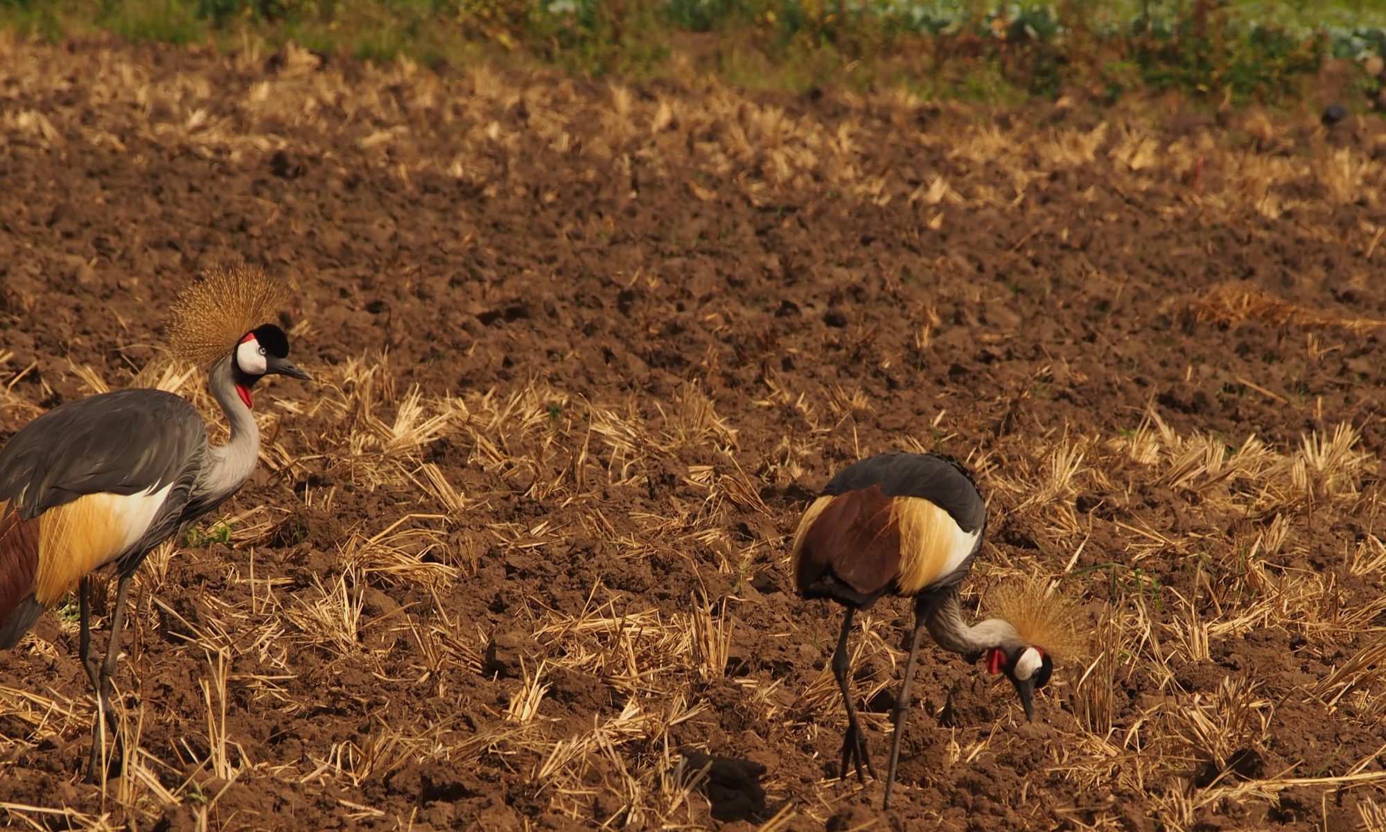
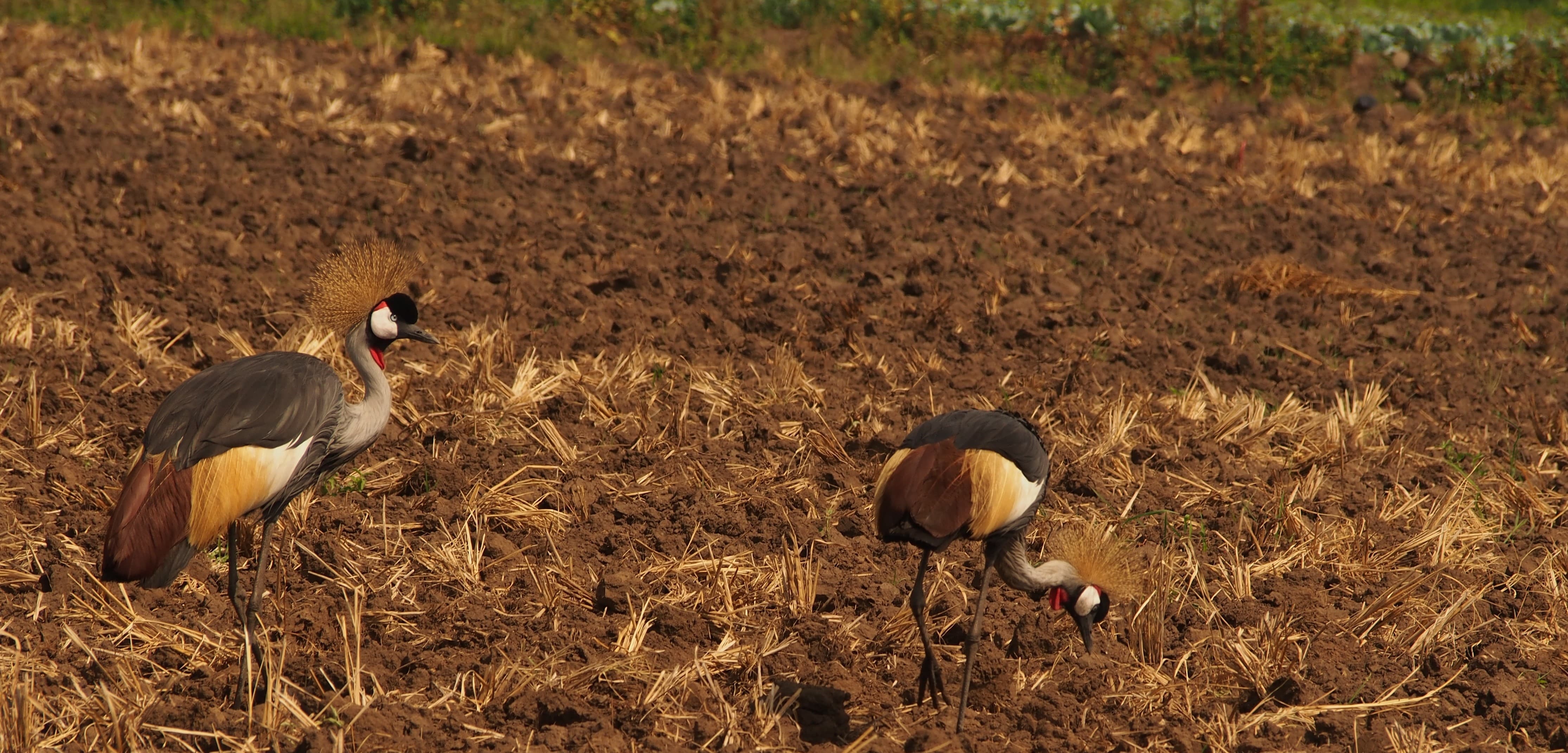
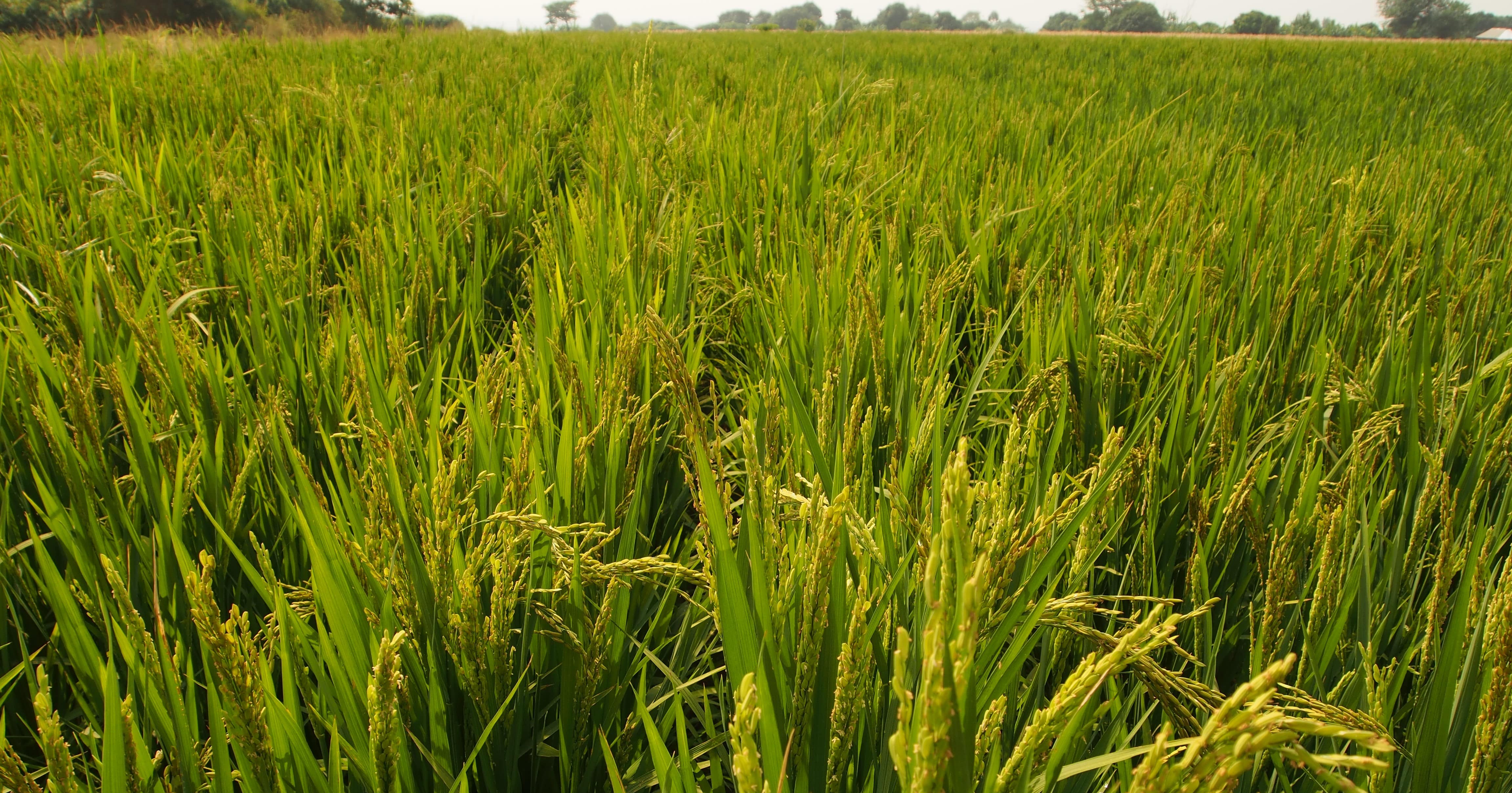
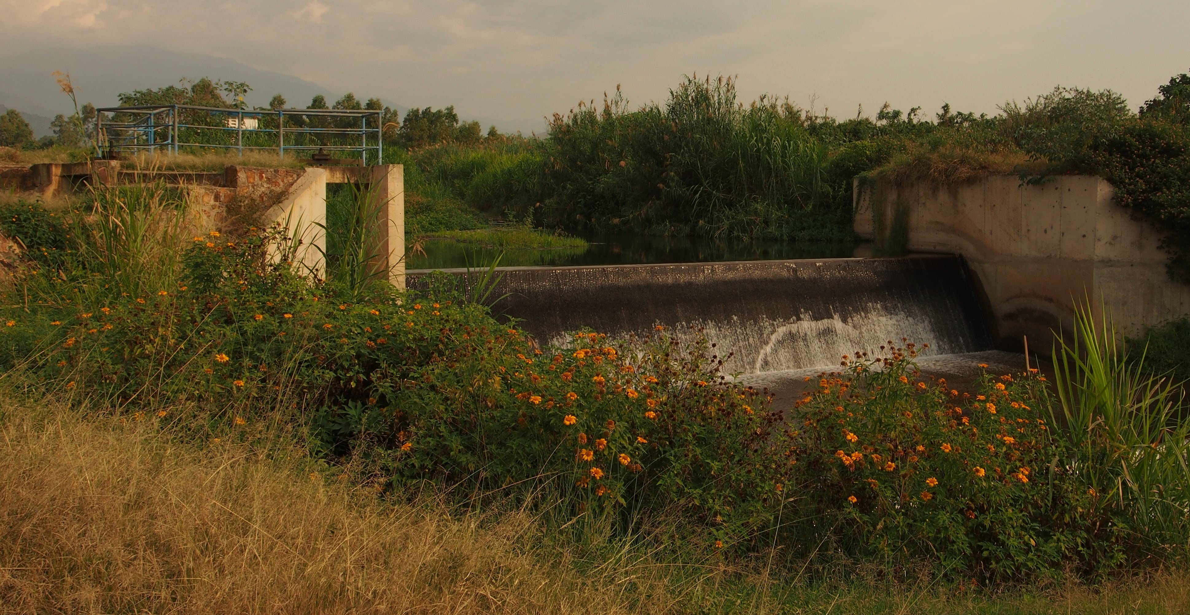
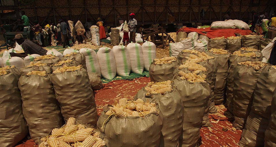
Water is essential for life on Earth and a critical natural resource that underpins all social and economic activity. During the last century, water consumption has increased twice as fast as the world’s population, and today water scarcity affects more than 40 percent of people globally – a disturbing figure which is expected to rise if we do not change our habits and respond to climate change and future global warming. The need for proper and timely information on water (non-) availability is a critical requirement for water management activities.

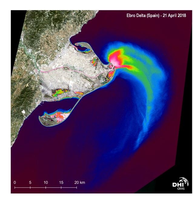
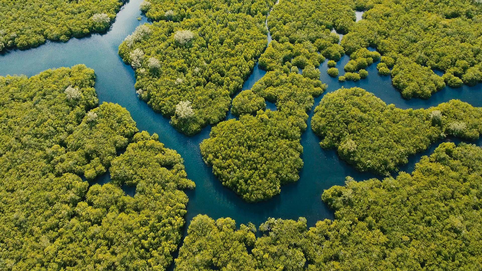
The WorldWater - Surface Water Dynamics project aim to address the needs of authorities, at all levels, by developing EO tools and products to improve the ability of national and regional stakeholders to monitor the world’s inland water resources in both extent and volume.

Project highlights:

Developing robust and operational EO methods and tools for surface water dynamics monitoring, applicable at a global scale.

Integrating EO products and tools in a data analytics platform to foster the wider usage of EO data and surface water dynamics products for country and basin scale water resource monitoring and reporting

Building national capacities to better monitor and report on water resources using EO through user workshops, training courses and awareness events.

In more detail..

The dedicated goal on water in the 2030 agenda for sustainable development has brought a spotlight to water policy at global level and in national planning and representing a clear indication that countries worldwide recognises the ‘water crisis’, which has consistently been ranked by the World Economic Forum as one of the threats with the highest potential impact and likelihood. In fact, reality may have turned out faster than anticipated. Population growth, socioeconomic development and urbanization are all contributing to increased water demand, while climate change induced impacts on precipitation patterns and temperature extremes further exacerbate water resource availability and predictability. The Sustainable Development Goals (SDGs), especially the goal on ‘clean water for all’ (SDG 6) and the ‘climate action goal’ (SDG 13) therefore need all the attention they can get to avoid an accelerating ‘water crisis’ towards 2030.

The use of EO data for monitoring water resources is increasingly being recognized and accepted as a viable source of information for practitioners and decision-makers. Through the lens of Sustainable Development Goal (SDG) 6 and specific use case studies, the WorldWater - Surface Water Dynamics project will demonstrate how global coverage EO data can be used to systematically and accurately measure inland surface water resources. It will complement existing EO initiatives and projects (e.g. Global Surface Water Explore and the Copernicus global land services) by further developing EO tools and products to effectively use the most up to date, open and free satellite data, primarily from the Sentinel missions, for improved monitoring of the world’s inland water resources.

The project aim to enable national authorities and river basin organizations to apply EO data to independently monitor surface water dynamics at all scales in a robust way - thereby providing them with essential information for more evidence-based planning and management of water resources and an ability to efficiently report and act in response to the global water agenda.

DHI GRAS leads WorldWater in a consortium that also includes GeoVille GmbH (Austria), GISAT (Czech Republic), GRID-Arendal (Norway) and the technical university of Denmark (DTU).

European Space Agency:

The European Space Agency (ESA) is the European space programme and its mission is to explore Earth, its immediate space environment, our Solar System and the Universe.

ESA also works closely with space organisations outside Europe to develop satellite-based technologies and services, and to promote European industries.

EOatDHI part of the DHI GROUP

gras@dhigroup.com
+45 4516 9100

Agern Alle 5,
2970 Hørsholm,
Denmark

CVR: 36466871

DK4HAPS

Why is it important?

As a future technology, HAPS platforms will open a new market for remote sensing and surveillance by offering disruptive and complementary applications to services enabled by satellites, terrestrial infrastructures and Remotely Piloted Aircraft Systems (RPAS), at relatively low cost. This project will explore uptake potential among stakeholders in Denmark and identify potential use case applications in a Danish context.

Project highlights:

Analysing and documenting opportunities for HAPS platforms to contribute to, and strengthen, the capacity of the Danish authorities to carry out surveillance and monitoring tasks, primarily in the field of defense and security.

Documenting existing HAPS technology gaps, to uncover industry needs and requirements, in order to leverage opportunities for Danish tech companies to contribute relevant technology that can support the development of HAPS platforms.

Provision of tailormade workshops focusing on HAPS application potential and opportunities, to connect industry leaders and relevant stakeholders in the uptake community and explore relevant use case scenarios in Denmark.

In more detail..

High Altitude Pseudo Satellites (HAPS) are geostationary or quasi-stationary stratospheric platforms that provide a link between the capabilities of satellites, UAVs and aircrafts. Positioned in the lower stratosphere, at a height of just over 20 km, they are close enough to the earth to provide high spatial resolution video and image data and at a distance far enough to uncover large land and ocean areas, continuously and in near real time.

They are ideally positioned to complement and expand the capabilities of satellites in earth observation, telecommunications and navigation and provide time-critical and permanent monitoring and communication solutions at relatively low cost.

Therefore, in the near future, HAPS platforms are expected to open up a new market for remote monitoring, enabling a time-critical and satellite-like monitoring that can support and contribute to several state and private applications and surveillance missions in defense and security, including patrol in Arctic, ship and air traffic monitoring, border patrol, etc.

This project aims to define the specific need for HAPS-based monitoring solutions in Denmark and at the same time identify opportunities for Danish technology companies to contribute relevant technology that can support the development of HAPS solutions, including the development of miniaturized sensors and communication systems.

Center for Defence, Space & Security:

The Center for Defence, Space & Security (CenSec) is the prime Danish cluster for small and medium-sized enterprises specializing in high tech industries like defence, homeland security, space, aerospace, railway and maritime.

CenSec was founded in 2004 and established in 2007 as an industrial cluster. In 2018, CenSec was approved by the Danish Ministry of Higher Education and Science to also become a national Innovation Network for Security (Inno-Sec)

EOatDHI part of the DHI GROUP

gras@dhigroup.com
+45 4516 9100

Agern Alle 5,
2970 Hørsholm,
Denmark

CVR: 36466871

Global Seas

Why is it important?

High-quality and reliable data on past, present and predicted conditions of various metocean parameters is essential in order to reduce fuel consumption, lower emissions and improve fleet management capacity in the shipping industry. DHI’s Global Seas will deliver hourly information on ocean current, wave and wind data one-year back and five days ahead in time, globally, through a series of accurate regional ocean current models assimilated by satellite data input.

Project highlights:

Providing global-local high-quality ocean surface current data achieved by combining earth observation and modelling techniques in a semi-automated downscaling approach

Covering a wide range of metocean parameters with expert assessment of quality and only including sufficiently reliable data.

Ensuring flexibility, easy and efficient access to the data exactly where the information is needed in the workflow of the end-users. This includes exploiting the increased bandwidth expected from sitcom and GPS positioning of vessels typically communicated via AIS.

In more detail..

Global Seas will deliver earth observation enriched high-quality data on ocean currents and other valuable metocean data tailored for application in the shipping sector with the purpose of making shipping more fuel efficient and ensure better management of the fleets.

The value creation will come from reduced fuel consumption, lower emissions and improved fleet management capacity. This is typically obtained by the shipping companies directly, by route optimization and fuel optimization service providers and by the vessel navigators and captains.The decisions made by the various players are complex on their own, but rely on the quality of past, present and predicted conditions of ocean currents, wind, waves, water level, sea temperature, salinity and other metocean conditions.

Global Seas focuses on generating value by providing easy and efficient access to current and other metocean high-quality data and estimating the accuracy of the data provided. This solution relies most heavily on altimetry-based sea surface height products combined with DHI’s world leading hydrodynamic models. Sea surface observations are used both for continually updating the tidal water level and current products, and it is the most important satellite observation for constraining mesoscale dynamics.

While emphasis is on ocean currents, the product will also integrate sea surface temperature (SST, from e.g. Sentinel 3A and 3B SLSTR), scatterometer surface wind speed data (from e.g. ASCAT, RapidScat), wave height and wind speed from altimetry

European Space Agency:

The European Space Agency (ESA) is the European space programme and its mission is to explore Earth, its immediate space environment, our Solar System and the Universe.

ESA also works closely with space organisations outside Europe to develop satellite-based technologies and services, and to promote European industries.

EOatDHI part of the DHI GROUP

gras@dhigroup.com
+45 4516 9100

Agern Alle 5,
2970 Hørsholm,
Denmark

CVR: 36466871

Monitoring & Assessment of Climate Change Impact on Geomorphology in the Coastal Areas of Bangladesh

Why is it important?

The vulnerability of the coastal population in Bangladesh is on the rise due to climate change. In order to identify and adopt best practice measures to increase the resilience of the coastal population to natural disasters and climate change, it is critical to assess and understand the changes and dynamics of the coastal zone. This project aims to build sustainable capacity among technical staff as well as decision makers to utilize modern satellite-based techniques to monitor climate change challenges and to provide early warning in the coastal zone of Bangladesh

Project highlights:

Providing a detailed baseline of existing GIS and earth observation data handling capacities among key stakeholders in Bangladesh

Capacity building within the use of satellite imagery for effective, systematic and routinely monitoring of coastal areas in Bangladesh with a view to assess climate change impacts.

Provision of on-site tailormade technical workshops focusing on application of EO techniques and coupled local field surveys.

In more detail..

The project is intended to establish methodological guidelines and step-by-step workflows for Earth Observation based assessments of coastal zone dynamics in Bangladesh, and train staff in developing early warning capacity for bank erosion attacks, which is one of the most significant risks from climate change.

Furthermore, the EO based workflows will allow stakeholders to increase the general understanding of the morphological processes in the coastal zone of Bangladesh and the impacts of climate change on these processes.

The project will contribute significantly to develop the technical ability of key stakeholders within relevant government agencies in Bangladesh, to conduct time-critical analysis of erosion/accretion processes and assessments of climate change impacts using advanced remote sensing methods.

Long term linear regression - indicates areas that are getting wetter (blue) or drier (red)
Fractional water coverage

Climate Technology Centre and Network:

The Climate Technology Centre and Network (CTCN) is the operational arm of the UNFCCC Technology Mechanism, hosted by the UN Environment Programme and the UN Industrial Development Organization (UNIDO). The Centre promotes the accelerated transfer of environmentally sound technologies for low carbon and climate resilient development at the request of developing countries.

EOatDHI part of the DHI GROUP

gras@dhigroup.com
+45 4516 9100

Agern Alle 5,
2970 Hørsholm,
Denmark

CVR: 36466871

H2020 CEASELESS

Why is it important?

The requirements from end-users and the wide range of applications underpin how crucial the development of oceanographic products is.

The H2020 CEASELESS project is contributing to a better understanding and prediction of coastal oceanography based on developments in satellite and in-situ data as well as high resolution models and novel assimilation approaches.

Project highlights:

Application of new Sentinel data to extract a spatial structure for coastal processes

Application of met-ocean predictions for users as a proof of concept for the new prediction capabilities, highlighting application limits and providing feedback for further developing their coastal dimension

New higher resolution and prediction capabilities for met-ocean variables, to allow for coupling and assimilation at unprecedented scales

In more detail..

The new Sentinel data, together with existing satellite measurements, are supporting a much needed spatial structure to complement the temporal variability captured by in-situ timeseries.

The CEASELESS project has applied the new Sentinel data to selected pilot sites to allow for efficient testing of unstructured grids to better capture coastline irregularities and sea bed geometry and forms.

The pilot sites will allow for more efficient analysis approaches globally, and more specifically in the North Sea and Mediterranean Sea. This serves as proof of concept for the role that coastal processes play in the meteo-oceanographic predictions and the importance of combining in-situ data with satellite measurements for restricted coastal domains.

In CEASELESS, DHI GRAS is acting as the optical remote sensing expert providing Sentinel-2 based satellite-derived bathymetry , water quality data and information on coastal dynamics. Tied up in a cloud-based processing environment a truly scalable approach has been designed capable of delivery of large-scale coverage globally.

Suspended matter
Satellite derived Bathymetry, German Bight
Showing the workflows from input imagery to derived index to a final vectorized coastline

European Commission:

CEASELESS is funded by the European Union’s H2020 Programme for Research, Technological Development and Demonstration under Grant Agreement No: H2020-EO-2016-730030- CEASELESS.

H2020 is the biggest EU Research and Innovation programme and a financial instrument aimed at securing Europe’s global competitiveness by driving economic growth and focusing on research as an investment for the future of Europe.

EOatDHI part of the DHI GROUP

gras@dhigroup.com
+45 4516 9100

Agern Alle 5,
2970 Hørsholm,
Denmark

CVR: 36466871

Sentinel-based change detection for GeoDenmark

Why is it important?

The results of this study provides the basis for using satellite data sources and Machine Learning methods for a nationwide automated classification and quality assurance of topographic maps in the GeoDanmark dataset.

A further development of the methods could make a nationwide screening of all lakes in Denmark possible.

Project highlights:

Using Sentinel time series and Machine Learning to validate lakes in existing topographic maps

Providing quality managers with a cost-effective tool to prioritise efforts with quality assurance of existing and future data sets

Showing the possibility of a nationwide screening of all lakes in Denmark in the future

In more detail..

A study area covering parts of Northern Jutland was analysed using relevant Sentinel 1 and 2 satellite imagery from 2017.

The temporal resolution of Sentinel-1 is high, and it therefore has the advantage of providing large amounts of data throughout the year. However, it is limited in its spatial resolution which makes the classification of relatively small objects difficult e.g. small lakes, since they do not show on the images.

Sentinel-2, on the other hand, has the advantage of having a significantly better spatial resolution, which enables the classification of small lakes. Here, the limitation is that clouds and shadows limit the temporal resolution.

Combining data from the two satellites, would therefore give a better data coverage.

We found that a relatively large portion of the mapped lakes in the GeoDenmark dataset, from a Sentinel-based point of view, either cannot be described as lakes or may be deviating from the existing categories.

The results of this study indicates that there are good prospects in using the Sentinel-based data sources and methods for a nationwide automated classification and quality assurance of topographical maps, such as the mapped lakes in the GeoDenmark data set.

In this study, we focused on previously mapped lakes in the GeoDenmark data set, but it is expected that the same method could be used to map lakes that do not already exist in the dataset.

Based on a limited further investigation of the methods used, it is estimated that a nationwide screening of all lakes in Denmark, approx. 180.000 in total, could be automatically categorized and figure in the GeoDenmark dataset for lakes.

The Danish Agency for Data Supply and Efficiency:

The agency provides the public and private sector with high-quality data, enabling them to make important community decisions based on the best available information.

The agency is part of the Energy, Supply and Climate Ministry in Denmark.

EOatDHI part of the DHI GROUP

gras@dhigroup.com
+45 4516 9100

Agern Alle 5,
2970 Hørsholm,
Denmark

CVR: 36466871

ReSTEK – Remote Sensing Technologies for coastal monitoring

Why is it important?

Remote sensing technology can provide systematic and cost-effective information of the marine and coastal environment at large scales.

This is of interest to public authorities, looking to further increase the effectiveness of national monitoring programs through the inclusion of novel technology.

Project highlights:

Assessing the potential use of air and spaceborne remote sensing technologies for monitoring submerged aquatic vegetation in the nearshore coastal zone of Danish waters

Mapping the distribution of benthic habitats to expand the knowledge about e.g. eelgrass area coverage as an indicator for water quality status

Evaluating the use of Sentinel 2 and 3 satellites for monitoring surface chlorophyll concentration to improve the temporal resolution and the spatial distribution of the current water quality monitoring program

In more detail..

The Danish Environmental Protection Agency initiated a 2-year activity in 2017, where DHI GRAS was in charge of satellite analyses of water quality and benthic habitat mapping for selected Danish water areas.

We examined the potential for using remote sensing technologies in connection with the current Danish national NOVANA (National Monitoring and Assessment Programme for the Aquatic and Terrestrial Environment) monitoring program.

The first part of the project looked at the distribution of eelgrass using data from the Sentinel-2 satellites. Eelgrass is an important water quality indicator and has been included in the Danish water plans to assess the environmental state along the Danish coasts. The eelgrass distribution reflects the clarity of water and nutrient richness and thereby indirectly the quality of the water.

The most common practice for mapping eelgrass meadows is to record the distribution along a transect line with a diver, which is costly and unsuitable to derive the complete temporal and spatial eelgrass cover of the Danish coastal waters.

An updated nationwide map of the eelgrass distribution therefore has several potential uses in the Danish water plans:

1) For further development of eelgrass as an indicator of the coastal areas' condition

2) In connection with land-use planning and concrete protection of eelgrass meadows

3) For quantification of eelgrass's ecosystem services

The second part of the project looked at the chlorophyll concentrations in the Danish surface waters using data from Sentinel-2 and Sentinel-3 satellites.

Chlorophyll concentrations are regularly determined by a chemical analysis of water samples which are collected from a ship and subsequently undergone trial processing in the laboratory. Because this type of traditional sampling is costly, usually measurements are taken at only 1 location per water area, approximately every 14 days.

This limits the ability to document the spread and temporal dynamics of important events such as algae blooms and leads to relatively large deviations in seasonal means.

The combination of Sentinel-2 and Sentinel-3 provided a cost-effective way to supplement national in-situ monitoring of surface chlorophyll in the shallow Danish coastal waters, in order to improve the temporal and spatial distribution of chlorophyll concentration.

Satellite technology cannot replace in-situ sampling completely, but it can optimise sampling design and fill gaps.

By bringing together information from various sources, the confidence in the data can be enhanced and greatly improve national assessments.

Chlorophyll summer mean 2018 from Sentinel-3 for Roskilde Fjord and Isefjord.

The Danish Environmental Protection Agency:

EPA is the authority in charge of preparing legislation, granting authorisations and providing guidelines within the fields of the environment and health: chemicals, pesticides, gene technology, soil, waste and environmental technology.

The range of tasks is broad, from algae bloom detection and regulations for chemicals in hair colourants, through investigations into how more waste can be recycled and authorisations for new pesticides to the handling of fruit and vegetables.

Monitoring agricultural fields

EOatDHI part of the DHI GROUP

gras@dhigroup.com
+45 4516 9100

Agern Alle 5,
2970 Hørsholm,
Denmark

CVR: 36466871

Mapping the Greenland coastal zone

Mapping the Greenland coastal zone

Why is it important?

Remote and challenging regions, such as Northeast Greenland, are difficult to map in detail, and existing topographic maps in Greenland are usually inaccurate with undefined or undocumented features and characteristics.

This makes it difficult to create an Environmental Oil Spill Sensitivity Atlas for NE Greenland, which already exists for West and South Greenland. Such atlases require a topographic base map and information on the physical environment.

With freely and commercially available satellite imagery as well as advanced image analysis coupled with local knowledge it is possible to provide detailed characteristics of the coastal zone in the arctic waters without the safety risks associated with traditional survey methods and at a much more cost-efficient rate, resulting in reliable and objective data.

Project highlights:

Geological and morphological classification of the coastline in NE Greenland aiming to be included in an oil spill sensitivity atlas providing the foundation for a planning tool for when an emergency response is needed

Determining the intertidal zone in the area and calculating depth of shallow waters

All derived products made publicly available through a governmental spatial infrastructure platform

In more detail..

The project used remote sensing approaches to map and characterize the coastal zone within the planned oil spill sensitivity atlas which includes off-shore hydrocarbon areas of interest in NE Greenland.

Using new methods within satellite remote sensing data gives the possibility of providing updated products at a higher resolution in a timely manner.

This work will be highly complementary to the coarser scale but larger regional coverage of the planned atlas, which will be based on existing data. Both products will act as a validation tool for the other, and will also allow for the opportunity to examine advantages and limitations of the different approaches.

The demonstration mapping products have all been based on satellite information that would facilitate an upscaling of the mapping allowing to cover large and poorly mapped regions of the Arctic.

An important part of the existing oil spill sensitivity atlases is the analysis of the oil spill resistance of the coast. General coastal morphology and geology determines how oil spills will be absorbed by the materials along the coast or washed off. This is traditionally done by a manual assessment using available topographic maps and low resolution satellite images in segments of a few kilometers along the coast.

The new analyses would be beneficial to the atlas as it can detect straight or complex coastlines for the identification of risk of possible oil concentrations caught in pocket beaches or other complex morphologies. It can also determine geology types indicating where the oil would be absorbed or rejected and the new information about tidal zones would indicate where oil would be saturated.

The project has been conducted collaboratively with a team of experts from our partners Asiaq, GINR and DCE.

Partners:

EOatDHI part of the DHI GROUP

gras@dhigroup.com
+45 4516 9100

Agern Alle 5,
2970 Hørsholm,
Denmark

CVR: 36466871

High Altitude Pseudo Satellites (HAPS)

HAPS High Altitude Pseudo Satellites

Why is it important?

As a future technology, HAPS platforms will open a new market for remote sensing and surveillance. It offers disruptive and complementary applications to services enabled by satellites, terrestrial infrastructures and Remotely Piloted Aircraft Systems (RPAS), at relatively low cost.

Project highlights:

Providing detailed analysis of existing technology gaps and service limitations for  maritime activities.

Identification of system and performance requirements to explore payload components and infrastructure conforming to the requirements of the target user community

Extensive review of earth observation sensors to define a payload package consistent with user and platform specific requirements

In more detail..

Still in the early stage of development, production and operation, High Altitude Pseudo Satellites (HAPS) offers the potential to open a new market for remote sensing and surveillance in the future. HAPS operates at an altitude of approximately 20 km and can observe locations over extended time periods. This enables time critical and continuous monitoring and surveillance over specific areas of interest at relatively low cost.


In the ESA funded project ‘services enabled by HAPS complemented by satellites’, DHI GRAS explores the feasibility and capability of HAPS enabled services to extend the capabilities of satellites and Remotely Piloted Aircraft Systems (RPAS) in the domain of Earth Observation. The main objective is to propose potential services for HAPS that exploit the characteristics of the individual platforms and evaluate the maturity of payload technologies necessary to facilitate service provision.

Through an extensive stakeholder engagement process with potential end-users of HAPS enabled services within maritime operations and surveillance, we established a baseline for a system service definition and payload configuration that addresses the primary technology gaps and service limitations within target user communities. Through this analysis the client gained critical insight into the potential uptake and viability of services enabled by HAPS platforms.

EOatDHI part of the DHI GROUP

gras@dhigroup.com
+45 4516 9100

Agern Alle 5,
2970 Hørsholm,
Denmark

CVR: 36466871

AI4Water: Evapotranspiration

evapotranspiration Satellite data analysis SEN-ET

Why is it important?

In Uganda, irrigation development contributes to food security, poverty alleviation and economic growth by using water sustainably.

Satellite remote sensing of evapotranspiration (ET) is an essential part of global observation systems. It provides inputs for agriculture, water resources management, weather forecasts, climate studies and many other applications. Easy access to reliable estimations of ET is a key requirement within these domains. When ET is successfully estimated at high resolution it can map crop water stress at field scale.

Project highlights:

Developing and implementing an open-source AI algorithm that merges optical, thermal and meteorological data.

The ability to get information on water stress levels for farms in Uganda. Due to the resolution, we can provide evapotranspiration information  at farm level 

Better insights can lead to 30% less water use for the same yield.

Mubuku, Western Uganda
The area holds close to 2000 hectares of smallholder farms watered by drainage channels
The main crops grown are maize, rice, onions and mangos
The purpose is to find out if crops are overwatered or under stress

In more detail..

This project aims to develop and roll-out a novel algorithm for obtaining evapotranspiration and crop water stress at farm level for a large national irrigation scheme in Uganda.

The site chosen for this project is Mubuku in the Kasese District.

It is expected that the project can lead to 30% less water use for the same yield, which would greatly benefit the local community and farmers.

Since the code will be open source the project can pave the way for better irrigation in drought prone countries.

The project is done in collaboration with our partners, the Ugandan geo-information company, Geo Gecko.

Microsoft and National Geographic AI for Earth Innovation Grant:

A new, joint grant program that will challenge environmental issues of the 21st century with the most advanced technologies available today.

“AI for Earth Innovation” grants will fund new solutions that leverage AI and cloud technologies to monitor, model and manage Earth’s natural resources.

EOatDHI part of the DHI GROUP

gras@dhigroup.com
+45 4516 9100

Agern Alle 5,
2970 Hørsholm,
Denmark

CVR: 36466871