


What you need to know!
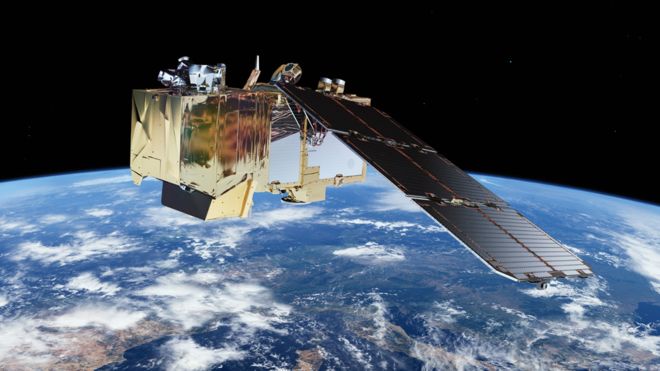
Satellites provide us with a unique overview of our planet. About 5000 satellites are orbiting above us and about 700 of these specifically record earth observation data. As satellites continuously orbit the earth, they enable us to track physical trends, changes, and developments over long periods of time – and in great details. Satellites enable us to derive digital twins or our planet, and document all the change and dynamics on the surface – and this can be used for a wide range of applications.
We use the term spatial resolution to describe the level of detail seen in the images. Generally speaking, a higher spatial resolution enables us to see finer details on the surface. Very High Resolution (VHR) satellite images have a spatial resolution below 2 meters, and the best VHR sensors capture our planet in a 30 centimeter spatial resolution.
Temporal resolution is used to describe how often we are able to acquire a new image from the satellite over the same area. Some satellites will capture images of specific locations each day, some once a week – and some can be tasked specifically to take an image over a given area on a specific time on a specific day. The footprint of a satellite indicates the area of the earth covered by a single image. For some satellites, the footprint is several hundreds of square kilometers, and for some it is only a few square kilometers.
What can we see and detect with VHR imagery?
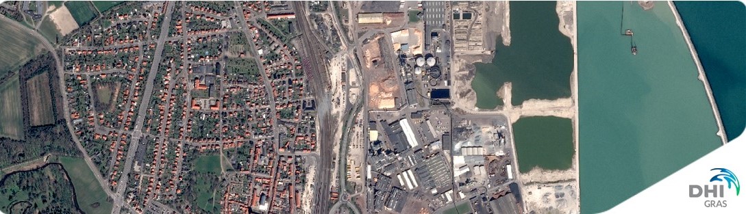
The image below is taken from Maxar/DigitalGlobe’s Worldview-3, a very high resolution satellite. The spatial resolution is 30 cm, meaning each pixel in the image corresponds to a real world area of 30 cm x 30 cm.
These type of images can be used to identify archaeological markings or make use of the multi spectral bands in combination with artificial intelligence and machine learning to identify the species of trees and provide information about their overall health or estimate the potential yield of an entire orchard. High resolution images are available from commercial providers such as Maxar/DigitalGlobe, Airbus and Planet.
We can see:
We can not see:
Satellites were once restricted to intelligence agencies and selected researchers.
Today, the developments within the space industry are driving the prices down, enabling the use of satellite images for almost everybody.
All places around the globe are equally accessible. Whether you need images of a suburb in Sydney or a forest in Siberia, these can be easily acquired by an imaging satellite.
The wide variety of satellites means you can get the perfect images for your location, time frame and budget.
Most providers will let you choose the areas and dates that you need online.
The images come in well-known formats such as GeoTiff or NetCDF, and can be loaded into your favourite GIS program.
Is VHR imagery available anywhere in the world?
Yes, imagery can be provided for any location on earth.
Through our distribution agreements with almost all commercial satellite operators we make sure the latest news and details are available to our customers.
Want to know more about VHR satellite data? Need a quote for imagery? Want to see what’s available for your area?
Fill out this form and we’ll get back to you as soon as possible.

A significantly increasing number of satellites, a growing variety of Earth Observation (EO) sensors, improved data quality and the adoption of new data analytics technology has contributed to position satellite data as a primary workhorse and driver of many different critical applications.
The contribution of Earth Observation data is modernizing public authorities, enabling them to deliver services more effectively and efficiently and it underpins many different functions and solutions within the private sector, across many different domains.
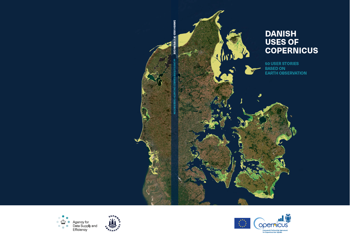
To showcase the continuously growing usage and application of satellite data (emphasizing Copernicus Sentinel data) in Denmark and internationally, 50 different user stories has been collected in this new use case catalogue entitled ‘DANISH USES OF COPERNICUS – 50 USER STORIES BASED ON EARTH OBSERVATION’.
As the largest downstream EO service provider in Denmark, we are proud and happy to have contributed to 15 of the 50 use case stories included in the catalogue. It illustrates the diversity of our solutions and our capacity as frontier innovators of novel EO data technology – and we are pleased to share our stories and experience in this catalogue.
Click the links below to read our use case stories or download the catalogue to explore all 50 use cases:
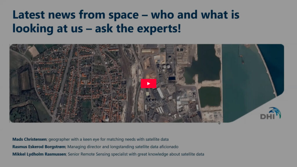
VHR QA seminar
February 11, 2021 from 10:00 - 10:45 CET
Last year we hosted a live Q/A session for Danish stakeholders, and this year, due to popular demand, we will follow up with this, our very first, live Q/A session targeting a global audience.
In this webinar you will get an opportunity to get answers to all your unanswered questions about Very High Resolution (VHR) satellite data. What satellites are out there in space? What can they do? When do they pass by above us? What does the data cost? – this, and much more, you will get answers to in this QA session.
So much is going on in space these years, so before we open the floor for all your questions, you will be equipped with the latest information about data types, development and application opportunities when our expert, Rasmus Borgstrøm, presents the ‘Latest news from Space’ for the first 10 minutes. Did you know, for example:
All this you will learn much more about, but if you can’t wait, you can already learn more about satellites and application potential on http://satellites.dk/.
After the introduction you will get the opportunity to ask ALL your questions when our two passionate satellite data experts, Rasmus Borgstrøm and Mikkel Lydholm Rasmussen, will be ready to answer your questions for half an hour.
Why should I participate?
The Q/A session will take place on February 11, 2021, from 10:00 – 10:45 CET. Sign up today to secure your spot at the webinar by following the registration link below.
We are looking forward to your participation!

Earth observation infrastructure is developing rapidly these years, with increasingly more satellites being send into space, some of these in large swarms of entire microsatellite constellations. Consequently, satellite remote sensing is not limited by a lack of data, but rather our capacity to make best use of all the data we have available already. The key is to build autonomous and intelligent systems on top of satellite imagery data streams, with a view to detect, analyse and process images faster and more accurately than ever before.
Imagine the powerful combination of a living digital library that documents every inch of our planet on a daily basis, and the tools and platforms allowing us to extract meaningful insight from this library at scale. We increasingly apply deep learning-based approaches to serve this purpose, allowing us to build effective and scalable solutions that serves unique insight about the change and dynamics on our planet. We use deep learning to underpin the information needs and requirements within many different sectors, including:


Application Deadline:
31 January 2021
Expected start date::
ASAP
Country:
Denmark
City:
Hørsholm
Job type:
Software development and IT
Working hours:
Full-time
Contact person:
Jonas Blüthgen Sølvsteen
josl@dhigroup.com
Are you passionate about developing software to make data flow efficiently and reliably using newest technologies? Do you want to join us turning terabytes of satellite imagery into information through advanced and performance-optimized algorithms - daily?
At DHI GRAS, we connect Earth observations from space with people. We know satellites and how to refine and combine their data to bring out insights about environment, water, renewable energy, urban development and many more areas of our physical environment to the public and clients all over the world.
We are a young and international bunch of remote sensing experts, data scientists, software developers and project leaders, many with science background and all with curiosity to learn and make use of the ever-growing capabilities of satellites and newest technologies. We have 20 years of experience in our field and have been expanding rapidly in recent years.
With around 25 employees, DHI GRAS is at the same time a small and agile company and a global enterprise: We are the space-specialist daughter company of the larger and renowned engineering company DHI, that has offices all around the world. We are located at the group’s headquarters in Hørsholm and work closely together with our colleagues in Denmark and abroad to share knowledge, experience, and supporting functions.
See our projects to get a sense of what we do: www.dhi-gras.com/projects.
Responsibilities and challenges
The main responsibilities and challenges in the job are:
EOatDHI part of the DHI GROUP
gras@dhigroup.com
+45 4516 9100
Agern Alle 5,
2970 Hørsholm,
Denmark
CVR: 36466871