Global evapotranspiration product

Why is it important?

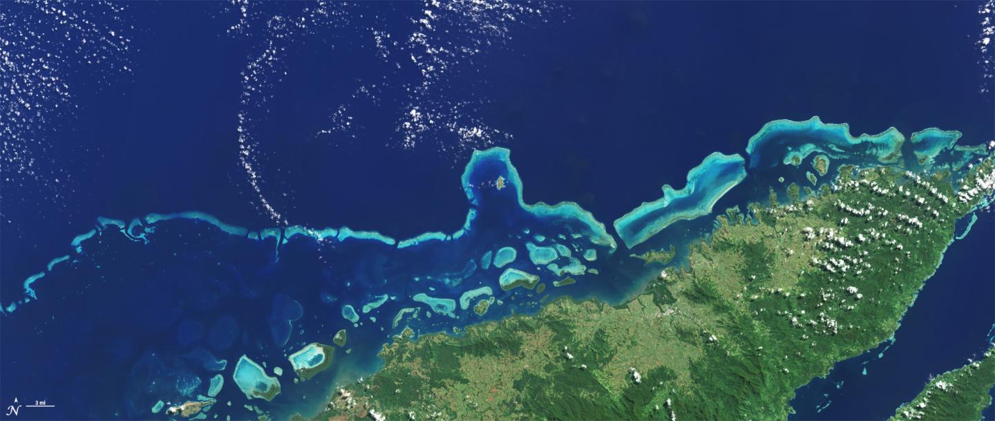
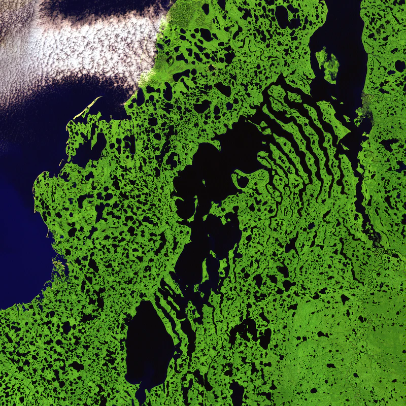
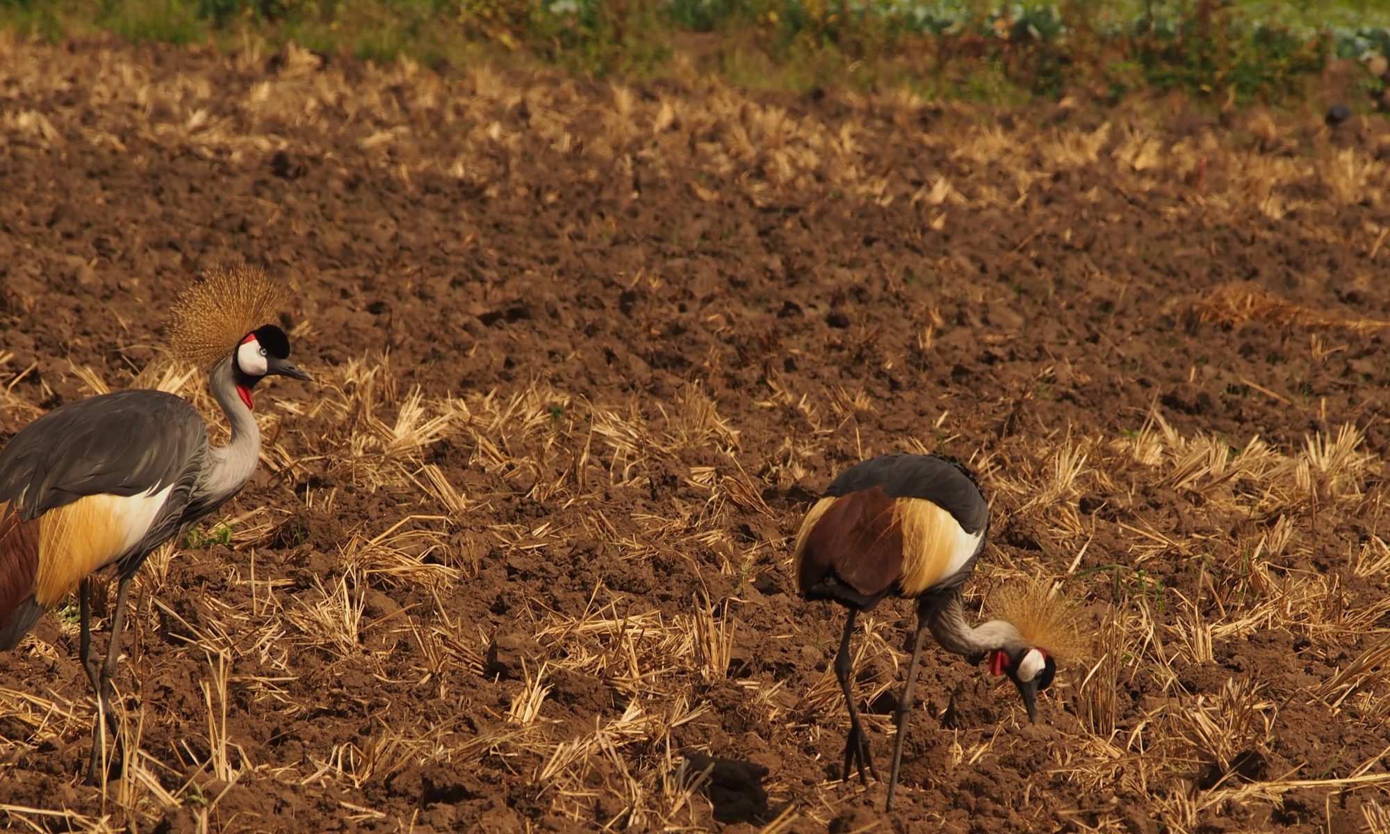
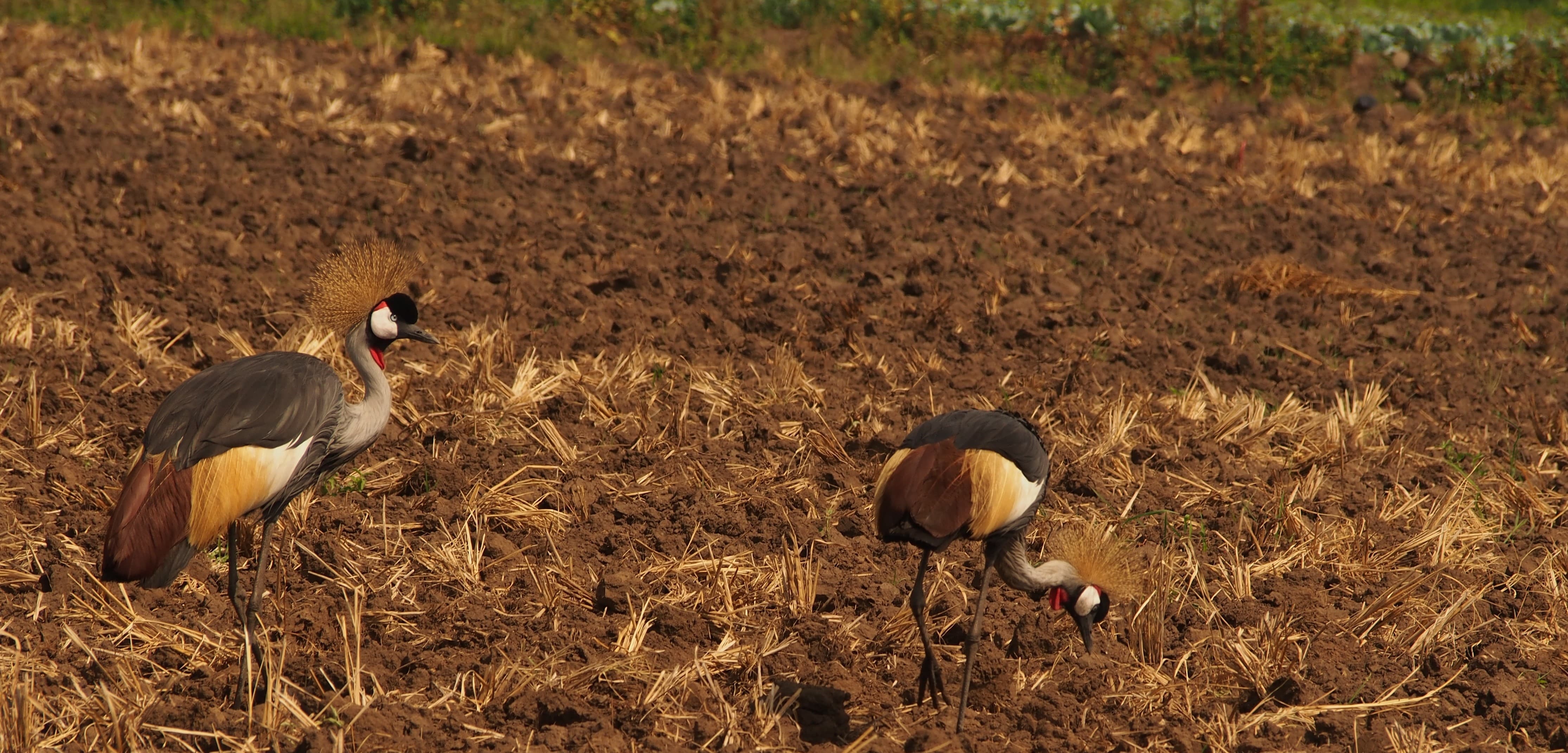
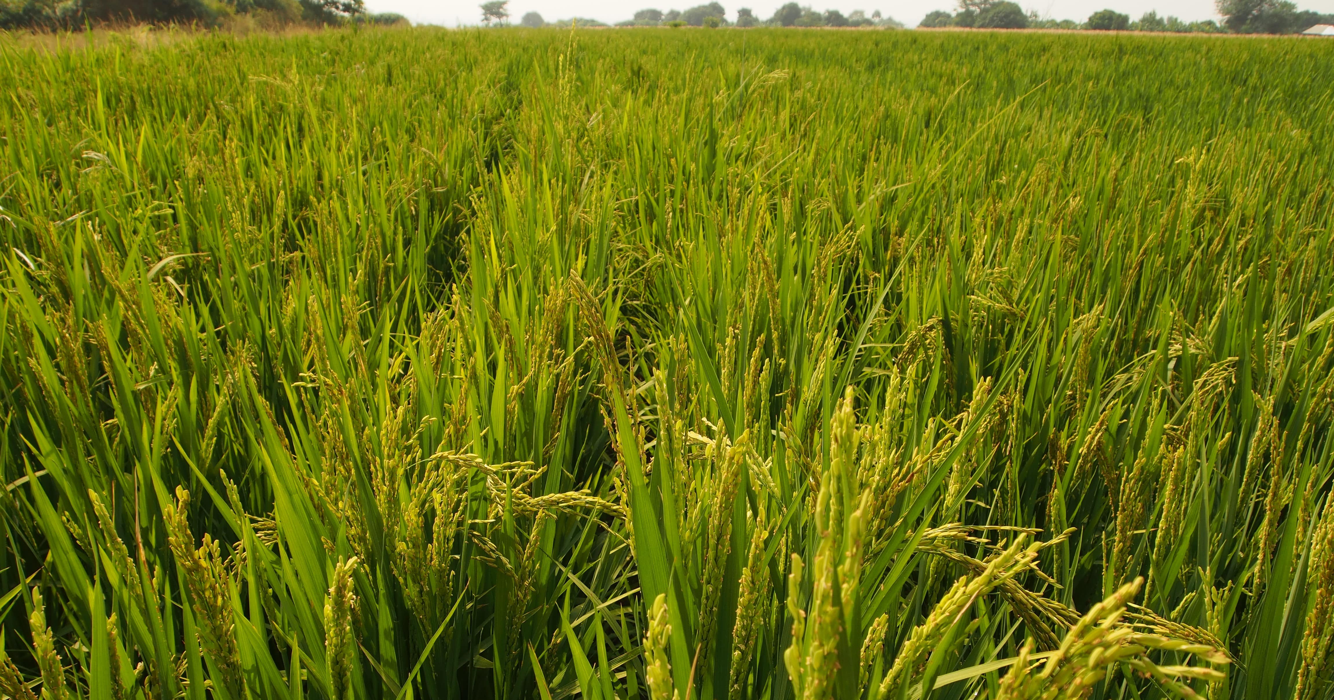
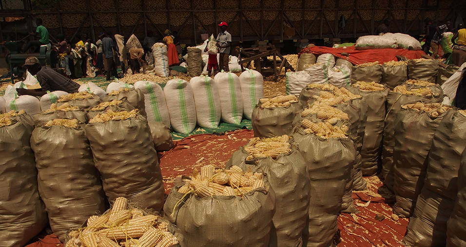
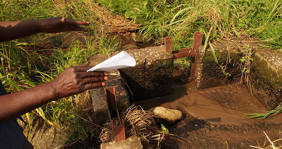
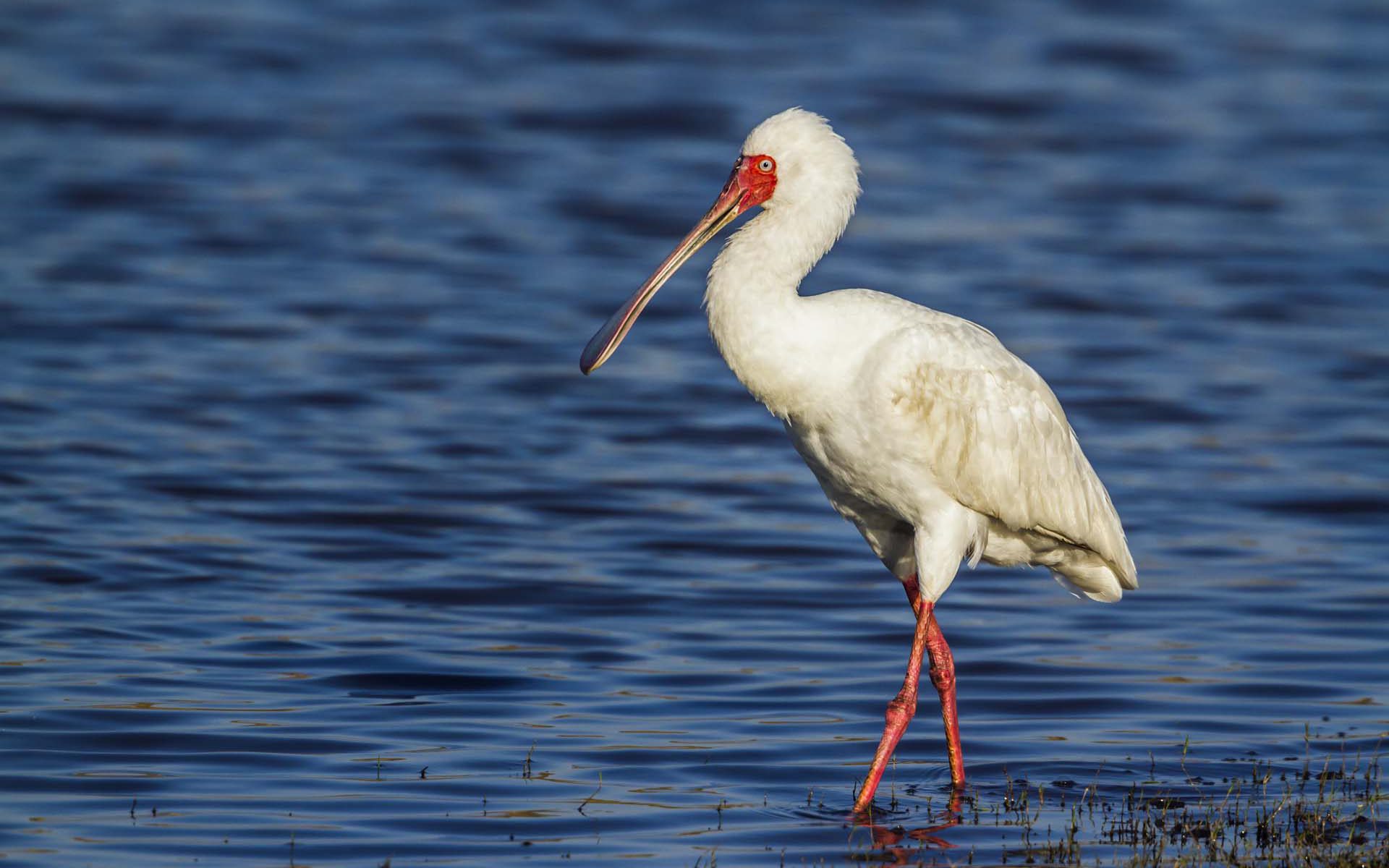
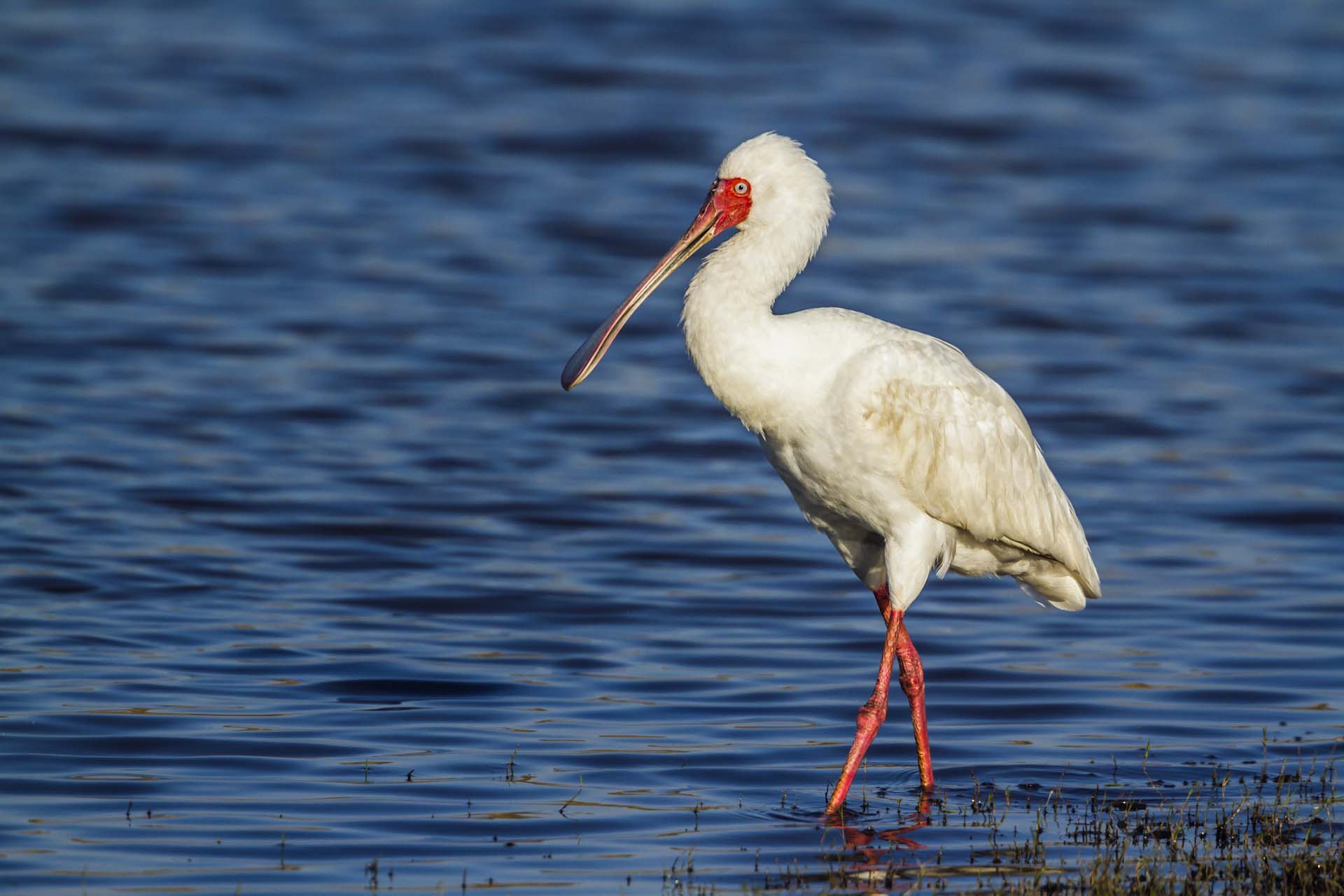
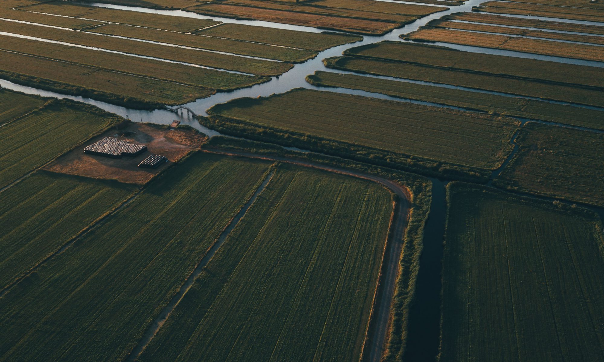
Evapotranspiration describes the transfer of water from land to atmosphere through evaporation and plant transpiration and is a key component of the global water, energy, and carbon cycles. It provides direct insight into plant water use, drought conditions, and ecosystem productivity, making it essential for agriculture, water‑resources management, and climate monitoring. Until recently, evapotranspiration information was either available only locally through field measurements or inconsistently across regions. Satellite Earth observation makes it possible to monitor evapotranspiration globally, repeatedly, and in a consistent way, providing a common information basis for decision‑making across borders and sectors.

Project highlights:

The product delivers evapotranspiration information at global scale using satellite Earth observation, providing consistent coverage across continents and climatic zones that cannot be achieved through ground‑based measurements alone.
Regular satellite observations make it possible to track evapotranspiration over time, supporting monitoring of seasonal dynamics, long‑term trends, drought development, and changes in land and water use.
The resulting evapotranspiration products are designed for operational use and made openly available through the Copernicus programme, enabling applications in agriculture, hydrology, climate analysis, and ecosystem assessment.

In more detail..

The global evapotranspiration product was developed to operationalise how satellite Earth observation can be used to monitor land–atmosphere water exchanges in a consistent and scalable way. The work forms part of the scientific and technical foundation for the Copernicus Land Monitoring Service evapotranspiration products, which provide global, regularly updated information on actual evapotranspiration.

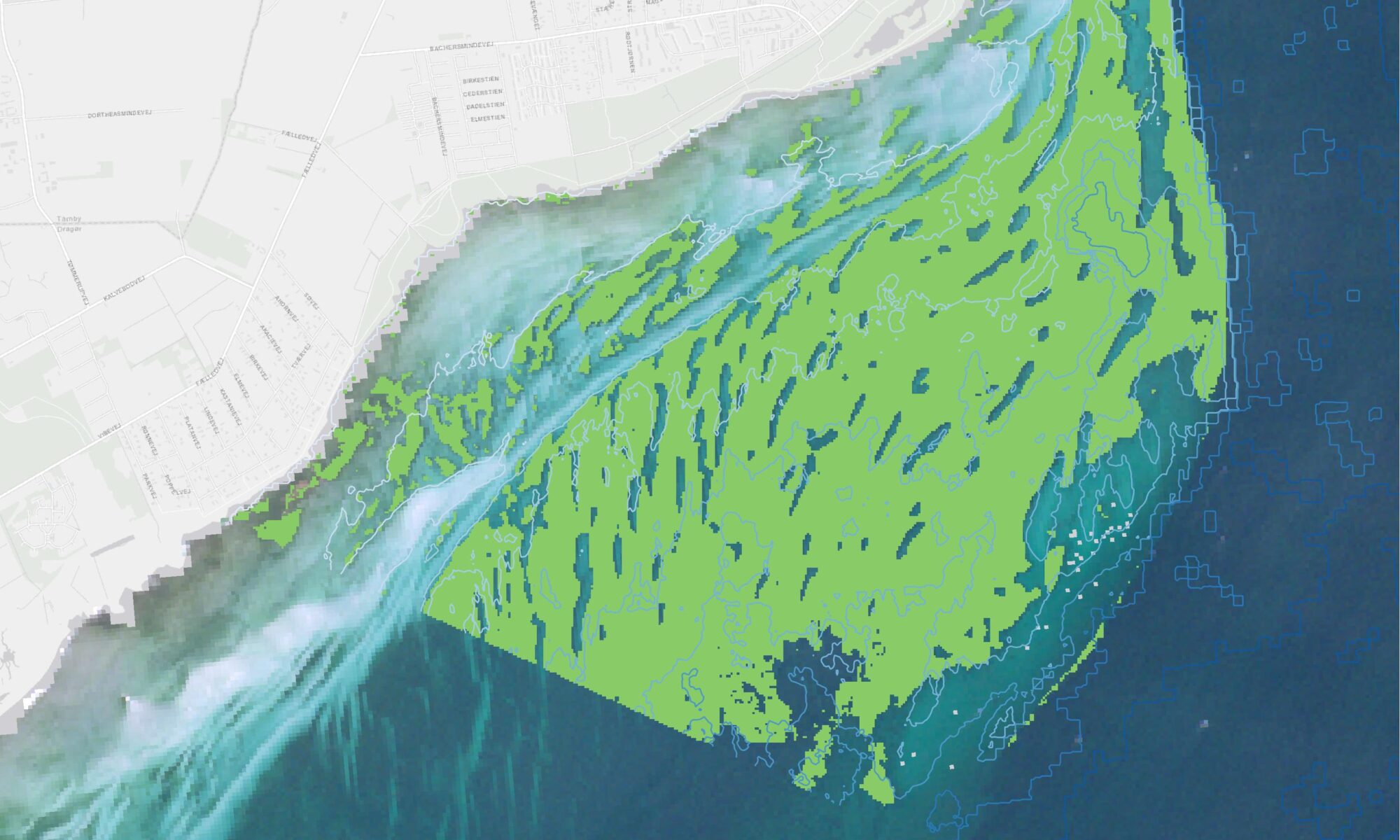
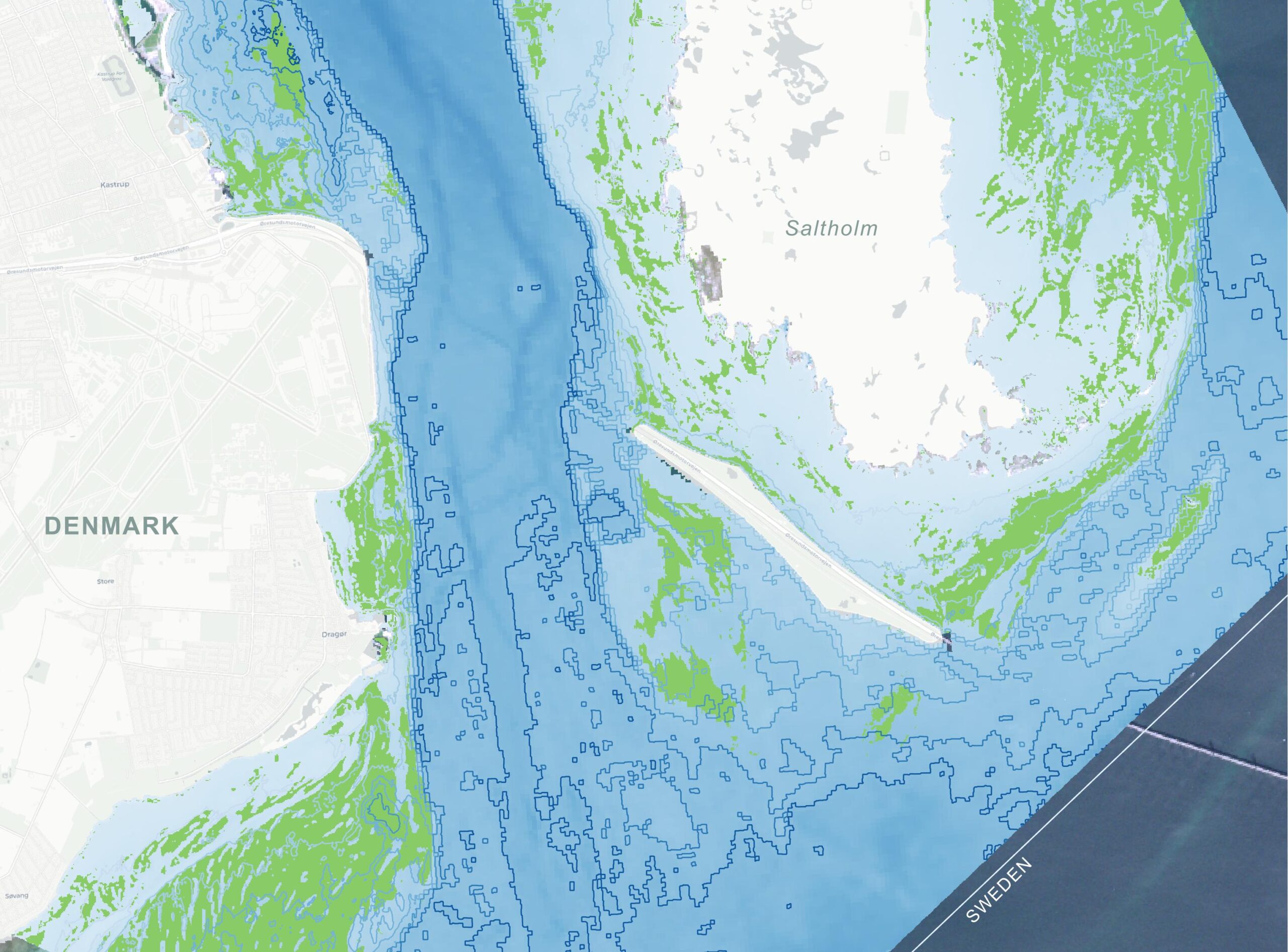
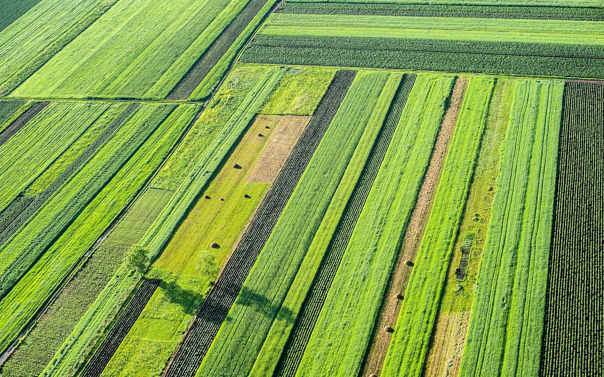
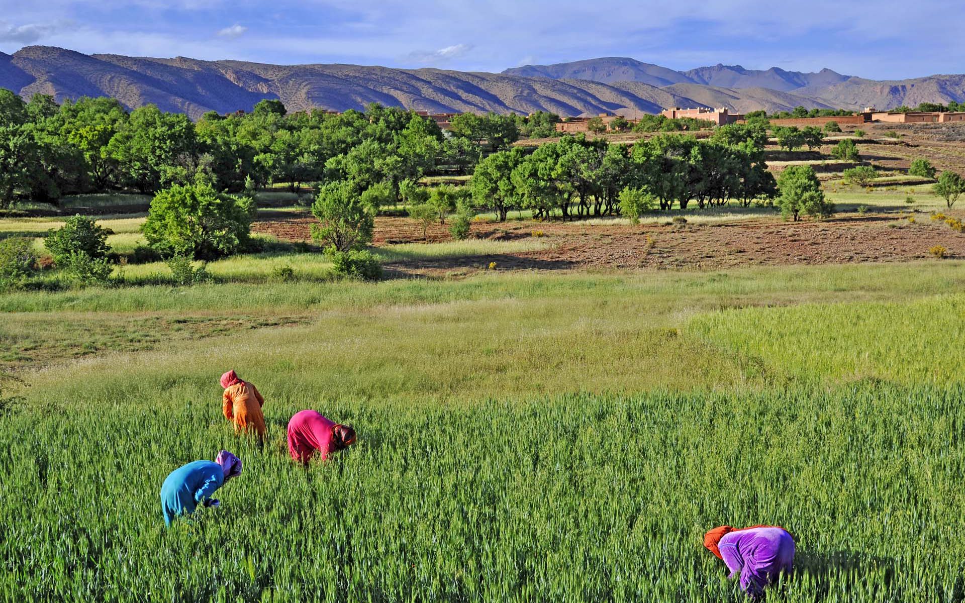
Using satellite observations combined with physically based modelling, the product allows evapotranspiration to be estimated across diverse environments, from agricultural areas to natural ecosystems. Satellite data ensure consistent spatial coverage and long‑term continuity, while modelling ensures that the estimates are physically meaningful and comparable across regions.

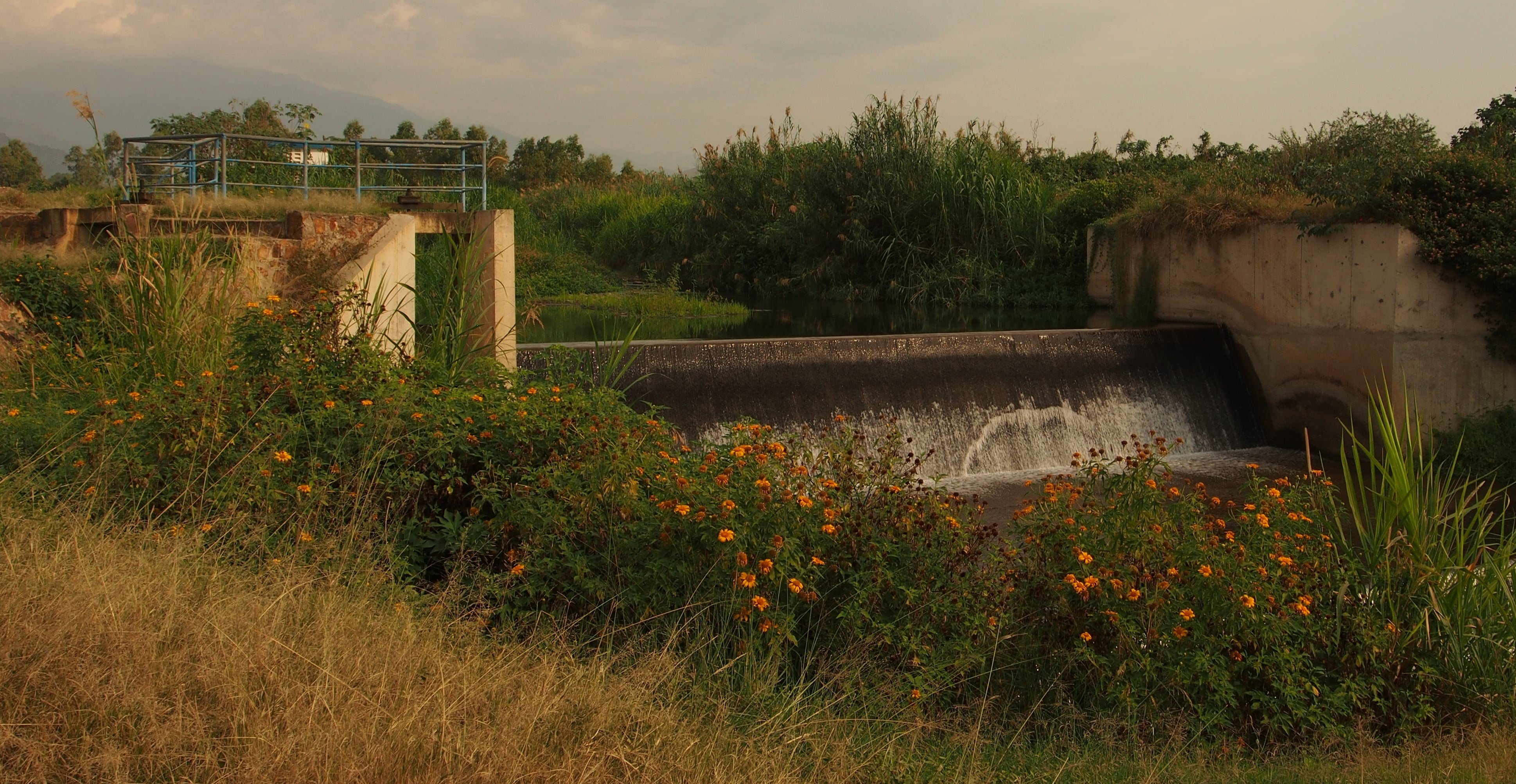
The resulting information supports a wide range of applications, including drought monitoring, assessment of water availability, evaluation of irrigation efficiency, and analysis of ecosystem response to climate variability. By moving from research‑oriented development to an operational global product, the project demonstrates how Earth observation can provide trusted, decision‑ready information on a key variable in the global water cycle.

Click the link below to access the product through the Copernicus Land Monitoring Service.

Joint Research Centre

The product has been developed through a collaborative effort involving experts from DHI, the Spanish National Research Council (CSIC), the Royal Meteorological Institute of Belgium (RMI), VITO Remote Sensing, and HYGEOS. The work was funded by the European Commission under a contract with the Joint Research Centre (JRC) and forms part of the development of operational Earth‑observation products within the Copernicus programme.

Earth Observation Centre of Excellence part of the DHI GROUP

info@dhigroup.com
+45 4516 9200

Agern Alle 5,
2970 Hørsholm,
Denmark

CVR: 36466871

MCSAV – Satellite‑based mapping and monitoring of coastal ecosystems at scale (Malaysia)

Why is it important?

Reliable information on the distribution and condition of coastal and marine ecosystems is essential for sustainable management of marine resources. Habitats such as mangroves, coral reefs, and submerged aquatic vegetation play a critical role in biodiversity, fisheries, and coastal protection, yet they are often difficult to monitor consistently using traditional field‑based surveys alone. In tropical coastal regions, monitoring is further challenged by large geographic extents, limited access, and high costs, which can result in fragmented or outdated information. Satellite Earth observation offers a way to overcome these limitations by providing regular, large‑area coverage that can be repeated over time. Mangroves, Corals, Submerged Aquatic Vegetation (MCSAV) addresses this gap by using satellite data to support cost‑effective, scalable, and repeatable monitoring of coastal ecosystems. By making satellite‑derived information accessible through a web‑based platform, the project supports evidence‑based marine management, helps inform area‑based protection and planning, and contributes to more sustainable use of coastal and marine resources.

Project highlights:

MCSAV delivers regular, large‑area coastal habitat maps using Copernicus Sentinel‑2 imagery, enabling consistent mapping of mangroves, coral/rubble, sand, and submerged aquatic vegetation across extensive tropical coastal zones that cannot be effectively covered by field surveys alone.
A pre‑trained deep‑learning model forms the backbone of the system, enabling automated habitat classification. A built‑in “human‑in‑the‑loop” workflow allows local experts and communities to refine results using field observations, improving accuracy while retaining ease of use for non‑specialist users.
The cloud‑based platform provides an interactive environment where users can generate, visualise, validate, and export habitat maps in standard GIS formats. This supports monitoring of change over time and practical application in conservation planning, MPA management, and sustainable use of coastal resources.

In more detail..

Mangroves, Corals, Submerged Aquatic Vegetation (MCSAV) aims to make large‑scale coastal and marine ecosystem monitoring possible using satellite Earth observation. Important marine habitats such as mangroves, coral reefs, and submerged aquatic vegetation are often difficult to survey consistently using field‑based methods alone, especially in regions where access is limited and monitoring resources are constrained.

The project uses data from the Copernicus Sentinel‑2 satellites, which provide frequent, freely available imagery suitable for mapping shallow coastal environments across large areas. Satellite images are analysed using automated image analysis and machine‑learning techniques, making it possible to generate repeatable habitat maps and to monitor changes over time.

MCSAV was developed by DHI together with partners and collaborators, including Reef Check Malaysia and Stop Fish Bombing Malaysia, as part of the 3rd Call of the UNDP Ocean Innovation Challenge.

The project combines technical Earth‑observation expertise with local knowledge to ensure that the resulting information is both scientifically robust and relevant for practical use.

A key feature of MCSAV is its delivery through a web‑based platform designed for a broad range of users, including authorities, planners, NGOs, and local stakeholders. The platform allows users to explore habitat maps, visualise changes over time, and use the results as input to marine management, conservation planning, and area‑based protection initiatives.< Overall, MCSAV demonstrates how satellite data can be transformed into accessible, decision‑ready information, supporting more effective marine ecosystem management and contributing to sustainable use of coastal and marine resources in line with broader blue‑economy and conservation objectives.

UNDP Ocean Innovation Challenge

DHI was selected as one of four innovators in the third Ocean Innovation Challenge (OIC) of the United Nations Development Programme (UNDP) to receive financial and incubator support.

Earth Observation Centre of Excellence part of the DHI GROUP

info@dhigroup.com
+45 4516 9200

Agern Alle 5,
2970 Hørsholm,
Denmark

CVR: 36466871

Integrated Marine Monitoring Denmark – areal distribution of submerged aquatic vegetation

Why is it important?

Danish marine environmental monitoring has traditionally relied heavily on ship based data collection, which is costly and provides limited temporal and spatial coverage. This makes it challenging to assess ecological status consistently and efficiently across Denmark’s marine waters, particularly in a policy context where reporting obligations require robust, repeatable, and spatially explicit assessments. On behalf of the Danish Agency for Green Transition and Aquatic Environment, DHI is establishing an integrated monitoring approach that combines modelling, Earth observation (EO) and survey data. This integrated marine monitoring (IMM) framework provides a stronger, more scalable foundation for national ecological status assessment, enabling continuous monitoring, improved spatial coverage, and support for reporting under European environmental directives. One aspect of IMM focuses on efficient, repeatable mapping of submerged aquatic vegetation (SAV) at scale.

Project highlights:

Use of free Copernicus Sentinel‑2 imagery to provide nationwide, high‑resolution (10 × 10 m) mapping of submerged vegetation, including seagrasses and other marine macrophytes. Frequent satellite revisits enable consistent coverage of all Danish coastal waters, overcoming the spatial and temporal limitations of traditional surveys.

The system applies deep‑learning‑based classification models within a largely automated processing chain, transforming satellite imagery into ready‑to‑use habitat maps. Automation reduces manual workload, increases objectivity, and enables regular updates needed for national‑scale monitoring and long‑term trend analysis.

EO‑derived marine vegetation maps from IMM Denmark are input to other environmental assessment frameworks, where they are combined with other sources of information and in the longer term support digital twins of the marine environment.

In more detail..

IMM SAV is developed as part of the broader national marine monitoring project led by DHI. The project delivers a repeatable, scalable method for mapping the spatial extent of submerged aquatic vegetation, including rooted plants such as eelgrass and macroalgae.

The system is built on Copernicus Sentinel‑2 imagery, offering 10 × 10 m spatial resolution, frequent revisit times, and a consistent historical archive dating back to 2016. This enables nationwide coverage and supports both retrospective analysis and continuous monitoring as new satellite data become available. For selected areas, the satellite‑based approach is complemented by aerial imagery, providing higher spatial detail where needed while acknowledging its more limited temporal availability.

Mapping is performed using machine‑learning and transfer‑learning techniques, with models trained specifically for local coastal conditions. A growing central training dataset allows model performance to improve over time, while a multi‑temporal analysis approach increases robustness by combining information from multiple observations instead of relying on single images.

Beyond mapping, the project supports the development of a new area‑based indicator for submerged aquatic vegetation, designed to complement existing depth‑based indicators and improve assessment in shallow coastal waters. The indicator framework is aligned with regulatory requirements and designed to respond to key environmental pressures, while remaining robust to variation in observation timing and data availability.

Strong emphasis is placed on quality assurance, validation, and documentation, ensuring that satellite‑derived vegetation products can be used operationally and integrated into routine monitoring, assessment, and reporting workflows. As such, SAV Denmark represents a mature application of Earth observation, moving beyond experimental mapping towards a stable, long‑term monitoring capability.

Danish Agency for Green Transition and Aquatic Environment

The project is funded by the Danish Agency for Green Transition and Aquatic Environment.

Earth Observation Centre of Excellence part of the DHI GROUP

info@dhigroup.com
+45 4516 9200

Agern Alle 5,
2970 Hørsholm,
Denmark

CVR: 36466871

Marine vegetation mapping in Sweden

Why is it important?

According to the EU Habitat directive and the Marine Strategy Framework Directive, member states are required to map, monitor and evaluate changes in the quality and areal distribution of different marine habitats and biotopes. Submerged aquatic vegetation (SAV), in particular eelgrass, is one of the key indicators of ecological status and environmental state of water bodies, and therefore widely used in reporting related to these directives.

Project highlights:

Copernicus Sentinel-2 imagery, novel machine learning techniques and advanced data processing to create the first spatial overview of the distribution of SAV at national scale in Sweden.

A cloud-based web-application for Sentinel-2 based SAV mapping without prior specialist knowledge Input.

A training dataset constructed with more than 30 000 manually drawn polygons to build a robust machine learning model and predict nationwide SAV.

In more detail..

In 2020 we embarked on a project together with the Swedish regional and national authorities, to combine Copernicus Sentinel-2 satellite imagery, novel machine learning techniques and advanced data processing to create the first spatial overview of the distribution of SAV at national scale in Sweden. A training dataset constructed with more than 30 000 manually labelled polygons was used to build the classification model, with which more than 3800 km2 of the underwater habitats, of the entire shallow coastal zone of Sweden, was mapped. Applying Sentinel-2 imagery from 2019-2020, the resulting classification, in 10-meter spatial resolution, provides nationwide coverage and detailed insight into the status of aquatic vegetation in the shallow water areas of Sweden.

Moreover, in close coordination with the key stakeholders, we have developed a cloud-based web-application that enables individual counties along the Swedish coast to perform their own SAV mapping without prior specialist knowledge. This ties into a long-term objective of the counties in Sweden to easier comply with national monitoring and reporting requirements, and thereby for Sweden to better comply with international requirements at EU level.

The project outcome and methodologies are further described in the following peer-reviewed article:

Huber, Silvia. et al. (2021), Novel approach to large-scale monitoring of submerged aquatic vegetation: A nationwide example from Sweden. Integrated Environmental Assessment and Management.

Länsstyrelsen Västerbotten

Länsstyrelsen Västerbotten, on behalf of the Swedish Agency for Marine and Water Management.

Earth Observation Centre of Excellence part of the DHI GROUP

info@dhigroup.com
+45 4516 9200

Agern Alle 5,
2970 Hørsholm,
Denmark

CVR: 36466871

AI4Water: Evapotranspiration

evapotranspiration Satellite data analysis SEN-ET

Why is it important?

In Uganda, irrigation development contributes to food security, poverty alleviation and economic growth by using water sustainably.

Satellite remote sensing of evapotranspiration (ET) is an essential part of global observation systems. It provides inputs for agriculture, water resources management, weather forecasts, climate studies and many other applications. Easy access to reliable estimations of ET is a key requirement within these domains. When ET is successfully estimated at high resolution it can map crop water stress at field scale.

Project highlights:

Developing and implementing an open-source AI algorithm that merges optical, thermal and meteorological data.

The ability to get information on water stress levels for farms in Uganda. Due to the resolution, we can provide evapotranspiration information  at farm level 

Better insights can lead to 30% less water use for the same yield.

Mubuku, Western Uganda
The area holds close to 2000 hectares of smallholder farms watered by drainage channels
The main crops grown are maize, rice, onions and mangos
The purpose is to find out if crops are overwatered or under stress

In more detail..

This project aims to develop and roll-out a novel algorithm for obtaining evapotranspiration and crop water stress at farm level for a large national irrigation scheme in Uganda.

The site chosen for this project is Mubuku in the Kasese District.

It is expected that the project can lead to 30% less water use for the same yield, which would greatly benefit the local community and farmers.

Since the code will be open source the project can pave the way for better irrigation in drought prone countries.

The project is done in collaboration with our partners, the Ugandan geo-information company, Geo Gecko.

Microsoft and National Geographic AI for Earth Innovation Grant:

A new, joint grant program that will challenge environmental issues of the 21st century with the most advanced technologies available today.

“AI for Earth Innovation” grants will fund new solutions that leverage AI and cloud technologies to monitor, model and manage Earth’s natural resources.

Earth Observation Centre of Excellence part of the DHI GROUP

info@dhigroup.com
+45 4516 9200

Agern Alle 5,
2970 Hørsholm,
Denmark

CVR: 36466871

Monitoring agricultural fields with satellite images

Satellite data analysis remote sensing earth observation Monitoring agricultural fields

How we helped:

Machine Learning and Data Fusion for crop-type monitoring. By building a likelihood model based on timing of the main crop harvest, the timing of parcel tillage after the main harvest and the field greenness in the September period to monitor the presence of catch crops.

Project highlights:

Building a national operating system for deriving agricultural parameters based on time series of both SAR and optical satellite data

Development of a user friendly web viewer for visualizing data and results allowing the user to search for specific field parcels and associated attribute information

Analysing time series based on advanced Machine Learning methods and data fusion for crop monitoring and likelihood model for monitoring of harvest and catch crops

In more detail..

The Danish Agricultural Agency is today performing control visits to field parcels across the entire country, to check if farmers report correctly on their crop types and farm management practices related to the CAP.

This line of work constitutes a significant work load and involves many field visits. The Danish Agricultural Agency needed a solution to check if farmers were reporting correctly in accordance with CAP requirements while at the same time reducing the amount of time spent on control visits.

All satellite data and results were presented on a web viewer developed to meet the client’s needs for assessing the satellite-derived information to be used in their CAP monitoring.

In short, we provided the Danish Agricultural Agency with:

Danish Agricultural Agency:

The staff of the Danish Agricultural Agency, a total of approximately 1,200, strives countrywide to create the optimal conditions for sustainable growth and green transformation in the fields of Agriculture and Plants and horticulture.

They administer and provide grants for agricultural production, environmental and ecosystem improvements, development programmes, grants for minor projects, and administer subsidies for certain types of export.

Earth Observation Centre of Excellence part of the DHI GROUP

info@dhigroup.com
+45 4516 9200

Agern Alle 5,
2970 Hørsholm,
Denmark

CVR: 36466871

Wind resource mapping and analysis in Vietnam

wind resource mapping

How we helped:

GIS assessment for wind resource mapping, such as existing grid infrastructure, wind speed, land use, topology, proximity to protected areas or population density as an energy planning. Allowing the Government of Vietnam to integrate renewable energy into the energy system. Providing a national benefit and achieving the long-term objectives of reducing GHG emissions.

Project highlights:

Mapping of high-potential wind energy clusters for potential renewable energy development

Provision of different scenarios based on the relative share of importance of the different exclusion criteria (e.g. land use)

Evaluation of technically feasible potential using economic criteria, in this case additional costs associated with infrastructure proximity and projected annual wind power generation

In more detail..

The Government of Vietnam is pursuing the integration of renewable energy into the energy system for the national benefit to economically optimize and achieve the long-term objectives of utilizing renewables and reducing the GHG emissions.

In this context, DHI GRAS conducted a GIS assessment applying different screening criteria, such as existing grid infrastructure, wind speed, land use, topology, proximity to protected areas or population density as an energy planning exercise. The assessment provided maps of potential wind power project development sites which were included into an energy model, to provide input to the power system planning practices in Vietnam. An evaluation of the technically feasible potential was done using economic criteria, in this case additional costs associated with infrastructure proximity and projected annual wind power generation.

The results of the mapping and modelling study were presented at a workshop in Hanoi with more than 30 participants including government officials, consultants and experts in the renewable energy sector. The consultation workshop was followed by a 1-day GIS-based training on renewable energy resources mapping analysis, using exclusion criteria on different layers of infrastructure, land use and administrative maps.

The project was carried out by Ea Energy Analyses in collaboration with DHI GRAS and the Institute of En-ergy (Viện Năng lượng) within the framework of the Danish-Vietnamese cooperation between the Danish Energy Agency and the Ministry of Industry and Trade of Vietnam.

The funding of the project was provided by the German Corporation for International Cooperation (GIZ) GmbH. ​

Earth Observation Centre of Excellence part of the DHI GROUP

info@dhigroup.com
+45 4516 9200

Agern Alle 5,
2970 Hørsholm,
Denmark

CVR: 36466871

Earth Observation for Sustainable Development: Water Resources

Earth Observation for Sustainable Development

Why is it important?

Benefit from the utility of EO services in response to stakeholder requirements for water resources monitoring and management at local to basin scales.

Project highlights:

Following a systematic, user driven approach to meet longer-term, strategic geospatial information needs in the individual developing countries, as well as international and regional development organizations

Provision of EO demonstrations in Africa (Sahel, Africa Horn and Zambezi), Asia (Myanmar and Lao PDR) and Latin America (Bolivia and Peru), and within water related operations of major IFI’s including World Bank, Asian Development Bank, Inter-American Development Bank and the Global Environmental Facility

Advancing the current status of the adoption, progressive transfer and mainstreaming of EO-based information services as a standard management support tool within development operations at the national and international level

Director & Component 1 Director,
Hydro-Informatics Centre (HIC) &
Ayeyarwady Integrated River Basin Management Project
Prof. Dr. Khin-Ni-Ni Thein

Myanmar is vulnerable to seasonal floods and water related extreme weather events, which has led to establish a National Integrated Flood Management Platform under the National Water Resources Committee (NWRC).

Our finding is that seasonal information on flood dynamics and patterns are of high importance for planning- and management purposes in Myanmar. Such information is currently not available on a large geographical- and time scale, and that is where Earth Observation really adds value.

In more detail..

Satellite Earth Observation (EO) technology has a tremendous potential to inform and facilitate international development work.

EO4SD — Earth Observation for Sustainable Development — is an ESA initiative to support the uptake of EO-derived information in sustainable development, and with a focus on top-priority thematic areas including water resources management.

Since 2008, the European Space Agency (ESA) has worked together with International Financing Institutions (IFIs) and their client states to harness the benefits of EO in their operations and resources management.

Specifically, for water resource management the EO4SD will seek to demonstrate the benefits and utility of EO services in response to stakeholder requirements for water resources monitoring and management at local to basin scales. The EO4SD project started in 2016 and will end in autumn 2019.

Some of the key water related priority areas where EO-based geo-information is needed include:


Earth Observation for Sustainable Development:​

Earth Observation for Sustainable Development (EO4SD)– is an ESA initiative which aims to achieve a step increase in the uptake of satellite-based environmental information in the IFIs regional and global programs.

It will follow a systematic, user-driven approach in order to meet longer-term, strategic geospatial information needs in the individual developing countries, as well as international and regional development organizations.

Earth Observation Centre of Excellence part of the DHI GROUP

info@dhigroup.com
+45 4516 9200

Agern Alle 5,
2970 Hørsholm,
Denmark

CVR: 36466871

Earth Observation for Sustainable Development: Agriculture and Rural Development

Rural development

Why is it important?

Enhances awareness and uptake of EO-based geo-information to support worldwide agricultural monitoring and management tasks. Providing insights in agriculture and rural development all around the world.

Project highlights:

Increase awareness and uptake of information derived from satellite imagery in regular development operations at national and international level

Provide capacity training to project teams in client states for remote sensing and GIS

Deliver EO-derived information to project teams supporting sustainable land management

IAP Food Security Ethiopia Project Manager ,
UNDP Ethiopia

Dr. Tesfaye Haile Dargie

Our cooperation with DHI GRAS on the development of low-cost monitoring systems, based on the application of open source GIS software and freely available optical and radar satellite images has exceeded our expectations.

DHI GRAS has with great skill and user-friendliness delivered a hands-on approach to using freely available data and technology to carry out participatory forest monitoring in large tropical forest areas. The combination of desk analyses and field verification creates a powerful and efficient tool, which has been an invaluable input to our own organisation as well as our partners in Latin America.

In more detail..
Satellite Earth Observation (EO) technology has a tremendous potential to inform and facilitate international development work.

EO4SD — Earth Observation for Sustainable Development — is an ESA initiative to support the uptake of EO-derived information in sustainable development, and with a focus on top-priority thematic areas including agriculture and rural development.

Since 2008, the European Space Agency (ESA) has worked together with International Financing Institutions (IFIs) and their client states to harness the benefits of EO in their operations and resources management.

DHI GRAS contributes to EO4SD with indicators for the monitoring of sustainable land management interventions in Burkina Faso, Ethiopia and Morocco. The EO4SD project started in 2016 and will end in autumn 2019.

The project aims to demonstrate that the effectiveness of the MDB’s technical assistance interventions and financial investments in agriculture sector can be measurably enhanced by using EO-derived information to support:

Earth Observation for Sustainable Development:

Earth Observation for Sustainable Development (EO4SD)– is an ESA initiative which aims to achieve a step increase in the uptake of satellite-based environmental information in the IFIs regional and global programs.

It will follow a systematic, user-driven approach in order to meet longer-term, strategic geospatial information needs in the individual developing countries, as well as international and regional development organizations.

Earth Observation Centre of Excellence part of the DHI GROUP

info@dhigroup.com
+45 4516 9200

Agern Alle 5,
2970 Hørsholm,
Denmark

CVR: 36466871

InnoWind – wind energy efficiency

wind energy mapping

Why is it important?

The improved services provided by Danish companies will decrease the cost of wind energy development by significantly increasing the precision of wind resources assessments and lowering uncertainty in the planning phase.

Project highlights:

Develop novel algorithms to derive aerodynamic surface properties from Copernicus data and test against ground truth at wind energy sites

Integrate satellite-based map layers seamlessly in flow models operated by industrial end-users

Document the scientific and financial impact of new satellite-based map layers for wind resource assessment

In more detail..

The InnoWind project has been funded by the Innovation Fund Denmark and is being conducted by DHI GRAS together with DTU Wind Energy and DTU Space, as well as wind industry leaders Vestas, EMD International and Vattenfall. The project is expected to run from 2017 to 2020.

InnoWind gives Danish companies a competitive edge in a rapidly growing market of wind resource assessment by equipping them with more accurate tools than competitors.

The improved services provided by Danish companies will decrease the cost of wind energy development by significantly increasing the precision of wind resources assessments and lowering uncertainty in the planning phase.

This will benefit energy systems planning and have a positive effect on financing of wind farms. Additionally, public entities establishing wind atlases will benefit from high quality model inputs; this is particularly relevant for emerging wind energy markets where such atlases are currently absent.

InnoWind will provide added value to end-users by delivering:

Innovation Fund Denmark:

The overall aim of Innovation Fund Denmark is to support the development of knowledge and technology, including advanced technology, in order to strengthen research and innovative solutions that may benefit growth and employment in Denmark.

Sea and Coast monitoring

Earth Observation Centre of Excellence part of the DHI GROUP

info@dhigroup.com
+45 4516 9200

Agern Alle 5,
2970 Hørsholm,
Denmark

CVR: 36466871