Mapping and monitoring coastal dynamics from space based on historical and recent satellite imagery to

Coastline Mapping
Mapping and monitoring coastal dynamics from space
Why is it important?
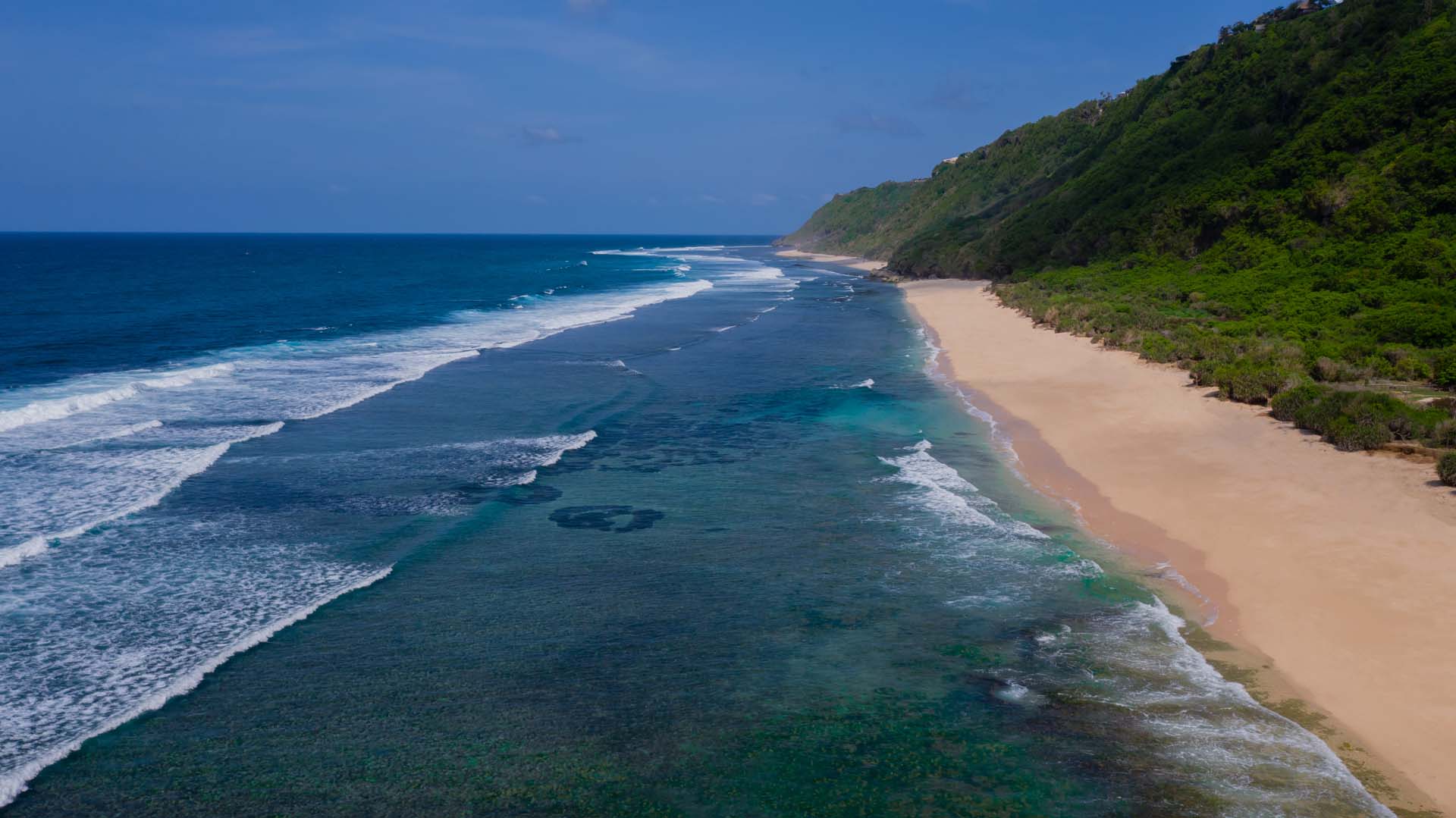
Based on historical and recent satellite imagery we can extract information about coastal dynamics, providing estimations of coastline changes (meters/year) caused by factors such as sand erosion/deposition, infrastructure developments.
Satellite data dates back to the 1960’s and provides a detailed level of information about changes in shoreline around the world. This type of analysis provides valuable information about erosion and deposition of sand and sediments, development of vegetation cover in the coastal zone and information on coastal structures and coastal protection.
How does it work?
Satellite data dates back to the 1960’s and provides a detailed level of information about changes in shoreline around the world. This type of analysis provides vulnerable information about erosion and deposition of sand and sediments, development of vegetation cover in the coastal zone and information on coastal structures and coastal protection.
What you get!
Extracted coastlines from different years or seasons provided as ready to use in any GIS or coastal modeling software
Digital maps of the entire coastal zone providing information about vegetation, sediment, coastal protection, constructions etc.
Imagery from different years with an optimized geocode allowing you to evaluate your area of interest. Images can be added into your webGIS or desktop GIS
Typical customers?
Coastal construction companies use it to document the environmental impact, for optimal site identification and to identify baseline conditions
Coastal managers use it for coastal planning and identification of areas affected by erosion or deposition, for environmental impact assessment and monitoring
Coastal zone planners and managers benefit from continuous shoreline monitoring in order to assess the coastal dynamics in near real time on frequent basis
Specifications
Coastlines are delivered in ready-to-use vector data format
Analysis of coastline changes (erosion/deposition) can be reported by meters/year or area based (m2)
The coastlines can be derived down to a map scale of 1:1.000 and comes with flexible options accommodating varying budgets and specifications
Historical coastlines can be extracted all the way back to the 1960’s
Price list
The price for mapping of coastline dynamics depends on frequency and availability of imagery, the length of coastline, and the level of detail
Contact us for a quote
EOatDHI part of the DHI GROUP
gras@dhigroup.com
+45 4516 9100
Agern Alle 5,
2970 Hørsholm,
Denmark
CVR: 36466871


