High Altitude Pseudo Satellites (HAPS)

HAPS High Altitude Pseudo Satellites

Why is it important?

As a future technology, HAPS platforms will open a new market for remote sensing and surveillance. It offers disruptive and complementary applications to services enabled by satellites, terrestrial infrastructures and Remotely Piloted Aircraft Systems (RPAS), at relatively low cost.

Project highlights:

Providing detailed analysis of existing technology gaps and service limitations for  maritime activities.

Identification of system and performance requirements to explore payload components and infrastructure conforming to the requirements of the target user community

Extensive review of earth observation sensors to define a payload package consistent with user and platform specific requirements

In more detail..

Still in the early stage of development, production and operation, High Altitude Pseudo Satellites (HAPS) offers the potential to open a new market for remote sensing and surveillance in the future. HAPS operates at an altitude of approximately 20 km and can observe locations over extended time periods. This enables time critical and continuous monitoring and surveillance over specific areas of interest at relatively low cost.


In the ESA funded project ‘services enabled by HAPS complemented by satellites’, DHI GRAS explores the feasibility and capability of HAPS enabled services to extend the capabilities of satellites and Remotely Piloted Aircraft Systems (RPAS) in the domain of Earth Observation. The main objective is to propose potential services for HAPS that exploit the characteristics of the individual platforms and evaluate the maturity of payload technologies necessary to facilitate service provision.

Through an extensive stakeholder engagement process with potential end-users of HAPS enabled services within maritime operations and surveillance, we established a baseline for a system service definition and payload configuration that addresses the primary technology gaps and service limitations within target user communities. Through this analysis the client gained critical insight into the potential uptake and viability of services enabled by HAPS platforms.

EOatDHI part of the DHI GROUP

gras@dhigroup.com
+45 4516 9100

Agern Alle 5,
2970 Hørsholm,
Denmark

CVR: 36466871

Halfway mark reached for the EO4SDGs project

Halfway mark reached for the EO4SDGs project:​

28 February 2019

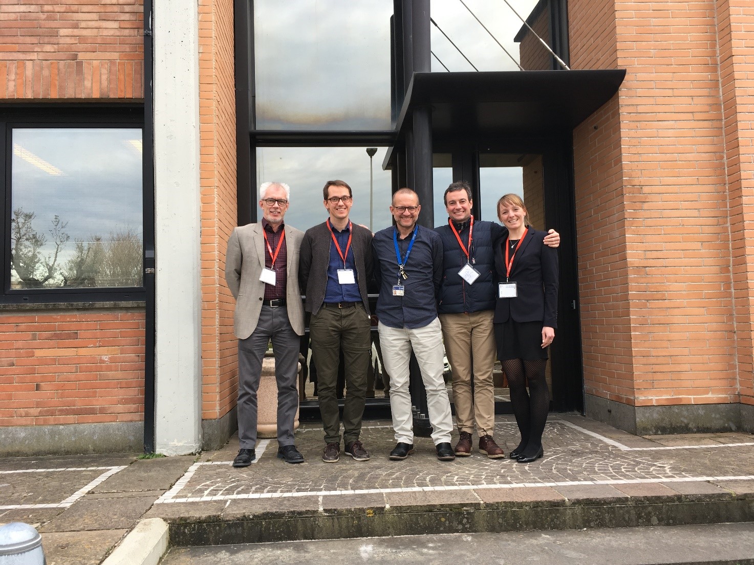
This week DHI GRAS has been meeting with Marc Paganini from European Space Agency - ESA (ESRIN) and our partners Geoville, UNEP-WCMC and DHI-UNEP to discuss how the EO for SDGs project has been progressing.

The aim of the project is to maximise the contribution of EO data to the SDG agenda by producing targeted high-quality indicator monitoring guidelines and effective outreach material, and by showcasing the usability of EO data in country demonstration studies and in dialogues with UN stakeholders.

As a follow up, DHI GRAS and ESA also visited FAO for discussions on how EO can contribute to the reporting on SDG indicator “6.4.1 Change in Water Use Efficiency over time”, which is one of the two SDG indicators that are part of the National test case for Uganda.

One main outcome has been a Policy Brief describing how EO can contribute to improvements of the SDG monitoring framework under Agenda 2030 addressed to policy makers, national statistics offices and other SDG agencies. The Policy Brief highlights 17 SDG indicators for which EO has a definite contribution.

The Policy Brief is expected to be released in April.

EOatDHI part of the DHI GROUP

gras@dhigroup.com
+45 4516 9100

Agern Alle 5,
2970 Hørsholm,
Denmark

CVR: 36466871

Earth Observation for the Sustainable Development Goals

Earth observation sustainable development goals

Why is it important?

In 2017, the global indicator framework (232 indicators) for the Sustainable Development Goals and targets of the 2030 Agenda for Sustainable Development was adopted by the United Nations, with the aim of monitoring progress, inform policies and ensure accountability.

However, data collection and information management processes are burdensome and many countries are challenged by fulfilling the required monitoring and reporting for the SDG framework.

The potential of Earth Observation techniques to address some of these issues are clear, but undersold, and the EO for SDG-project aims to maximize the contribution of EO data to the SDG agenda by producing targeted high-quality indicator monitoring guidelines and effective outreach material, and by showcasing the usability of EO data in country demonstrations studies in dialogue with UN stakeholders.

Project highlights:

Exploiting technology improvements of Earth Observation data and services to underpin the monitoring and reporting framework of the SDG’s

Supporting national stakeholders in applying EO based techniques to support, and extend, existing monitoring and reporting capabilities and promote the benefits of integrating EO in the SDG monitoring framework

Increasing uptake and awareness of EO services in support of the SDG’s to inform decision-makers about the added value and benefits of EO-based monitoring and reporting minimum impact

In more detail..

The Earth Observation for the DHI (Denmark), GeoVille (Austria) and the UN Environment World Conservation Monitoring Centre (UNEP-WCMC, UK). The project commenced in the 1st quarter of 2018 and is expected to run for 18 months.

To increase the contribution and impact of EO data on the SDG agenda the project will deliver a range of outputs, including:

European Space Agency:

The European Space Agency (ESA) is the European space programme and its mission is to explore Earth, its immediate space environment, our Solar System and the Universe.

ESA also works closely with space organisations outside Europe to develop satellite-based technologies and services, and to promote European industries.

EOatDHI part of the DHI GROUP

gras@dhigroup.com
+45 4516 9100

Agern Alle 5,
2970 Hørsholm,
Denmark

CVR: 36466871

Earth Observation for Sustainable Development: Water Resources

Earth Observation for Sustainable Development

Why is it important?

Benefit from the utility of EO services in response to stakeholder requirements for water resources monitoring and management at local to basin scales.

Project highlights:

Following a systematic, user driven approach to meet longer-term, strategic geospatial information needs in the individual developing countries, as well as international and regional development organizations

Provision of EO demonstrations in Africa (Sahel, Africa Horn and Zambezi), Asia (Myanmar and Lao PDR) and Latin America (Bolivia and Peru), and within water related operations of major IFI’s including World Bank, Asian Development Bank, Inter-American Development Bank and the Global Environmental Facility

Advancing the current status of the adoption, progressive transfer and mainstreaming of EO-based information services as a standard management support tool within development operations at the national and international level

Director & Component 1 Director,
Hydro-Informatics Centre (HIC) &
Ayeyarwady Integrated River Basin Management Project
Prof. Dr. Khin-Ni-Ni Thein

Myanmar is vulnerable to seasonal floods and water related extreme weather events, which has led to establish a National Integrated Flood Management Platform under the National Water Resources Committee (NWRC).

Our finding is that seasonal information on flood dynamics and patterns are of high importance for planning- and management purposes in Myanmar. Such information is currently not available on a large geographical- and time scale, and that is where Earth Observation really adds value.

In more detail..

Satellite Earth Observation (EO) technology has a tremendous potential to inform and facilitate international development work.

EO4SD — Earth Observation for Sustainable Development — is an ESA initiative to support the uptake of EO-derived information in sustainable development, and with a focus on top-priority thematic areas including water resources management.

Since 2008, the European Space Agency (ESA) has worked together with International Financing Institutions (IFIs) and their client states to harness the benefits of EO in their operations and resources management.

Specifically, for water resource management the EO4SD will seek to demonstrate the benefits and utility of EO services in response to stakeholder requirements for water resources monitoring and management at local to basin scales. The EO4SD project started in 2016 and will end in autumn 2019.

Some of the key water related priority areas where EO-based geo-information is needed include:


Earth Observation for Sustainable Development:​

Earth Observation for Sustainable Development (EO4SD)– is an ESA initiative which aims to achieve a step increase in the uptake of satellite-based environmental information in the IFIs regional and global programs.

It will follow a systematic, user-driven approach in order to meet longer-term, strategic geospatial information needs in the individual developing countries, as well as international and regional development organizations.

EOatDHI part of the DHI GROUP

gras@dhigroup.com
+45 4516 9100

Agern Alle 5,
2970 Hørsholm,
Denmark

CVR: 36466871
Earth Observation for Sustainable Development: Agriculture and Rural Development

Rural development

Why is it important?

Enhances awareness and uptake of EO-based geo-information to support worldwide agricultural monitoring and management tasks. Providing insights in agriculture and rural development all around the world.

Project highlights:

Increase awareness and uptake of information derived from satellite imagery in regular development operations at national and international level

Provide capacity training to project teams in client states for remote sensing and GIS

Deliver EO-derived information to project teams supporting sustainable land management

IAP Food Security Ethiopia Project Manager ,
UNDP Ethiopia

Dr. Tesfaye Haile Dargie

Our cooperation with DHI GRAS on the development of low-cost monitoring systems, based on the application of open source GIS software and freely available optical and radar satellite images has exceeded our expectations.

DHI GRAS has with great skill and user-friendliness delivered a hands-on approach to using freely available data and technology to carry out participatory forest monitoring in large tropical forest areas. The combination of desk analyses and field verification creates a powerful and efficient tool, which has been an invaluable input to our own organisation as well as our partners in Latin America.

In more detail..
Satellite Earth Observation (EO) technology has a tremendous potential to inform and facilitate international development work.

EO4SD — Earth Observation for Sustainable Development — is an ESA initiative to support the uptake of EO-derived information in sustainable development, and with a focus on top-priority thematic areas including agriculture and rural development.

Since 2008, the European Space Agency (ESA) has worked together with International Financing Institutions (IFIs) and their client states to harness the benefits of EO in their operations and resources management.

DHI GRAS contributes to EO4SD with indicators for the monitoring of sustainable land management interventions in Burkina Faso, Ethiopia and Morocco. The EO4SD project started in 2016 and will end in autumn 2019.

The project aims to demonstrate that the effectiveness of the MDB’s technical assistance interventions and financial investments in agriculture sector can be measurably enhanced by using EO-derived information to support:

Earth Observation for Sustainable Development:

Earth Observation for Sustainable Development (EO4SD)– is an ESA initiative which aims to achieve a step increase in the uptake of satellite-based environmental information in the IFIs regional and global programs.

It will follow a systematic, user-driven approach in order to meet longer-term, strategic geospatial information needs in the individual developing countries, as well as international and regional development organizations.

EOatDHI part of the DHI GROUP

gras@dhigroup.com
+45 4516 9100

Agern Alle 5,
2970 Hørsholm,
Denmark

CVR: 36466871
GlobWetland Africa

Wetland monitoring

Why is it important?

GlobWetland Africa will help African authorities make the best use of satellite-based information on wetland extent and conditions. Allowing better measurements of the ecological state of wetlands and their capacity to support biodiversity and provide ecosystem services.

Project highlights:

Exploiting the increasing capabilities of satellite observations for wetlands inventory, assessment and monitoring

Developing a free of charge and open source software toolbox to better assess the state and change in wetlands and access “freely available” satellite observations from the Sentinel missions of the European Copernicus initiative

Enhancing the capacity of African stakeholders to develop national and regional wetland observatories

In more detail..

GlobWetland Africa (GW-A) is a large Earth Observation application project funded by the European Space Agency (ESA) in partnership with the African Team of the Ramsar Convention on Wetlands.

The project is initiated to facilitate the exploitation of satellite observations for the conservation, wise-use and effective management of wetlands in Africa and to provide African stakeholders with the necessary Earth Observation (EO) methods and tools to better fullfil their commitments and obligations towards the Ramsar Convention on Wetlands.


As an ultimate objective GW-A will aim to enhance the capacity of the African stakeholders to develop their own national and regional wetland observatories.

European Space Agency:

The European Space Agency (ESA) is the European space programme and its mission is to explore Earth, its immediate space environment, our Solar System and the Universe.

ESA also works closely with space organisations outside Europe to develop satellite-based technologies and services, and to promote European industries.

Explore the data:

EOatDHI part of the DHI GROUP

gras@dhigroup.com
+45 4516 9100

Agern Alle 5,
2970 Hørsholm,
Denmark

CVR: 36466871

SEN-ET

evapotranspiration SEN-ET

Why is it important?

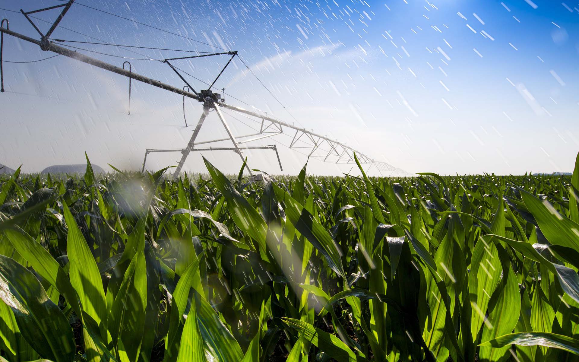
A growing population and economy together with climate change are putting pressure on fresh water availability around the globe.

SEN-ET is the Estimation of evapotranspiration (ET) based on the Sentinel satellites. By providing insights in ET we can improve irrigation efficiency. Thus assisting in monitoring several of the UN Sustainable Development Goals (SDGs), in particular: SDG2 – zero hunger, and SDG6 – clean water and sanitation.

Project highlights:

Developing an optimal methodology for estimating ET at both fine (tens of meters) and coarse (kilometer) spatial scales, based on synergistic use of Sentinel 2 and Sentinel 3 satellites’ observations

Robustly validating the estimated ET in numerous land use classes and climatic conditions, with special focus on agricultural areas

Implementing the method as an open source application, with free and open access to the code and application, integrated into existing software tools

In more detail..

SEN-ET (SENtinel EvapoTranspiration) is an Earth Observation application project funded by the European Space Agency (ESA).

The main objective of SEN-ET is to develop an open source implementation method for estimation of evapotranspiration, both at fine (tens of meters) and coarse (kilometre) spatial scales, based on the synergistic use of Sentinel 2 and 3 satellites.

The project focuses on agricultural applications of ET but also involves evaluating the model output in other land-covers (e.g. forest).

The project consists of three phases:

1. Reviewing of existing methodologies for estimation of ET and for bridging the spatial gap between S2 and S3 observations.

2. Prototyping and benchmarking the most promising approaches and evaluating the outputs in a number of ecosystems.

3. Fully implementing the best performing approach as an open-source software application.

A number of key users are expected to benefit from the developed ET modelling application.
Among them are:

European Space Agency:

The European Space Agency (ESA) is the European space programme and its mission is to explore Earth, its immediate space environment, our Solar System and the Universe.

ESA also works closely with space organisations outside Europe to develop satellite-based technologies and services, and to promote European industries.

EOatDHI part of the DHI GROUP

gras@dhigroup.com
+45 4516 9100

Agern Alle 5,
2970 Hørsholm,
Denmark

CVR: 36466871

EO4SD – Training workshop in Myanmar

EO4SD - Training workshop in Myanmar:

01 February 2019

EO4SD is the European Space Agency (ESA) activity on making satellite data useful in a development context, where DHI GRAS is priming the EO4SD “water” activities.

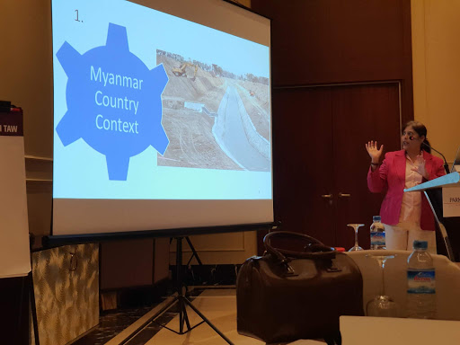
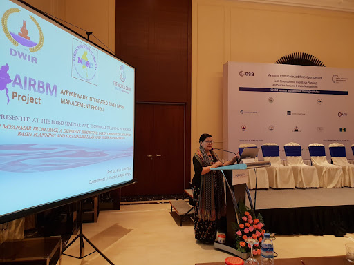
In this context, we are part of several training workshops in Myanmar interfacing with three Myanmar development projects funded by the Asian Development Bank and the World Bank. The outcome of the training's are enhanced capabilities for key project and governmental staff in understanding environmental changes to the Ayeyarwady Delta and Central Dry Zone – areas that are prone to a lot of problems including flooding, changes in rainfall patterns and drought.

The gallery below is from a week-long training in Naypyidaw on the 11th-15th of June , where our colleague Torsten Bondo was present (jointly organised by Satelligence, Faculty of Geo-Information Science and Earth Observation (ITC) of the University of Twente and DHI GRAS).

For more information on the EO4SD water initiative, click here.

EOatDHI part of the DHI GROUP

gras@dhigroup.com
+45 4516 9100

Agern Alle 5,
2970 Hørsholm,
Denmark

CVR: 36466871