

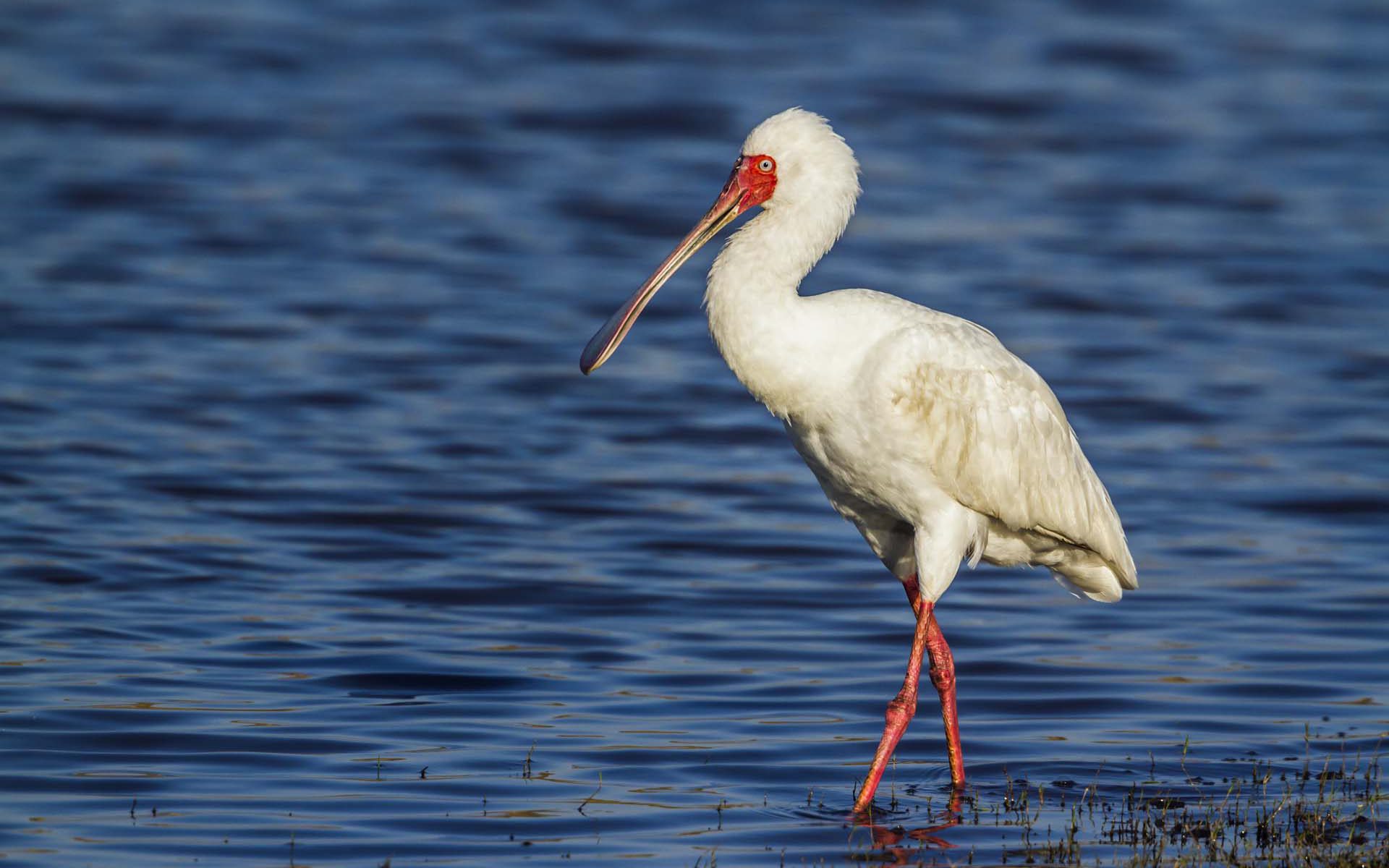
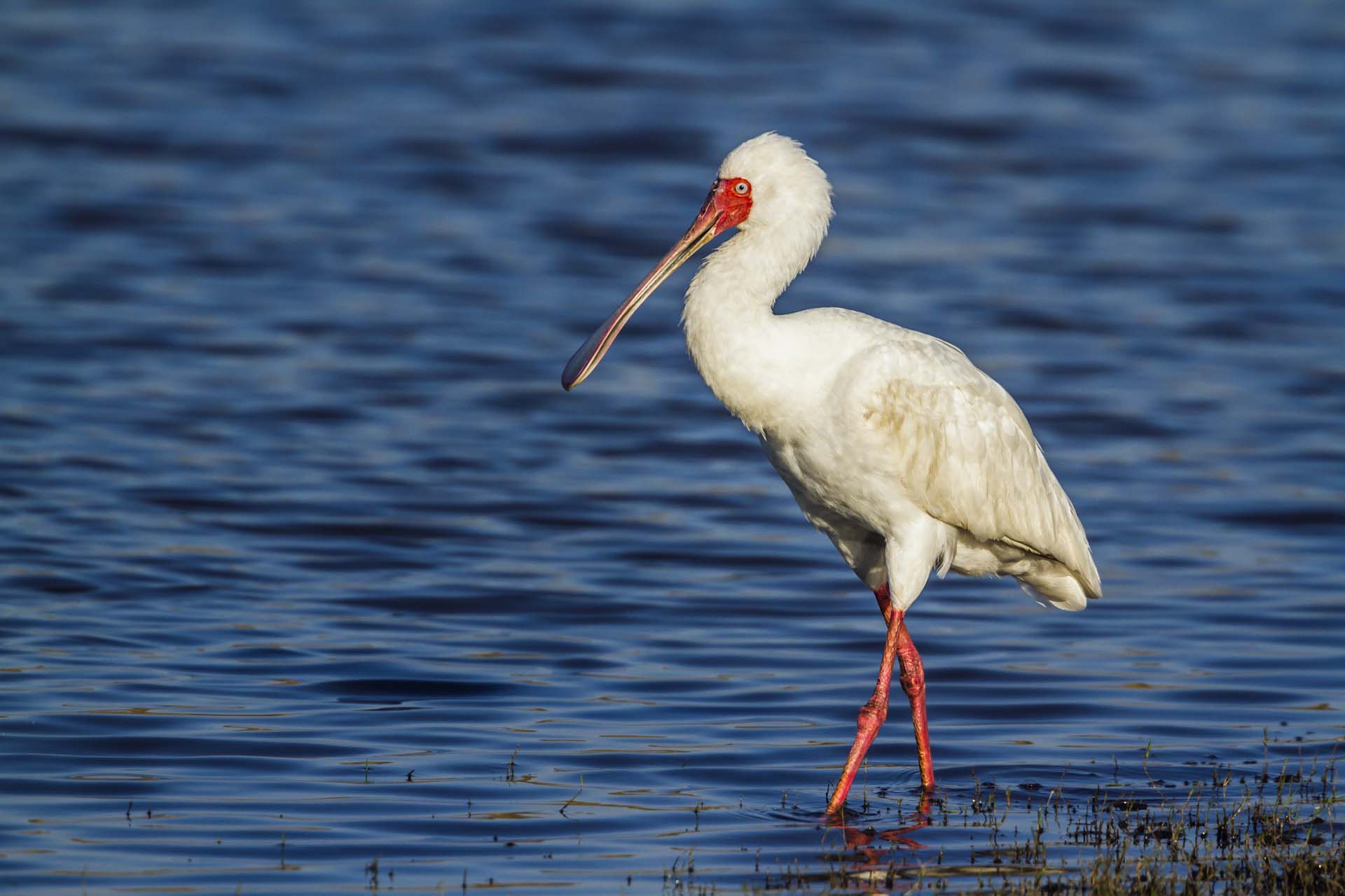
Tracking of national wetland inventory in Uganda. Wetland monitoring provides important insights for reporting on the Sustainable Development Goals.
The project has demonstrated how Earth Observation (EO) can support wetland monitoring in Uganda and with continued training sessions can become a valuable tool for wetland managers and practitioners, not only in Uganda, but potentially also paving the way for other East African countries to achieve a wetland inventory in the future.
Delivering a toolbox for wetland inventory mapping and demonstrating how Earth Observation can provide a full national wetland inventory in Uganda
Online portal for SDG reporting on SDG indicator 6.6.1 on wetland extent
Training national stakeholders in Uganda, and other RAMCEA countries, and providing a “lessons learned” and “roadmap” document for roll-out of the method, toolbox and online portal to other RAMCEA countries
The project was a unique demonstration of the full implementation of using Earth Observation to support the monitoring of wetland ecosystems on the national scale in Uganda.
Wetland monitoring is crucial for conservation and restoration of wetland ecosystems in Uganda which is explicitly mentioned in the national development plans. Hence, monitoring and reporting is not only important for reporting on the Sustainable Development Goal indicators, but should be anchored within and used by the national agencies to avoid further degradation of wetlands.
Within this project, a national baseline mapping of wetlands in Uganda was performed for 2016-2017 using all available Sentinel-1 and Sentinel-2 imagery to act as a baseline for SDG indicator reporting.
This also included a training component with three training courses, leveraging the GlobWetland Toolbox for doing national-scale wetland mapping and the inclusion of field data for classifier training and product validation, where the engagement of the local stakeholders and experts are key.
The open source toolbox provided to the local stakeholders consists of a specific component producing statistics and reports for SDG reporting which can be used by e.g. the Uganda Bureau of Statistics who are responsible for the SDG indicator reporting at the national level.
This is available from the online portal where the data, statistics and reports can be explored by users and agencies.
One of the other key aims of the project was to use the implementation in Uganda as demonstration case for uptake of the tools and methods by the other RAMCEA member countries. This was obtained through participation of key staff from the other RAMCEA countries in the training workshops, and by delivering guidance documents on “lessons learned” and “roadmap” for a roll-out.
The online portal for the project is now operated by the Ministry of Water and Environment in Uganda.
The project is funded by the Global Partnership on Sustainable Development Data (GPSDD) with support from the World Bank's Trust Fund for Statistical Capacity Building (TFSCB) with generous contribution by the Department for International Development (DFID), Irish Aid, and Korea.
EOatDHI part of the DHI GROUP
gras@dhigroup.com
+45 4516 9100
Agern Alle 5,
2970 Hørsholm,
Denmark
CVR: 36466871
Demonstrating the benefits and utility of EO services for water resources monitoring in wetlands
Benefit from the utility of EO services in response to stakeholder requirements for water resources monitoring and management at local to basin scales.
Following a systematic, user driven approach to meet longer-term, strategic geospatial information needs in the individual developing countries, as well as international and regional development organizations
Provision of EO demonstrations in Africa (Sahel, Africa Horn and Zambezi), Asia (Myanmar and Lao PDR) and Latin America (Bolivia and Peru), and within water related operations of major IFI’s including World Bank, Asian Development Bank, Inter-American Development Bank and the Global Environmental Facility
Advancing the current status of the adoption, progressive transfer and mainstreaming of EO-based information services as a standard management support tool within development operations at the national and international level
Satellite Earth Observation (EO) technology has a tremendous potential to inform and facilitate international development work.
EO4SD — Earth Observation for Sustainable Development — is an ESA initiative to support the uptake of EO-derived information in sustainable development, and with a focus on top-priority thematic areas including water resources management.
Since 2008, the European Space Agency (ESA) has worked together with International Financing Institutions (IFIs) and their client states to harness the benefits of EO in their operations and resources management.
Specifically, for water resource management the EO4SD will seek to demonstrate the benefits and utility of EO services in response to stakeholder requirements for water resources monitoring and management at local to basin scales. The EO4SD project started in 2016 and will end in autumn 2019.
Some of the key water related priority areas where EO-based geo-information is needed include:
Earth Observation for Sustainable Development (EO4SD)– is an ESA initiative which aims to achieve a step increase in the uptake of satellite-based environmental information in the IFIs regional and global programs.
It will follow a systematic, user-driven approach in order to meet longer-term, strategic geospatial information needs in the individual developing countries, as well as international and regional development organizations.
EOatDHI part of the DHI GROUP
gras@dhigroup.com
+45 4516 9100
Agern Alle 5,
2970 Hørsholm,
Denmark
CVR: 36466871
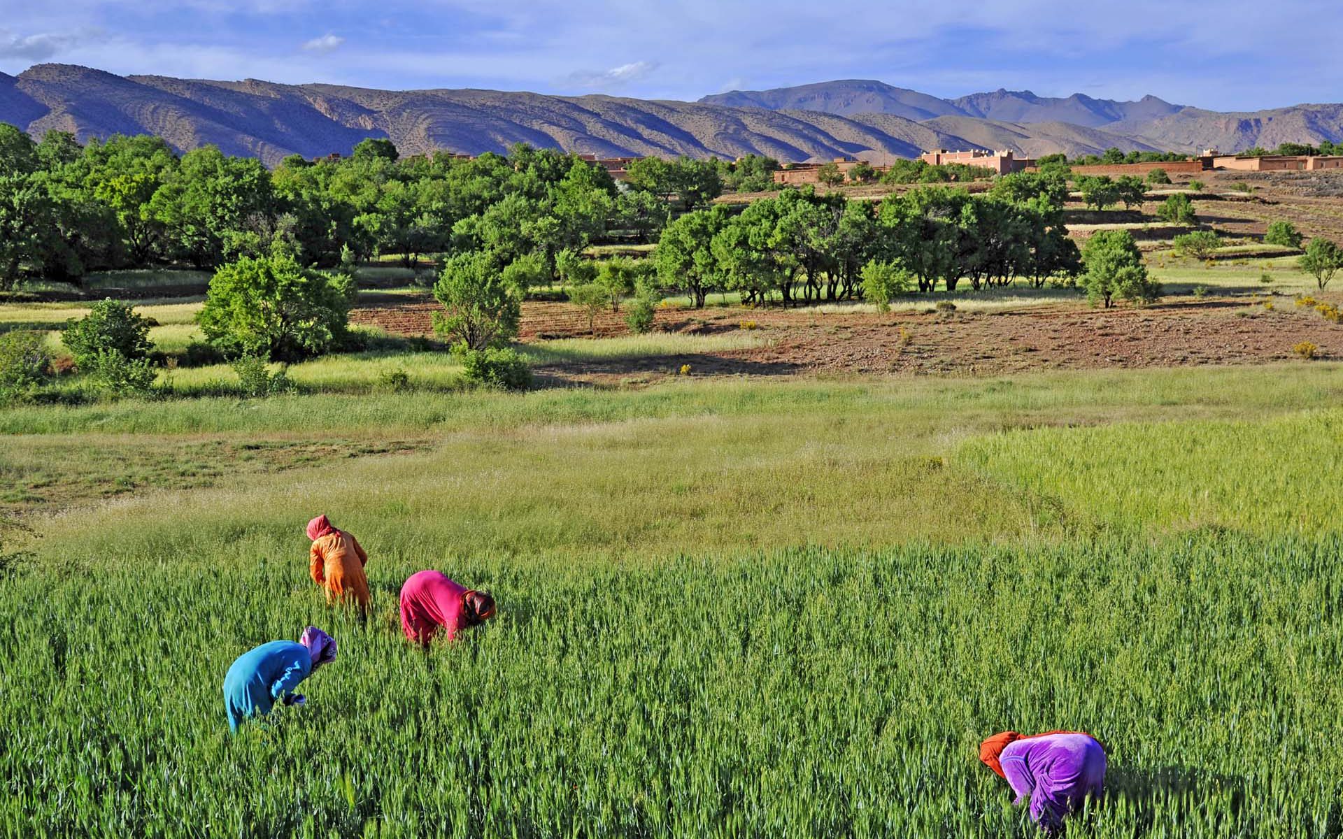
Enhances awareness and uptake of EO to support worldwide agricultural monitoring and management of rural development.

Enhances awareness and uptake of EO-based geo-information to support worldwide agricultural monitoring and management tasks. Providing insights in agriculture and rural development all around the world.
Increase awareness and uptake of information derived from satellite imagery in regular development operations at national and international level
Provide capacity training to project teams in client states for remote sensing and GIS
Deliver EO-derived information to project teams supporting sustainable land management
EOatDHI part of the DHI GROUP
gras@dhigroup.com
+45 4516 9100
Agern Alle 5,
2970 Hørsholm,
Denmark
CVR: 36466871
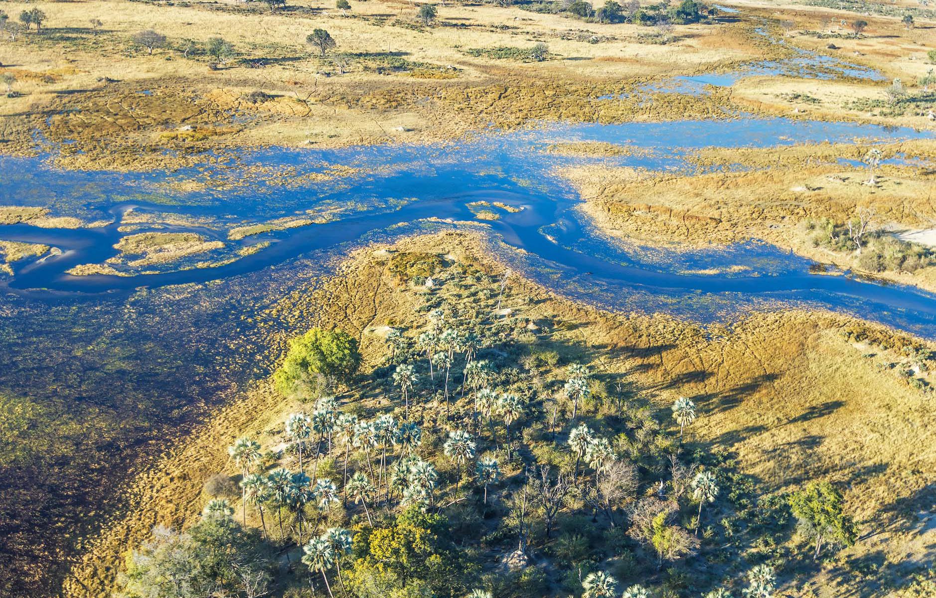
Helping African authorities make the best use of satellite-based information for wetland monitoring . . . . .

GlobWetland Africa will help African authorities make the best use of satellite-based information on wetland extent and conditions. Allowing better measurements of the ecological state of wetlands and their capacity to support biodiversity and provide ecosystem services.
Exploiting the increasing capabilities of satellite observations for wetlands inventory, assessment and monitoring
Developing a free of charge and open source software toolbox to better assess the state and change in wetlands and access “freely available” satellite observations from the Sentinel missions of the European Copernicus initiative
Enhancing the capacity of African stakeholders to develop national and regional wetland observatories
GlobWetland Africa (GW-A) is a large Earth Observation application project funded by the European Space Agency (ESA) in partnership with the African Team of the Ramsar Convention on Wetlands.
The project is initiated to facilitate the exploitation of satellite observations for the conservation, wise-use and effective management of wetlands in Africa and to provide African stakeholders with the necessary Earth Observation (EO) methods and tools to better fullfil their commitments and obligations towards the Ramsar Convention on Wetlands.
As an ultimate objective GW-A will aim to enhance the capacity of the African stakeholders to develop their own national and regional wetland observatories.
EOatDHI part of the DHI GROUP
gras@dhigroup.com
+45 4516 9100
Agern Alle 5,
2970 Hørsholm,
Denmark
CVR: 36466871
EOatDHI part of the DHI GROUP
gras@dhigroup.com
+45 4516 9100
Agern Alle 5,
2970 Hørsholm,
Denmark
CVR: 36466871