There are countless of open source products we use and love at DHI GRAS, and it is very dear to us to give back to the community.
Therefore, we are thrilled to announce that we have just released our new, light-weight tile server Terracotta as free software under an MIT License!
Terracotta directly serves your (cloud-optimized) GeoTIFF files, so you don't need to apply any pre-processing to get your raster data online, and it supports serverless deployment on AWS Lambda, so you can serve your data without any permanent infrastructure.
We urge you to check it out, and look forward to your feedback.
To get more yield with fewer resources, precision is key – especially with a precious resource like water. One way to know how much water crops really need is to measure how much water evaporates from the soil and plant surfaces. This is known as the evapotranspiration (or ET) rate, which helps farmers improve their watering efficiency
Torsten Bondo: Business development manager and senior remote sensing engineer at DHI GRAS in Denmark.
His team aims to use machine learning and satellites to support irrigation development and improve crop water efficiency in Uganda together with the Ugandan geo-information company Geo Gecko. The goal is to contribute to food security, poverty alleviation and economic growth.
The project that been chosen as one of the eleven changemakers to receive the Microsoft and National Geographic AIforEarth Innovation Grant.
With an increasing number of satellites launched in recent years and advances in the image analysis methods, remote sensing data has proven itself as a cheap and very valuable source of information for planning, construction and monitoring of offshore wind farms (OWF).
Mapping of water depths and seabed dynamics
Understanding of the seabed dynamics is highly relevant when planning to reduce potential risks of exposure of cables and infrastructure. Using advanced image analytics, it is possible to convert raw satellite images into quantified information of the seabed around OWFs. The information can either be derived as absolute water depth values in shallow waters (down to 25m), or as relative information highlighting the geomorphological dynamics, such as estimation of migration rates (metres per year) of sand waves.
DHI has successfully delivered this type of information for OWFs along the US east coast, in the North Sea and in Taiwan Strait.
Detailed monitoring of maintenance activities in near-real-time
As most satellites are in constant orbit around the Earth, they provide a mean for getting situational awareness when needed. Optical and radar (SAR) satellites can provide very detailed imagery down to 25 cm in detail level, and with no HSE risks associated. The images are a highly cost-efficient way of getting updated intel on specific OWF sites, allowing monitoring of specific maintenance or similar activities. The images can be delivered within just hours after the acquisition and thus provide the situational overview in near-real-time.
With the increasing amount of satellites, it is now possible to get a daily snapshot in very high resolution of any OWF site in the world. This capacity will be even further increased within the next few years where sub-daily (down to hourly) imagery is expected.
For years, satellite remote sensing data has provided incredible value to metocean processes and characteristics in relation to offshore wind. With the use of altimeters and radar sensors mounted on satellites, it is possible to derive several different parameters related to quantification of metocean conditions, such as winds, waves and sea surface height – today this is even possible very close to a coastline.
Not only is satellite data of significant value for wind resource estimation, it also allows for the establishment of an accurate and robust environmental design basis for building offshore wind turbines.
Today, it is common to apply aggregated measurements from different types of satellites and multiple passes in calibration and validation of numerical hydrodynamics and wave models, the so-called hind cast models – in combination with in situ synoptic observations. The outcome of the hind cast models are accurate time series (typically 30-40 years) of metocean data to be used for planning, design, construction and operation of an offshore wind farm.
Such data is readily available on modern metocean data platforms such as DHI’s MetOcean Data Portal, where long term data can be downloaded easily and quickly for subsequent processing and analysis. Before data (e.g. wave data) is downloaded, the data is always instantly validated against satellite data to assure the quality and robustness.
This week we have been meeting with our project partners DHI, Geoville, European Space Agency - ESA and UNEP-WCMC in Innsbruck to discuss how Earth Observation can contribute to the Sustainable Development Goals in our joint ESA project EO4SDG.
In the future, all UN countries have to report on a total of 256 indicators that each has separate methodologies. DHI GRAS is involved in a national mapping exercise for water use efficiency (SDG 6.4.1) in Uganda working with their statistical office and Ministry of Water and Environment.
The topic is also linked to another project funded by The Global Partnership for Sustainable Development Data (GPSDD ), where DHI GRAS is heavily involved in developing a full national wetland inventory in Uganda.
Uganda has been a pilot country for the monitoring of SDG Target 6.6, protect and restore water-related ecosystems. As part of the project a user-friendly digital system is under development for the Ugandan Ministry of Water and Environment. In time, it should be possible to scale to other countries in East Africa.
Accurate bathymetry improves your modelling results:
07 November 2018
Last week Rasmus Borgstrøm presented the topic of how new opportunities with satellite data can improve the usage of MIKE models.
During discussions and presentations throughout the annual MIKE User Group Meeting in Denmark, it became apparent that the hydrological model community has a need for more and better data. Satellites certainly provide an effective mean to fulfill that need and it was therefore demonstrated how new Satellite-Derived Bathymetry data significantly improves modelling results.
Contact us at gras@dhigroup.com if you want to know more about how satellite data can enrich your MIKE models.
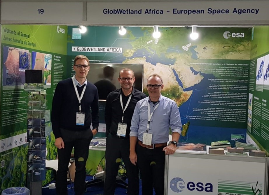
The Ramsar COP13 is well underway in Dubai, taking place from the 21st to 29th of October.
Here, the DHI GRAS led activity GlobWetland Africa is making several contributions to the event including presentations at three side events all focusing on how Earth Observation can support wetland monitoring.
The first presentation on “toolboxes” was presented at the side event on “The use of Earth Observation for wetland inventory, assessment and monitoring: An information source for the Ramsar Convention” organized by the STRP to summarize the findings in their latest technical report:
The second presentation contributed to the RAMCEA side event on “Earth Observation Support for Monitoring and Reporting on Wetlands” and summarized our country demonstration for Uganda on wetland inventorying and reporting for SDG 6.6.1.
Finally, the GlobWetland Africa project is taking part in “EO - a game changer for Ramsar Contracting Parties”; a side event jointly organized by ESA and JAXA to present innovative and cost-effective solutions for Ramsar contracting parties.
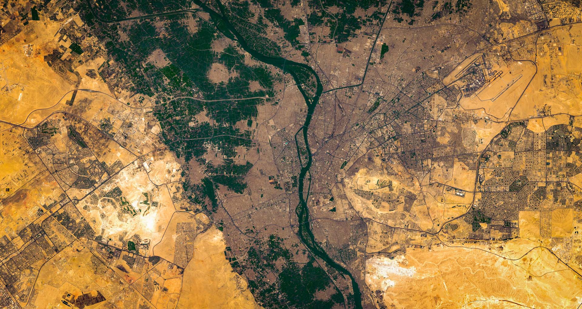
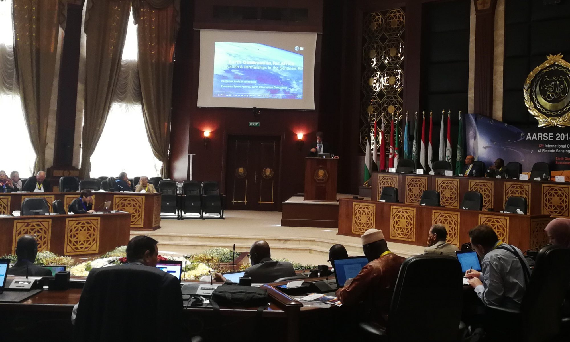
The 12th International Conference of the African Association of Remote Sensing of the Environment is taking place in Egypt this year.
The theme of the conference is Earth Observations (EO) and Geospatial Science in Service of Sustainable Development Goals and will run from the 25th to the 29th of October.
At DHI GRAS, we are heavily involved in this field, which we will demonstrate during a technical session on Space and Geospatial Science for Sustainable Development Goals based on the GPSDD project and our ESA-projects (GlobWetland Africa, EO4SD and EO for SDG).
The technical session will show how EO is supporting development projects in Africa in order to help countries better measure and manage their water resources.
Through practical examples, we demonstrate how the new generation of Sentinel satellites is used for large area monitoring of surface water resources (including wetlands), and agricultural land use.
To read more about each project please visit:
EO for SDG: no website available, so please contact us at gras@dhigroup.com, if you are interested in knowing more.
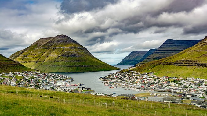
Satellite imagery proves itself as a strong alternative to aerial photos for the remotely located Faroe Islands.
DHI GRAS has contributed to a new topographic map of the Faroe Islands, published by Styrelsen for Dataforsyning og Effektivisering (Danish Agency for Data Supply and Efficiency) and the local Faroese authorities.
Based on our in-depth knowledge and experience with satellite imagery, we have provided updated and cost-efficient satellite imagery data fitting the needs of the new topographic maps covering Faroe Islands.
In Denmark, data collection typically takes place on the basis of aerial images. However, in the Faroe Islands, the weather is very changeable and it can be difficult and costly to get a complete coverage of the Faroe Islands with new images during a single summer. With satellites it is possible to get detailed imagery whenever there are gaps in the clouds, and without having to mobilize aircrafts and personnel to the remote location of Faroe Islands.
The new topographic map is in scale 1:20,000 and can be accessed via Kortforsyningen.dk.