Accurate bathymetry improves your modelling results:
07 November 2018
Last week Rasmus Borgstrøm presented the topic of how new opportunities with satellite data can improve the usage of MIKE models.
During discussions and presentations throughout the annual MIKE User Group Meeting in Denmark, it became apparent that the hydrological model community has a need for more and better data. Satellites certainly provide an effective mean to fulfill that need and it was therefore demonstrated how new Satellite-Derived Bathymetry data significantly improves modelling results.
Contact us at gras@dhigroup.com if you want to know more about how satellite data can enrich your MIKE models.
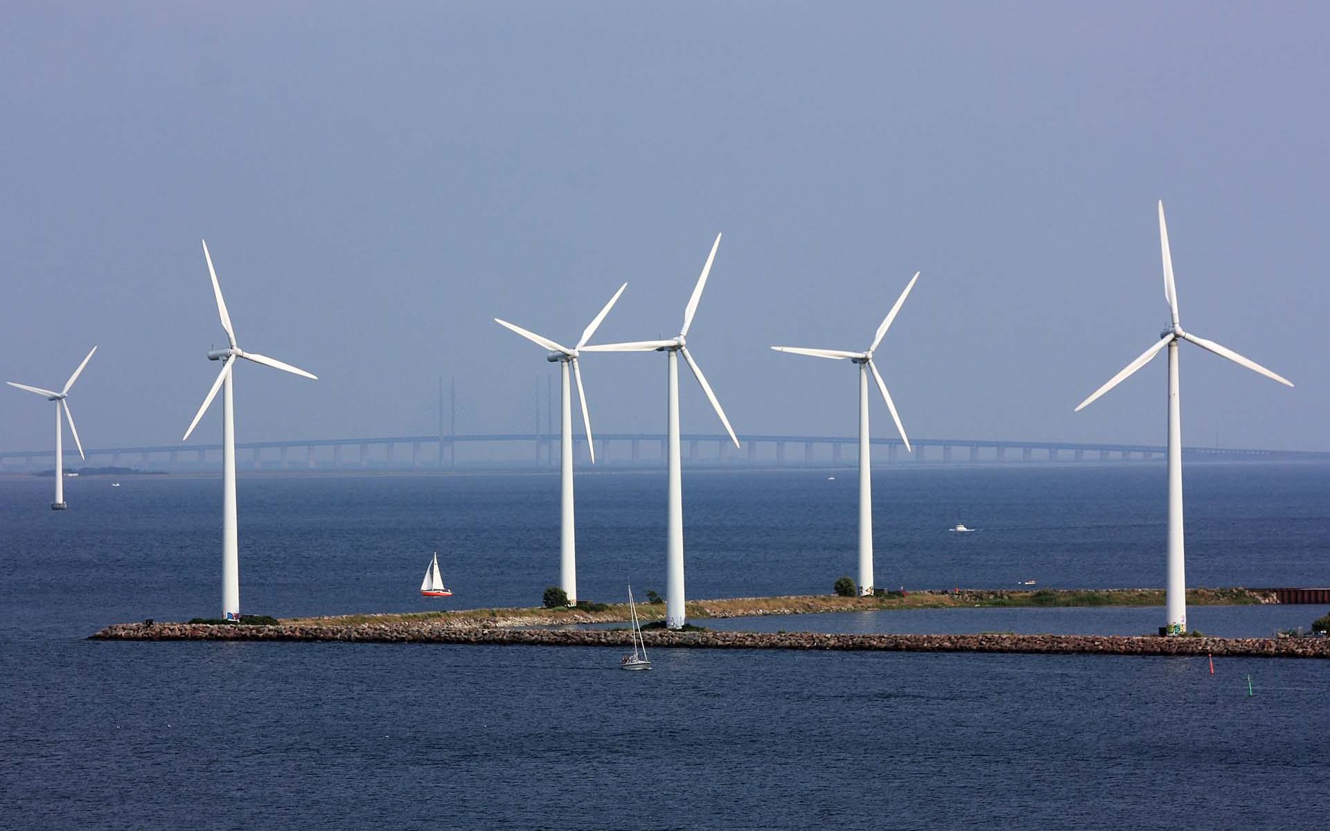
Fulfilling the needs of wind energy industries for improved land-based wind farm planning . . . .
InnoWind - wind energy efficiency
Fulfilling the needs of wind energy industries for improved land-based wind farm planning
Why is it important?
The improved services provided by Danish companies will decrease the cost of wind energy development by significantly increasing the precision of wind resources assessments and lowering uncertainty in the planning phase.
Project highlights:
Develop novel algorithms to derive aerodynamic surface properties from Copernicus data and test against ground truth at wind energy sites
Integrate satellite-based map layers seamlessly in flow models operated by industrial end-users
Document the scientific and financial impact of new satellite-based map layers for wind resource assessment
In more detail..
The InnoWind project has been funded by the Innovation Fund Denmark and is being conducted by DHI GRAS together with DTU Wind Energy and DTU Space, as well as wind industry leaders Vestas, EMD International and Vattenfall. The project is expected to run from 2017 to 2020.
InnoWind gives Danish companies a competitive edge in a rapidly growing market of wind resource assessment by equipping them with more accurate tools than competitors.
The improved services provided by Danish companies will decrease the cost of wind energy development by significantly increasing the precision of wind resources assessments and lowering uncertainty in the planning phase.
This will benefit energy systems planning and have a positive effect on financing of wind farms. Additionally, public entities establishing wind atlases will benefit from high quality model inputs; this is particularly relevant for emerging wind energy markets where such atlases are currently absent.
InnoWind will provide added value to end-users by delivering:
New methods for direct satellite-based parameterization of the surface drag force
Novel satellite-based map layers prepared for integration with flow models at the meso- and microscale – e.g. forest height and land cover
Adaptation of flow models to utilize new satellite-based input maps
Documentation of the scientific and financial impact of the project developments
Commercial exploitation of satellite-based products and services
The overall aim of Innovation Fund Denmark is to support the development of knowledge and technology, including advanced technology, in order to strengthen research and innovative solutions that may benefit growth and employment in Denmark.
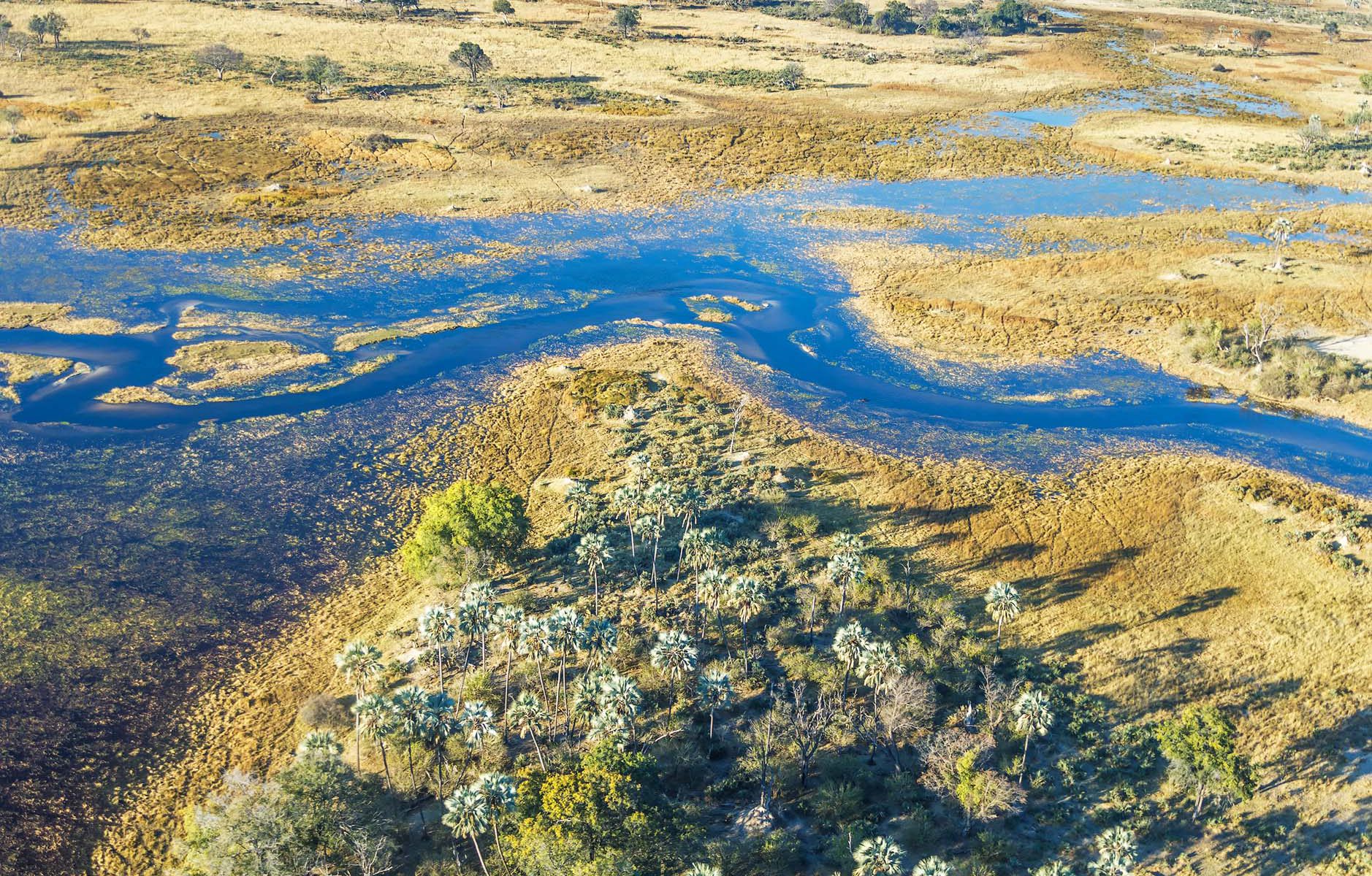
Helping African authorities make the best use of satellite-based information for wetland monitoring . . . . .
GlobWetland Africa
Implementing sustainable Earth Observation based wetland monitoring capacity in Africa
Why is it important?
GlobWetland Africa will help African authorities make the best use of satellite-based information on wetland extent and conditions. Allowing better measurements of the ecological state of wetlands and their capacity to support biodiversity and provide ecosystem services.
Project highlights:
Exploiting the increasing capabilities of satellite observations for wetlands inventory, assessment and monitoring
Developing a free of charge and open source software toolbox to better assess the state and change in wetlands and access “freely available” satellite observations from the Sentinel missions of the European Copernicus initiative
Enhancing the capacity of African stakeholders to develop national and regional wetland observatories
In more detail..
GlobWetland Africa (GW-A) is a large Earth Observation application project funded by the European Space Agency (ESA) in partnership with the African Team of the Ramsar Convention on Wetlands.
The project is initiated to facilitate the exploitation of satellite observations for the conservation, wise-use and effective management of wetlands in Africa and to provide African stakeholders with the necessary Earth Observation (EO) methods and tools to better fullfil their commitments and obligations towards the Ramsar Convention on Wetlands.
As an ultimate objective GW-A will aim to enhance the capacity of the African stakeholders to develop their own national and regional wetland observatories.
The European Space Agency (ESA) is the European space programme and its mission is to explore Earth, its immediate space environment, our Solar System and the Universe.
ESA also works closely with space organisations outside Europe to develop satellite-based technologies and services, and to promote European industries.
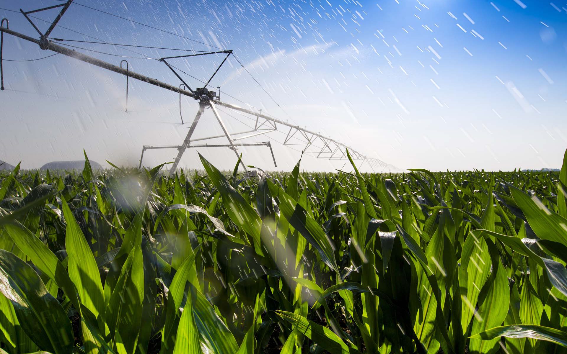
SEN-ET is the Estimation of evapotranspiration based on the Sentinel satellites. By providing insight in ET, it improves irrigation efficiency
SEN-ET
Estimation of evapotranspiration based on Sentinel 2 and 3 satellites for improved irrigation management.
Why is it important?
A growing population and economy together with climate change are putting pressure on fresh water availability around the globe.
SEN-ET is the Estimation of evapotranspiration (ET) based on the Sentinel satellites. By providing insights in ET we can improve irrigation efficiency. Thus assisting in monitoring several of the UN Sustainable Development Goals (SDGs), in particular: SDG2 – zero hunger, and SDG6 – clean water and sanitation.
Project highlights:
Developing an optimal methodology for estimating ET at both fine (tens of meters) and coarse (kilometer) spatial scales, based on synergistic use of Sentinel 2 and Sentinel 3 satellites’ observations
Robustly validating the estimated ET in numerous land use classes and climatic conditions, with special focus on agricultural areas
Implementing the method as an open source application, with free and open access to the code and application, integrated into existing software tools
In more detail..
SEN-ET (SENtinel EvapoTranspiration) is an Earth Observation application project funded by the European Space Agency (ESA).
The main objective of SEN-ET is to develop an open source implementation method for estimation of evapotranspiration, both at fine (tens of meters) and coarse (kilometre) spatial scales, based on the synergistic use of Sentinel 2 and 3 satellites.
The project focuses on agricultural applications of ET but also involves
evaluating the model output in other land-covers (e.g. forest).
The project consists of three phases:
1. Reviewing of existing methodologies for estimation of ET and for bridging the spatial gap between S2 and S3 observations.
2. Prototyping and benchmarking the most promising approaches and evaluating the outputs in a number of ecosystems.
3. Fully implementing the best performing approach as an open-source software application.
A number of key users are expected to benefit from the developed ET modelling application. Among them are:
Agriculturalists and organisations serving the needs of agriculturalists
Scientists and research organisations working in the fields of agriculture, hydrology and remote sensing
Data providers
Regional, national and international governmental and non-governmental organisations and initiatives
The European Space Agency (ESA) is the European space programme and its mission is to explore Earth, its immediate space environment, our Solar System and the Universe.
ESA also works closely with space organisations outside Europe to develop satellite-based technologies and services, and to promote European industries.