EO to support wetland monitoring

EO to support wetland monitoring:

26 October 2018

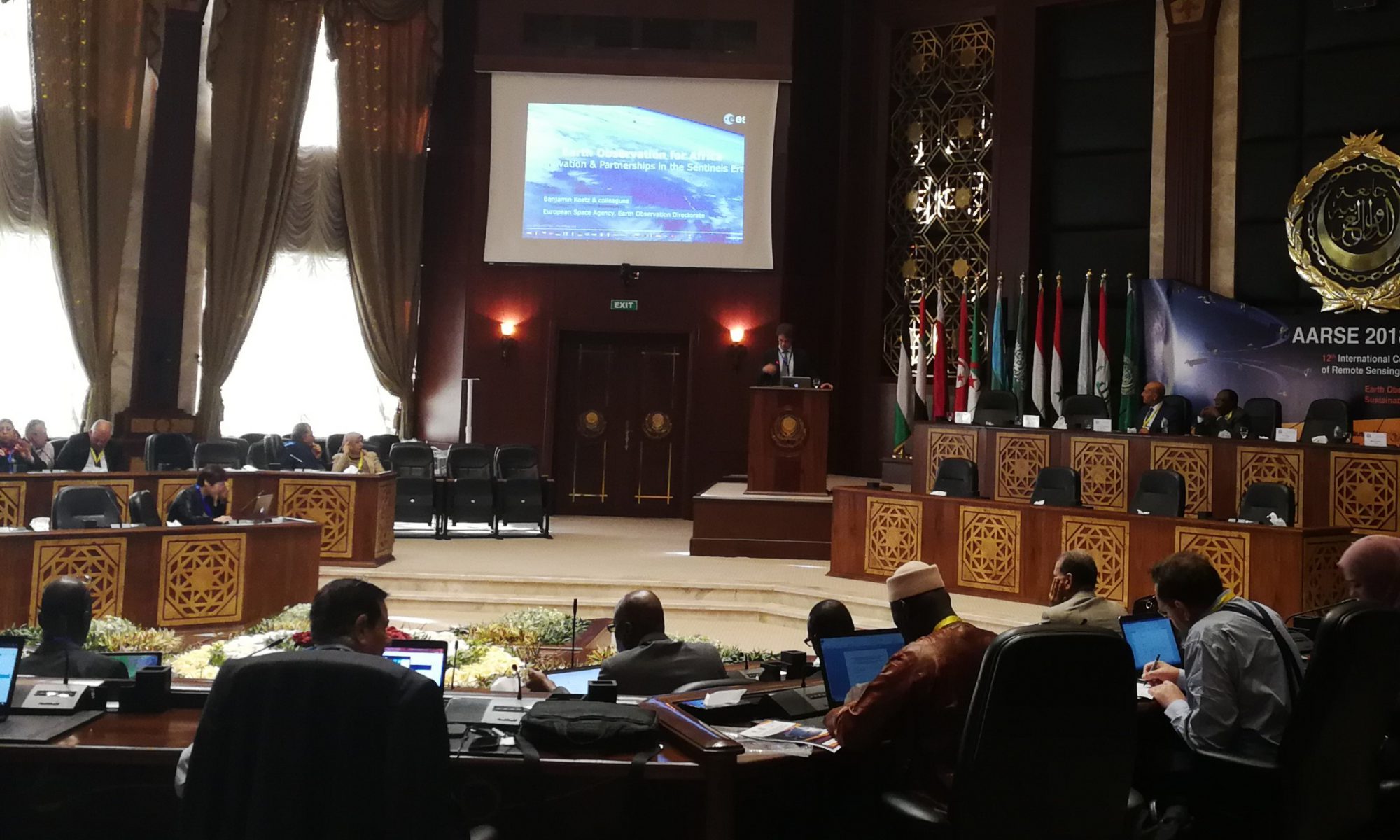
The Ramsar COP13 is well underway in Dubai, taking place from the 21st to 29th of October.

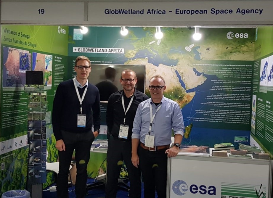
Here, the DHI GRAS led activity GlobWetland Africa is making several contributions to the event including presentations at three side events all focusing on how Earth Observation can support wetland monitoring.

The first presentation on “toolboxes” was presented at the side event on “The use of Earth Observation for wetland inventory, assessment and monitoring: An information source for the Ramsar Convention” organized by the STRP to summarize the findings in their latest technical report:


The second presentation contributed to the RAMCEA side event on “Earth Observation Support for Monitoring and Reporting on Wetlands” and summarized our country demonstration for Uganda on wetland inventorying and reporting for SDG 6.6.1.


Finally, the GlobWetland Africa project is taking part in “EO - a game changer for Ramsar Contracting Parties”; a side event jointly organized by ESA and JAXA to present innovative and cost-effective solutions for Ramsar contracting parties.

Read more about GlobWetland Africa here:

The GlobWetland booth at RAMSAR COP13

EOatDHI part of the DHI GROUP

gras@dhigroup.com
+45 4516 9100

Agern Alle 5,
2970 Hørsholm,
Denmark

CVR: 36466871

SDGs a central part of AARSE 2018

SDGs a central part of AARSE 2018:

26 October 2018

The 12th International Conference of the African Association of Remote Sensing of the Environment is taking place in Egypt this year.

The theme of the conference is Earth Observations (EO) and Geospatial Science in Service of Sustainable Development Goals and will run from the 25th to the 29th of October.

At DHI GRAS, we are heavily involved in this field, which we will demonstrate during a technical session on Space and Geospatial Science for Sustainable Development Goals based on the GPSDD project and our ESA-projects (GlobWetland Africa, EO4SD and EO for SDG).

The technical session will show how EO is supporting development projects in Africa in order to help countries better measure and manage their water resources.

Through practical examples, we demonstrate how the new generation of Sentinel satellites is used for large area monitoring of surface water resources (including wetlands), and agricultural land use.

To read more about each project please visit:
EO for SDG: no website available, so please contact us at gras@dhigroup.com, if you are interested in knowing more.

EOatDHI part of the DHI GROUP

gras@dhigroup.com
+45 4516 9100

Agern Alle 5,
2970 Hørsholm,
Denmark

CVR: 36466871

Forests of the World

Forest monitoring

How we helped:

The amazon is described as the lungs of our earth. Forest monitoring plays an essential role in checking its health. We developed a low-cost monitoring system for efficiently monitoring forest areas in Latin America, based on open source software and free data sources.

Project highlights:

Capacity building within the use of satellite imagery for effective, systematic and routinely monitoring of deforestation within indigenous’ territories in Latin America

Providing a low cost monitoring system based on open source GIS software and freely available optical and radar satellite images

Provision of on-site tailormade technical workshops focusing on effective coupling local field surveys with satellite remote sensing

Coordinator & Technical Adviser,
Jakob Rydding

Our cooperation with DHI GRAS on the development of low-cost monitoring systems, based on the application of open source GIS software and freely available optical and radar satellite images has exceeded our expectations.

DHI GRAS has with great skill and user-friendliness delivered a hands-on approach to using freely available data and technology to carry out participatory forest monitoring in large tropical forest areas. The combination of desk analyses and field verification creates a powerful and efficient tool, which has been an invaluable input to our own organisation as well as our partners in Latin America.

In more detail..

We successfully co-lead two technical workshops, hosted by the NGO Forests of the World (Verdens Skove), that introduced satellite-based monitoring of forest cover changes in indigenous territory in Bolivia and Panama.

The workshop participants were trained in the following topics:

Forests of the World:

Forests of the World (Verdens Skove) is an environmental NGO founded in Denmark in 1983 with the objective to conserve and manage the world’s forests in a sustainable way.

They create opportunities for communities and people, who aspire to save the forests of the world and aim to demonstrate and prove the value of the living forest through campaigns, consumer information, training, cooperation, and concrete work in and around the rainforest.

EOatDHI part of the DHI GROUP

gras@dhigroup.com
+45 4516 9100

Agern Alle 5,
2970 Hørsholm,
Denmark

CVR: 36466871

New topographic map of the Faroe Islands

New topographic map of the Faroe Islands:

16 October 2018

Satellite imagery proves itself as a strong alternative to aerial photos for the remotely located Faroe Islands.

DHI GRAS has contributed to a new topographic map of the Faroe Islands, published by Styrelsen for Dataforsyning og Effektivisering (Danish Agency for Data Supply and Efficiency) and the local Faroese authorities.

Based on our in-depth knowledge and experience with satellite imagery, we have provided updated and cost-efficient satellite imagery data fitting the needs of the new topographic maps covering Faroe Islands.

In Denmark, data collection typically takes place on the basis of aerial images. However, in the Faroe Islands, the weather is very changeable and it can be difficult and costly to get a complete coverage of the Faroe Islands with new images during a single summer. With satellites it is possible to get detailed imagery whenever there are gaps in the clouds, and without having to mobilize aircrafts and personnel to the remote location of Faroe Islands.

The new topographic map is in scale 1:20,000 and can be accessed via Kortforsyningen.dk.

EOatDHI part of the DHI GROUP

gras@dhigroup.com
+45 4516 9100

Agern Alle 5,
2970 Hørsholm,
Denmark

CVR: 36466871

Oil Spill Detection from Space

Oil Spill Detection from Space:

10 October 2018

Two ships collided off the coast of Corsica in the Mediterranean Sea on the 7th of October, leaving a 46 km long oil trail.

The oil spill was detected by the Sentinel 1 satellite which carries a synthetic-aperture radar (SAR) instrument. We have monitored the oil spill as it progressed in the following days after the ship collision, and using advanced image analytics we are able to map the actual surface covered with the spill. This type of image analysis serves as valuable validation data for oil spill modelling, as it gives clear evidence of where the oil was located at a specific time. The oil spill models can tell responders where the oil is most likely to travel and if it is threatening vulnerable natural resources.

Contact us at gras@dhigroup.com if you want access to the imagery in full resolution or if you are interested in hearing more about oil spill detection from space.

EOatDHI part of the DHI GROUP

gras@dhigroup.com
+45 4516 9100

Agern Alle 5,
2970 Hørsholm,
Denmark

CVR: 36466871

Asia Water Forum 2018

Asia Water Forum 2018:

04 October 2018

DHI GRAS attended the Asia Water Forum 2018 in Manila to discuss ways to identify and adopt innovations that best address the requirements for a water-secure Asia and the Pacific by demonstrating how Earth Observation can support water resources management, agriculture, and international development assistance including the monitoring and reporting requirements of the Sustainable Development Goals.

EOatDHI part of the DHI GROUP

gras@dhigroup.com
+45 4516 9100

Agern Alle 5,
2970 Hørsholm,
Denmark

CVR: 36466871