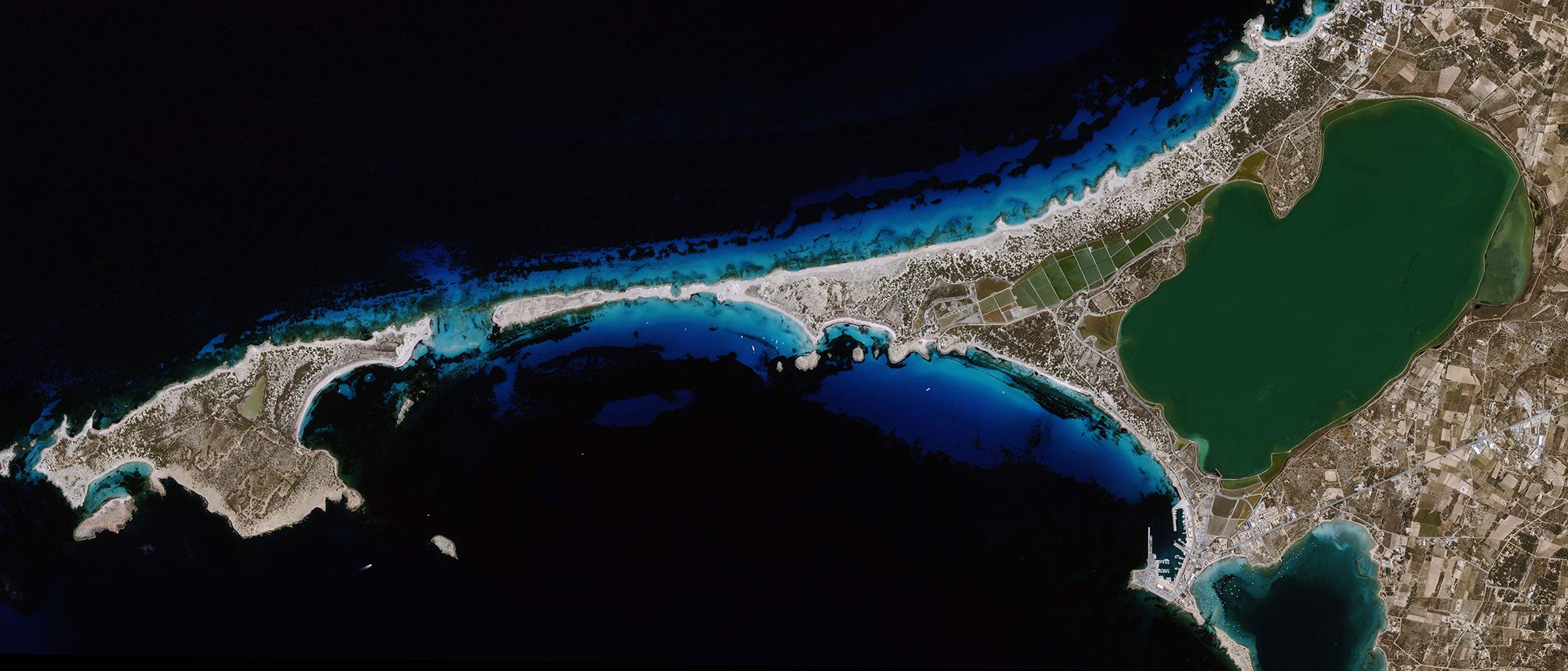
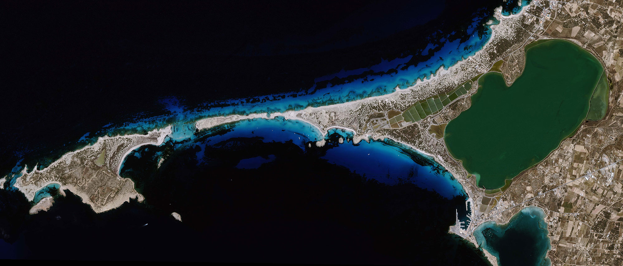
Satellite-based map layers to document resource assessment is highly valuable source of information
Satellite Imagery
Satellite-based map layers to document resource assessment
Why is it important?
Satellite imagery is a highly valuable source of information as the applications are many and can be tailored to the individual project.
Traditional field surveys to monitor areas and projects are costly and time-consuming, whereas this solution gives you the information you need at a similar price but much faster.
With satellite imagery you can track the local environment, the progress of your infrastructure project or urban developments. It also allows for comparison with archived data and depicts large and remote areas.
How does it work?
DHI GRAS is working together with the world’s leading providers of satellite imagery to increase the access to the continuously growing field of satellite data.
Due to the recent improvements in spatial resolution, satellites are now a competitive alternative to aerial photography and field visits in many different applications. An array of different satellites ensures your specific needs will be covered.
Our vast experience allows us to offer our customers an independent and solid advice on which satellite image that would fit the specific purposes best.
Through our distribution agreements with almost all commercial satellite operators we make sure the latest news and details are available to our customers.
What you get!
A product that fits into all types of GIS applications and other software packages
Access to independent and experienced advice on which satellite imagery fits your project the best
Access to a large portfolio (+50) of radar imagery with all-weather image capabilities
Typical customers?
Municipalities looking for a cost-efficient overview of their area
Researchers looking for detailed imagery for research purposes
Planners looking for detailed insights for remote sites before field surveying and construction activities
Specifications
WorldView-2: multispectral imagery at 1.8 meter resolution and panchromatic imagery at 0.46 meters
QuickBird: 60 cm resolution (panchromatic and pansharpened) and 2.4 m multispectral
GeoEye-1: 0.4 m resolution (panchromatic and pansharpened)
Ikonos: 4 m multispectral
RapidEye: 5 m
Pleiades: 4 band data at 2 m resolution and panchromatic data at 0.7 m
Price list
Get archived optical data products from €10/km² with a spatial resolution from 0.5 m
Get new optical data acquisition from €17/km² with a spatial resolution from 0.5 m
EOatDHI part of the DHI GROUP
gras@dhigroup.com
+45 4516 9100
Agern Alle 5,
2970 Hørsholm,
Denmark
CVR: 36466871