Locating impervious surfaces for better management of water runoff to prevent flooding, erosion . . . . . .
Urban Mapping
Locating impervious surfaces for better management of water runoff to prevent flooding, erosion and water pollution
Why is it important?
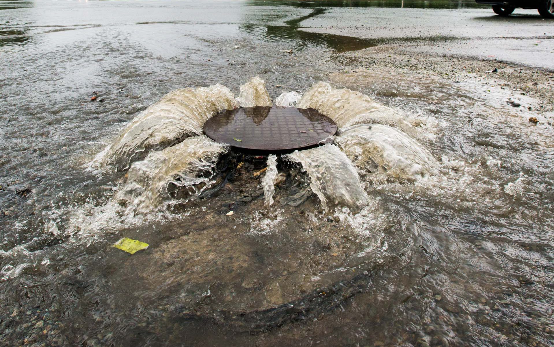
Urbanisation and growing commercial and residential development has substantially increased the proportion of impervious areas. Unlike areas with natural water percolation, impervious surface areas do not allow runoff to seep into the ground.
These impervious surface areas therefore have a large impact on storm water runoff – an impact which will be even further exacerbated in the future, where more extreme rainfall events are expected due to ongoing climatic changes.
In order to mitigate the potential threats from extreme weather events and promote sustainable urban planning, decision-makers and practitioners will need to know where all the excess water goes.
Spatially explicit information about the amount, location and type of impervious surfaces helps to evaluate how storm water runoff will be affected by future climatic changes as well as urban development.
How does it work?
The maps depict spatial explicit information about the amount, extent, location and type of impervious surface using advanced image analysis of satellite imagery or aerial photos.
With this approach an overview of the survey area can be given at a specific point in time and can differentiate between various types of impervious surface roads (e.g. roads, rooftops, parking lots) and pervious areas (e.g. parks, lakes, streams).
Our highly automated impervious surface solution is designed to provide professionals with the ideal reference information for hydrological modelling and urban planning.
What you get!
Updated and detailed maps of impervious surface areas in several thematic classes
Consistent and objective mapping, easily facilitating future updated maps
Delivery of the input satellite image in GIS format
Typical customers?
Urban planners use the maps to locate areas that may benefit from urban green planning or water infrastructure investments
Hydrological modelers use maps of impervious surface areas as key input for modelling of urban storm water runoff
Public decisionmakers use the maps to monitor the overall green status of the urban areas
Specifications
The thematic maps cover classes such as impervious areas, roads, buildings, vegetation and water
Data is ready for use in hydrological modelling software or Geographic Information Systems (GIS)
Mapping can be done based on existing aerial photos or on satellite imagery down to 30 cm spatial resolution
For river basin mapping, it is possible to perform the mapping at smaller map scales, using medium resolution satellite images
Price list
Prices starting at 75 EUR/sqkm
The price of Impervious Surface Mapping varies and relates to factors such as size of the area, input data types and availability of ancillary data
Contact us for a custom quote
EOatDHI part of the DHI GROUP
gras@dhigroup.com
+45 4516 9100
Agern Alle 5,
2970 Hørsholm,
Denmark
CVR: 36466871