AI4WATER - National Geographic Society and Microsoft Grant
Satellite-based evapotranspiration for improved crop water efficiency in Uganda.
Why is it important?
In Uganda, irrigation development contributes to food security, poverty alleviation and economic growth by using water sustainably.
Satellite remote sensing of evapotranspiration (ET) is an essential part of global observation systems. It provides inputs for agriculture, water resources management, weather forecasts, climate studies and many other applications. Easy access to reliable estimations of ET is a key requirement within these domains. When ET is successfully estimated at high resolution it can map crop water stress at field scale.
Project highlights:
Developing and implementing an open-source AI algorithm that merges optical, thermal and meteorological data.
The ability to get information on water stress levels for farms in Uganda. Due to the resolution, we can provide evapotranspiration information at farm level
Better insights can lead to 30% less water use for the same yield.
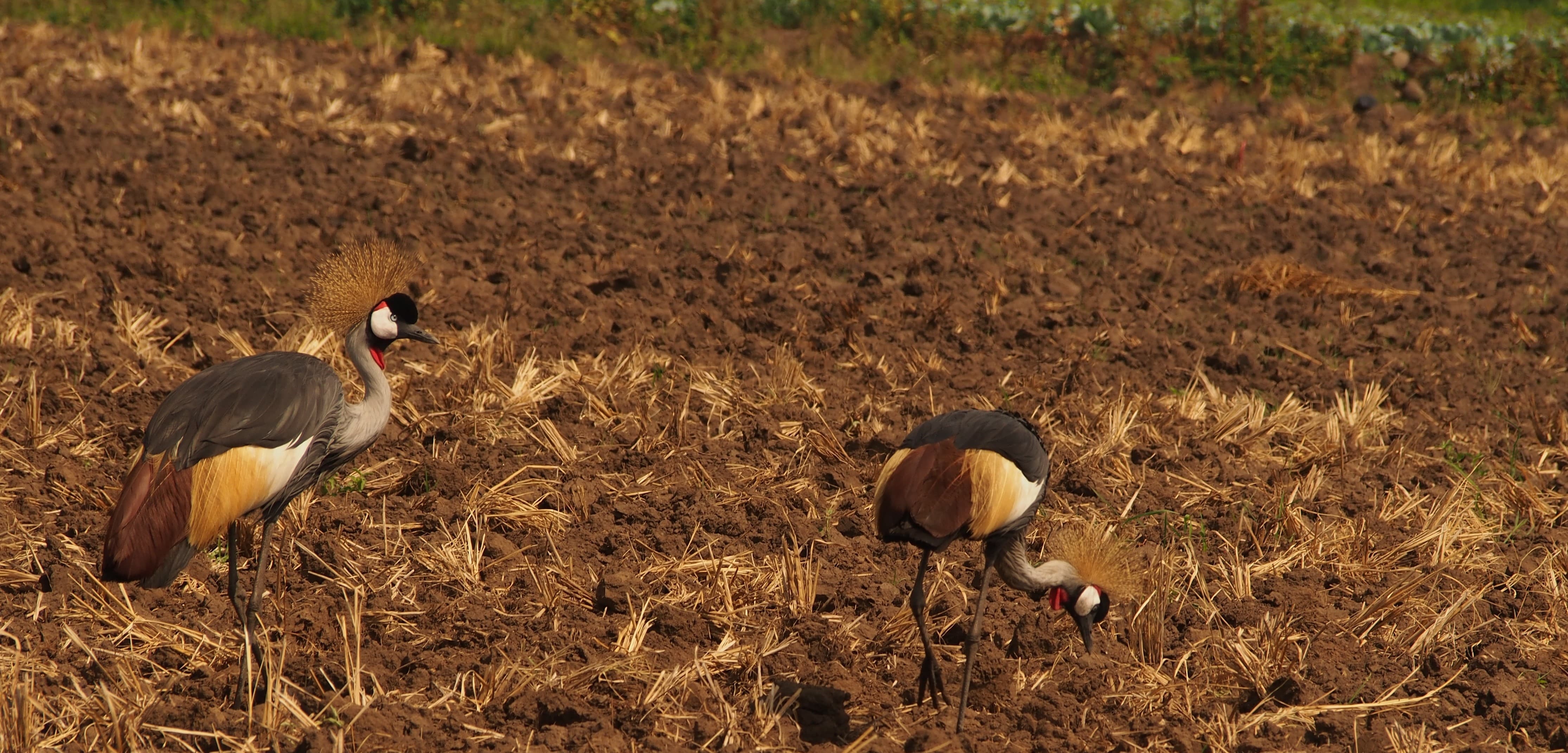
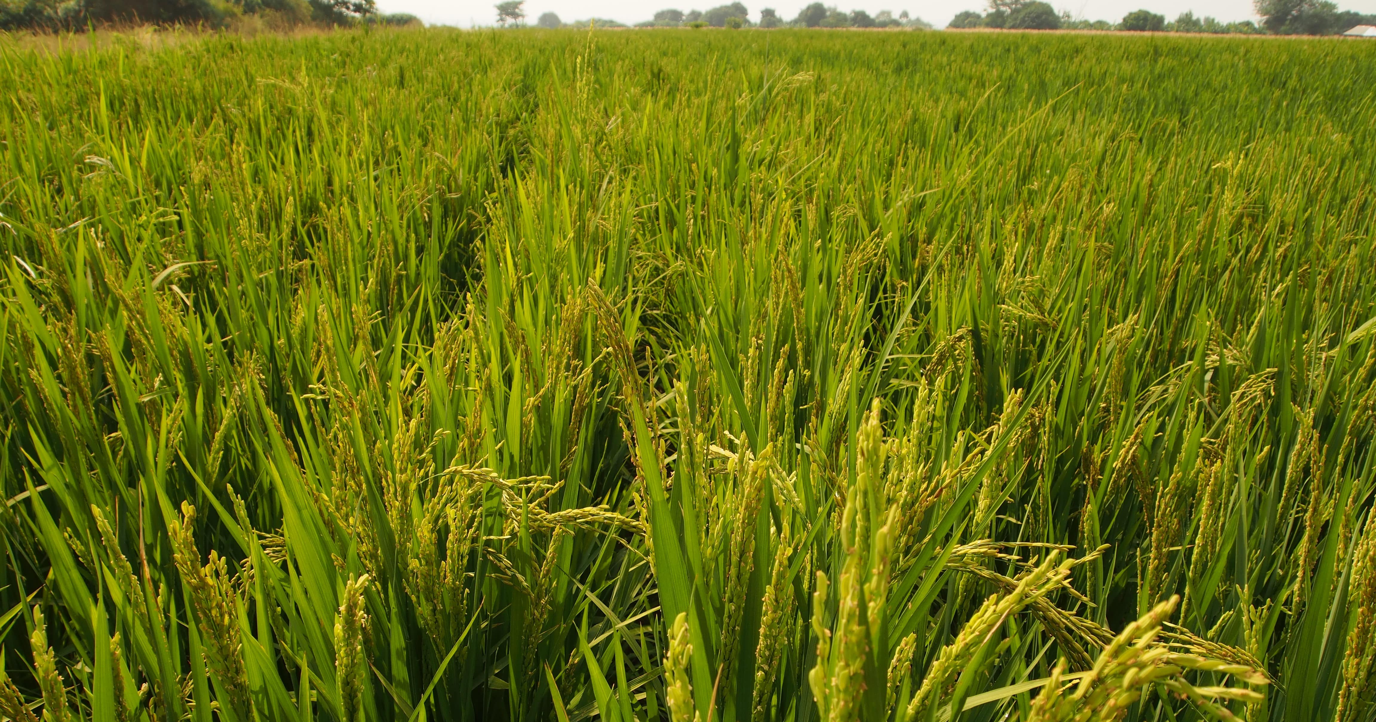
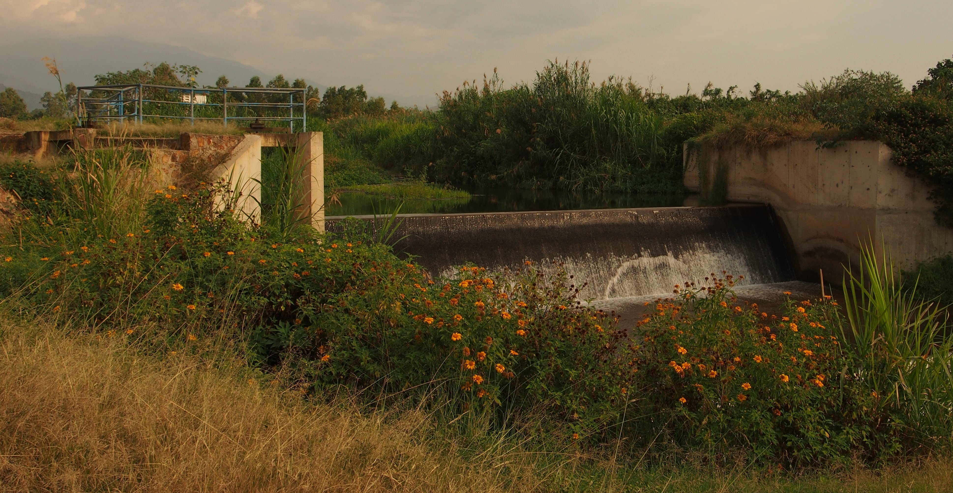
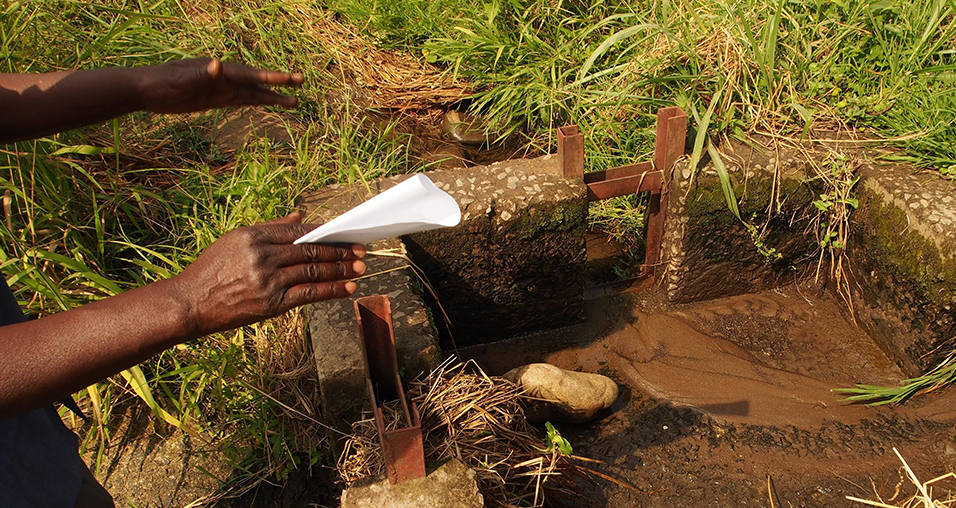
Mubuku, Western Uganda
The area holds close to 2000 hectares of smallholder farms watered by drainage channels
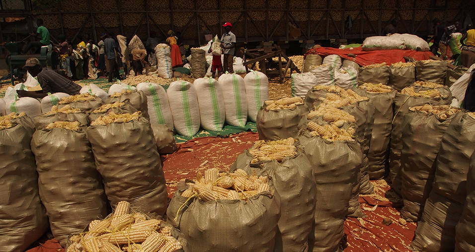
The main crops grown are maize, rice, onions and mangos
The purpose is to find out if crops are overwatered or under stress
In more detail..
This project aims to develop and roll-out a novel algorithm for obtaining evapotranspiration and crop water stress at farm level for a large national irrigation scheme in Uganda.
The site chosen for this project is Mubuku in the Kasese District.
It is expected that the project can lead to 30% less water use for the same yield, which would greatly benefit the local community and farmers.
Since the code will be open source the project can pave the way for better irrigation in drought prone countries.
The project is done in collaboration with our partners, the Ugandan geo-information company, Geo Gecko.
Microsoft and National Geographic AI for Earth Innovation Grant:
A new, joint grant program that will challenge environmental issues of the 21st century with the most advanced technologies available today.
“AI for Earth Innovation” grants will fund new solutions that leverage AI and cloud technologies to monitor, model and manage Earth’s natural resources.
Preparing for the future of the Common Agricultural Policy :
06 February 2019
An example of satellite-based catch crop monitoring in Denmark
Growing catch crops after main crops is considered an important management practice for the resilience and long-term stability of agricultural cropping practices. Catch crops are non-profit crops planted a few weeks after the harvest of the main crop and before the next one is sown. This practice imitates the natural ecosystem by preserving soil nutrient resources such as nitrogen and phosphorous, increasing soil fertility and carbon sequestration, and reducing soil erosion.
In Europe, catch crops are part of the second pillar of the Common Agricultural Policy (CAP), an agricultural subsidy system for farmers, where farmlands of more than 15 hectares generally have to designate 5% of the arable land as “ecological focus areas” in order to comply with the provision. Growing catch crops such as fodder radish, yellow mustard and different grasses are one way to live up to this requirement.
EU regulations provides rules for the financing of CAP expenditure and for relevant management and control systems, requiring Member States to put an integrated administration and control system in place for the management of most of the EU agricultural spending. In Denmark, this is managed by the Danish Agricultural Agency (DAA), whose work involves many field-based controls and heavy administrative burdens.
Agricultural monitoring using satellite-based information serves as an efficient supplement to monitoring efforts performed by national agencies. At DHI GRAS, we have completed several projects for the DAA with promising results.
Our latest study focused on catch crop monitoring and maize harvest detection
One of the major challenges to large area monitoring using satellite imagery is that
the data is highly irregular in time. For example, any two fields in Denmark will have very
different imagery available, due to different orbit overpass times over each field, and because of
gaps caused by cloud cover. To solve this challenge, we developed innovative processing techniques so that all available cloud-free imagery over Denmark can be used seamlessly in machine learning algorithms that can accurately map catch crops.
We tested a number of advanced machine learning and deep learning methods to optimize processing time and mapping accuracy – gathering valuable knowledge of current technological capabilities and which areas require further methodological development.
We’ve found great potential in using satellite imagery in connection with the agricultural industry especially for farmers, who can look forward to less paperwork and fewer control visits by the DAA.
Although information from satellites cannot completely replace field visits, it can be used to indicate to the DAA where they should focus their field visits.
By using satellites, we are taking a natural step towards the future of agricultural monitoring and are making the first experiences which over time will make it easier to live up to CAP regulations, both as a farmer and as a national agency.
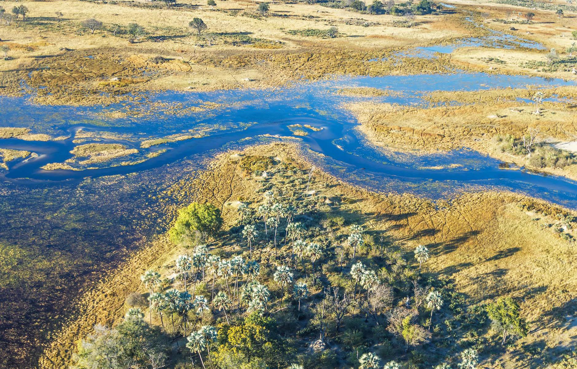
In celebration of World Wetlands Day on the 2nd of February 2019, and in recognition of the important role of wetlands in mitigation and adaptation to climate change, GlobWetland Africa is proud to announce the publication of several use cases on our new web viewer.
For all wetlands there is a relation to climate change. Water levels are critical to wetlands so changes in climatic conditions (e.g. the nature and variability of the wet and dry seasons, and the number and severity of extreme events) will highly influence wetland structure and functioning. But wetlands are also exposed to non-climatic anthropogenic impacts which can be amplified by climate change (e.g. drainage, water withdrawal, eutrophication, etc.).
Climatic and non-climatic drivers act synergistically causing wetland changes that can be difficult or impossible to reverse.
Better information on wetland status and trends are paramount to preserve and reverse the ongoing loss of wetlands. GlobWetland Africa can assist wetland managers and practitioners with Earth Observation data, tools and information that is needed to make informed decision for wetland conservation and restoration.
Check out the visualizations of selected use case stories here.
The powerful combination of AI and Earth Observation Data:
01 February 2019
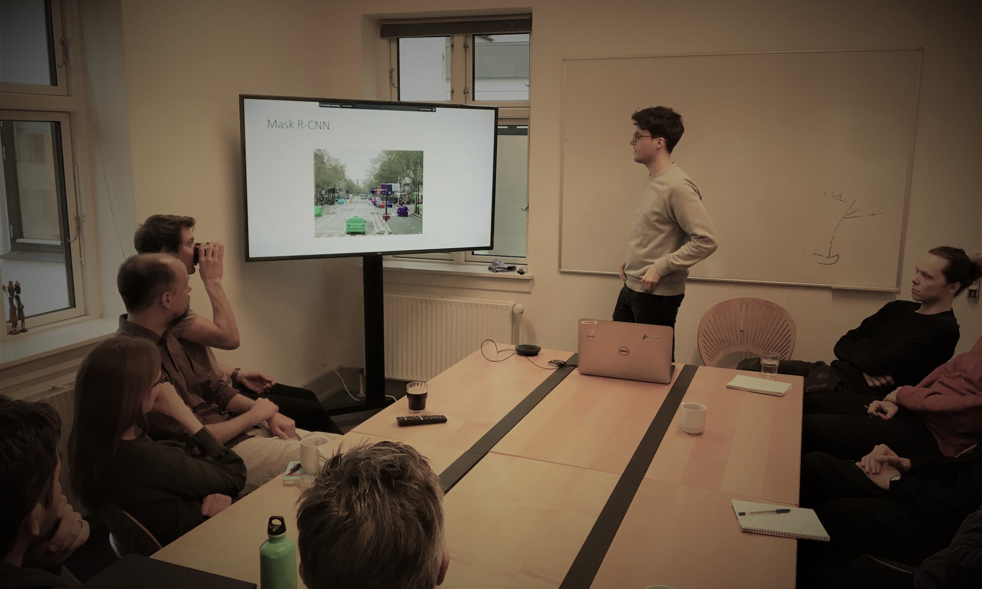
At DHI GRAS we routinely conduct coffee talks, where our experts present their latest research and development within advanced image analytics, data science or other trends within Earth Observation.
This week our AI expert Philip Graae demonstrated results of applying Deep Learning on Earth Observation Data.
By using principles of transfer learning, we have trained a state-of-the-art object detection neural network to detect and segment small and very detailed objects within earth observation image data.
With proper tuning and by using techniques such as data augmentation, it is possible to get good results with just a small amount of training data as input to the AI.
We rely on such deep learning techniques when traditional image analytics is not sufficient to extract the information from the imagery.