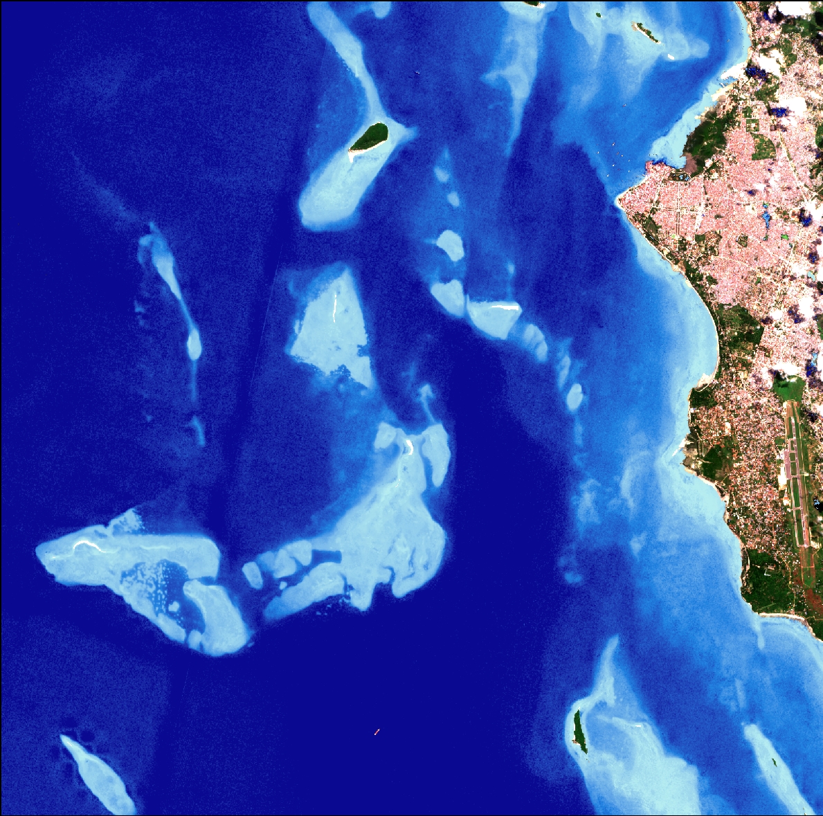
International Day of the Tropics was celebrated on the 29th of June. This is a region that faces a number of challenges such as deforestation, logging, urbanization and demographic changes and is particularly vulnerable to droughts, floods and storms as climate change accelerates.
Did you know that:
- The Tropics account for 40% of the world’s total surface area and are host to approximately 80% of the world’s biodiversity
- The Tropics host nearly 95% of the world’s mangrove forests by area and 99% of mangrove species
- The Tropics have just over half of the world’s renewable water resources and yet almost half of their population is considered vulnerable to water stress.
At DHI GRAS, we have several projects with pilot sites located in the Tropics, where we help to develop and demonstrate how earth observation can benefit sustainable development in a number of different ways.
Curious to know more?
Read about our EO4SD initiative (http://eo4sd.esa.int/) or the GlobWetland Africa project (https://lnkd.in/dziDPN6).
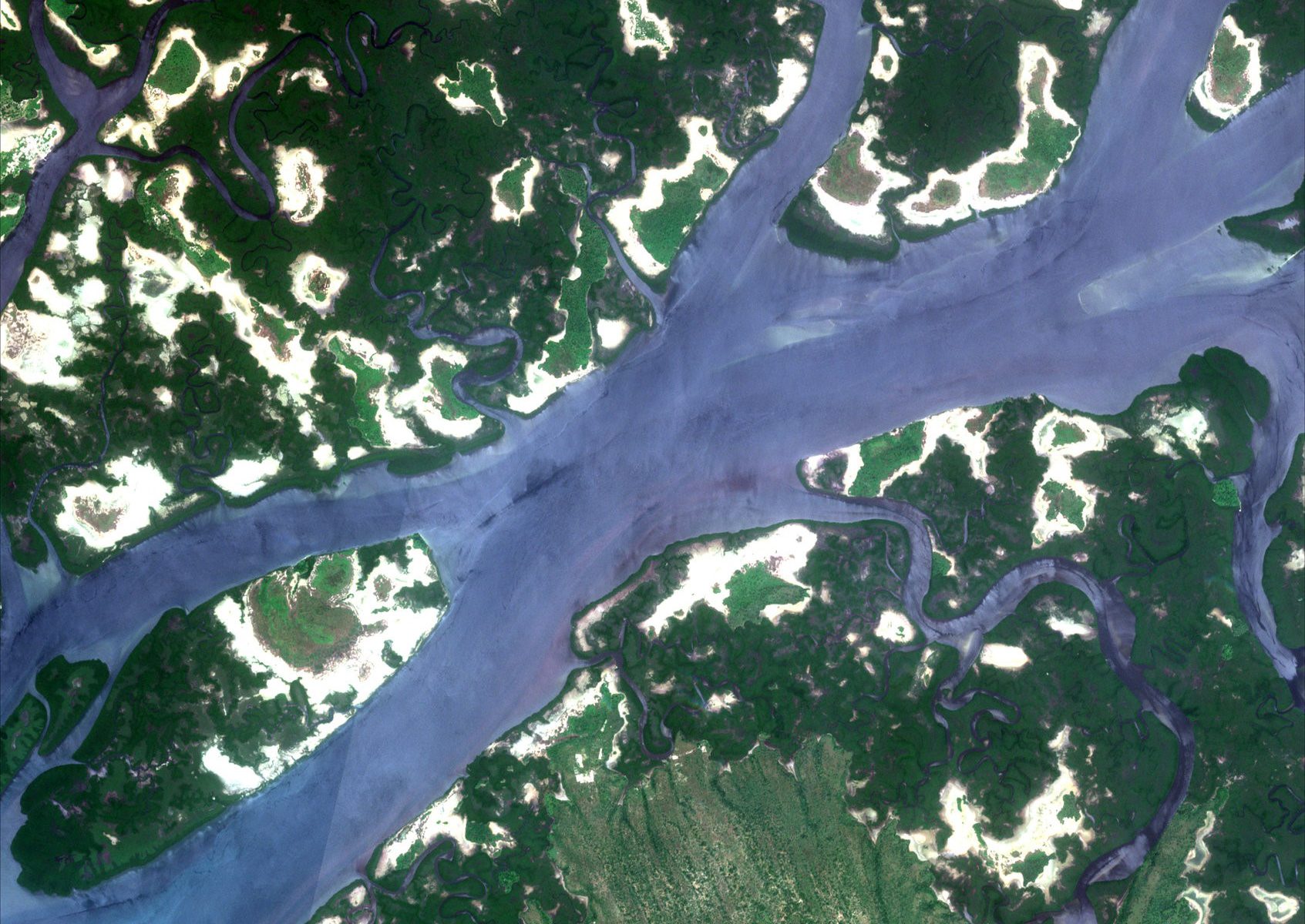
Delta de Saloum National Park, Senegal Copyright: DHI GRAS, contains modified Copernicus Sentinel data (2018)
We have provided a case for the “Brug rummet” initiative under the Ministry of Education and Research, which focuses on the uses of space technology. Read about it here (in Danish)
Meet Christian Tøttrup, a senior project manager at DHI GRAS, who is responsible for a number of projects within DHI GRAS.
Below, he shares how a week sometimes looks for him.
Day 1: Travelling to Hamborg for meetings on the GlobWetland Africa (GW-A) project, with the rest of the partners in the consortium, to review the GW-A products and plan for the next couple of months. GW-A is a large Earth Observation application project.
Day 2: Continuing meetings in Hamborg on GW-A with the consortium and planning for the upcoming 13th Meeting of the Conference of the Contracting Parties to the Ramsar Convention on Wetlands COP13, taking place in Dubai in October this year.
Day 3: Travelling to Lomé in Togo
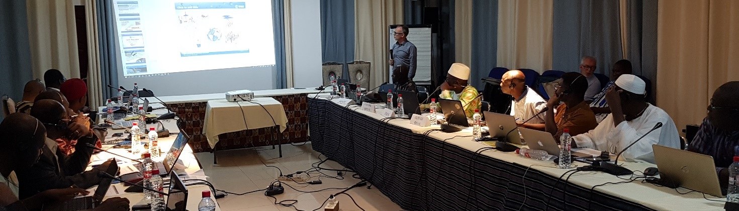
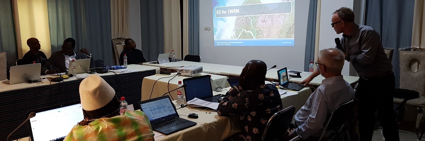
Day 4&5: Attending a workshop on the ECOWAS regional water observatory in Lomé. As project lead on EO4SD Water, Christian on behalf of DHI GRAS contributed to the inception workshop on the ECOWAS regional water observatory with a presentation on how Earth Observation can help with monitoring and evaluating on Integrated Water Resources Management (IWRM) across the countries and transboundary basins of ECOWAS.
As project lead on EO4SD Water, DHI GRAS contributed to the inception workshop on the Economic Community of West African States (ECOWAS) regional water observatory with a presentation on how Earth Observation (EO) can help monitoring and evaluation of Integrated Water Resources Management (IWRM) across the countries and transboundary basins of ECOWAS.
The ECOWAS Water Resource Coordination Center has received funding from the African Developing Bank for setting up a regional water observatory, a decision supporting tool, whose role is to monitor water management at country and basin levels. DHI together with the Global Water Partnership (GWP) has been selected as the consultants to implement and secure operationalization of the Observatory and build capacity in its usage.
The EO4SD was invited to attend and contribute to the inception workshop held in Lomé, Togo on the 20th to 22nd of June 2018. A key objective of the workshop was to discuss and consolidate the around 110 indicators for monitoring and evaluation of IWRM across the 15 countries and transboundary river basins of ECOWAS. Once consolidated, the natural next step is the considerations on how to report on those indicators, and this is where EO can help. Through the lens of specific case studies, Dr. Christian Tottrup, from DHI GRAS and project lead on EO4SD, gave the participants an introduction to how global coverage EO data can be used to systematically and accurately measure - amongst others - the range of agricultural activities, inland surface water and water quality as well as assessing the extent and impact of floods and droughts – all of which are important aspects of the indicator framework being developed for the ECOWAS regional water observatory.
During the subsequent discussion, it was clarified that EO based information should not be a replacement for in-situ networks, but may complement them, offering cost-effective solutions for up-scaling in space and time needed to capture information in data scarce regions not covered by the conventional field measurements. Although, participants recognized the potential of EO data for IWRM, the current implementation of the Observatory does not allow for extended use of EO data, but there was a mutual consent to interact with donors to work towards greater use of EO information services in future enhancements of the ECOWAS regional water observatory.
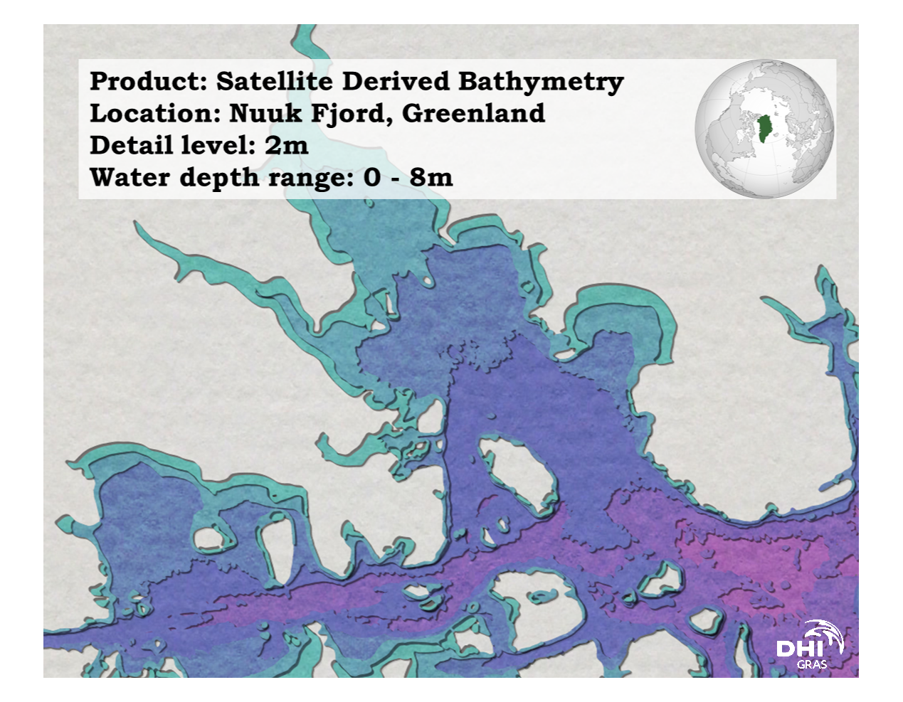
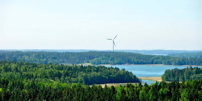
At DHI GRAS, we value the sustainability of seas, oceans and waterways, which this year is marked by World Hydrography Day with the theme "Bathymetry - the foundation for sustainable seas, oceans and waterways".
At DHI GRAS, we use satellites to derive bathymetry data from all over the world. A significant part of the global underwater coastal zone is still unmapped or subject to dynamic changing seabed features. This makes it difficult for ships to navigate safely, and is a big cause for concern for both human lives and potential environmental disasters from groundings. We are working to minimise these risks.
We are a leading global provider of satellite-derived bathymetry, and with modern satellites and advanced physical modeling of the water column, it is possible to derive reliable water depths in shallow waters at low costs with no risks associated.
Zanzibar Copyright: DHI GRAS, contains modified Copernicus Sentinel data (2018)
At DHI GRAS, we are working closely together with partners from DTU Wind Energy, DTU Space, National Space Institute, Vestas, EMD International A/S and Vattenfall Business Services Nordic AB to fulfill the needs of the wind energy industry for land-based wind farm planning with new Earth Observation based products and services. The InnoWind project is funded by the Innovation Fund and will run until 2020.
Satellite-derived products developed by DHI GRAS and InnoWind partners give Danish companies a competitive edge in a rapidly growing market of wind resource assessment by equipping them with more accurate tools than competitors. The InnoWind project will provide automated forest height estimates and land cover maps from satellite imagery, which can significantly improve wind flow models. The improved services provided by Danish companies will lower the cost of wind energy development by significantly increasing the precision of assessments of wind resources which reduces uncertainty in the planning phase. This will benefit the energy system planning and have a positive effect on the financing of wind farms.
To learn more about the InnoWind initiative, click here.
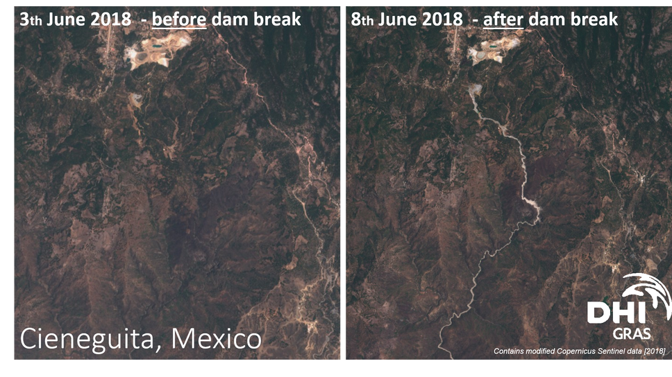
A dam holding liquid waste collapsed on June the 4th in Cieneguita, Mexico, leaving 3 dead and between 8 and 23 missing.
The current was so strong that people, machinery and vegetation was carried away by the river, that was coloured white from the chemical products, sand and earth that formed a dense mass.
The satellite images from Sentinel-2 show before and after the event, clearly depicting the white river of tailings.
So far, the environmental impact is unknown.
EO4SD is the European Space Agency (ESA) activity on making satellite data useful in a development context, where DHI GRAS is priming the EO4SD “water” activities.
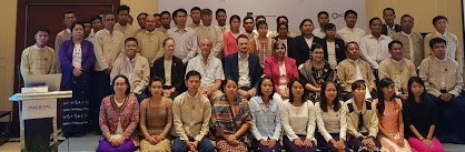
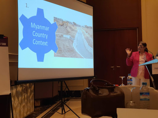
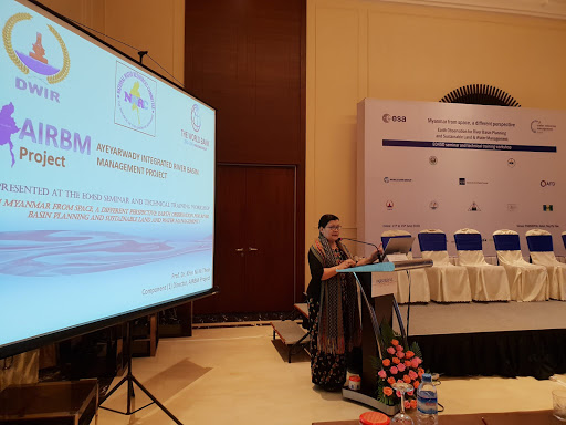
In this context, we are part of several training workshops in Myanmar interfacing with three Myanmar development projects funded by the Asian Development Bank and the World Bank. The outcome of the training's are enhanced capabilities for key project and governmental staff in understanding environmental changes to the Ayeyarwady Delta and Central Dry Zone – areas that are prone to a lot of problems including flooding, changes in rainfall patterns and drought.
The gallery below is from a week-long training in Naypyidaw on the 11th-15th of June , where our colleague Torsten Bondo was present (jointly organised by Satelligence, Faculty of Geo-Information Science and Earth Observation (ITC) of the University of Twente and DHI GRAS).
For more information on the EO4SD water initiative, click here.
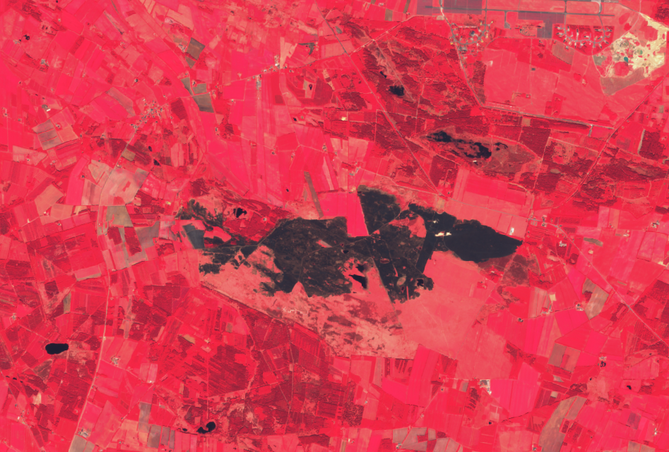
In our previous post, we showed you how satellite imagery from Sentinel-2 captured the fire at Randbøl Hede near Billund on May the 25th.
Sentinel-2 as false colour composite (vegetation becomes red) is here seen illustrating the damage of the fire, estimated at around 350 hectares of land.
The video shows the area before, during and after the fire.